Got a Dream Boy?
Got a Song?

And Come Along…
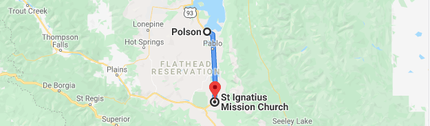
Polson, Montana
July 25-28, 2019

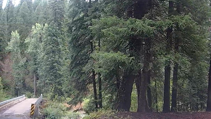
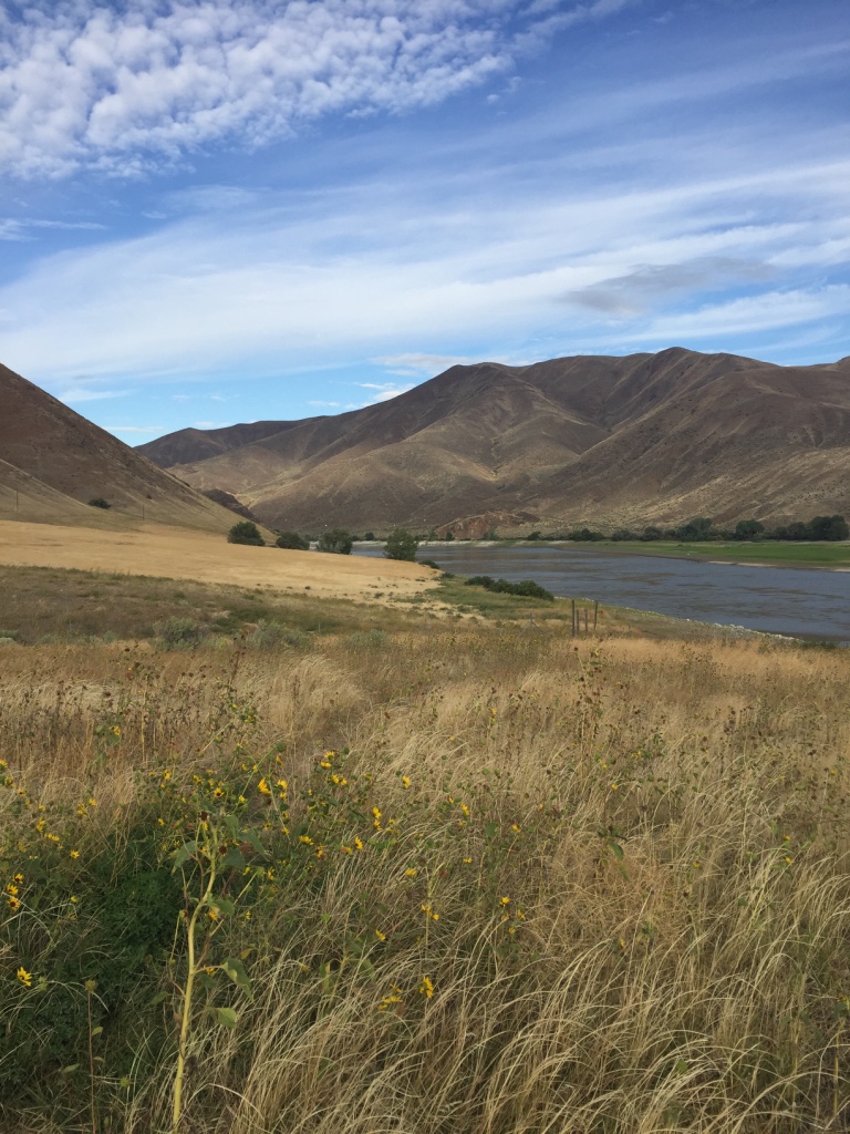
Flathead Lake in Montana, is the largest natural fresh water lake west of the Mississippi in the lower forty-eight. It has about 185 miles of shore-line.

It is named for the Salish (Flathead) Indians, whose Tribal Land is at the south end of the lake.
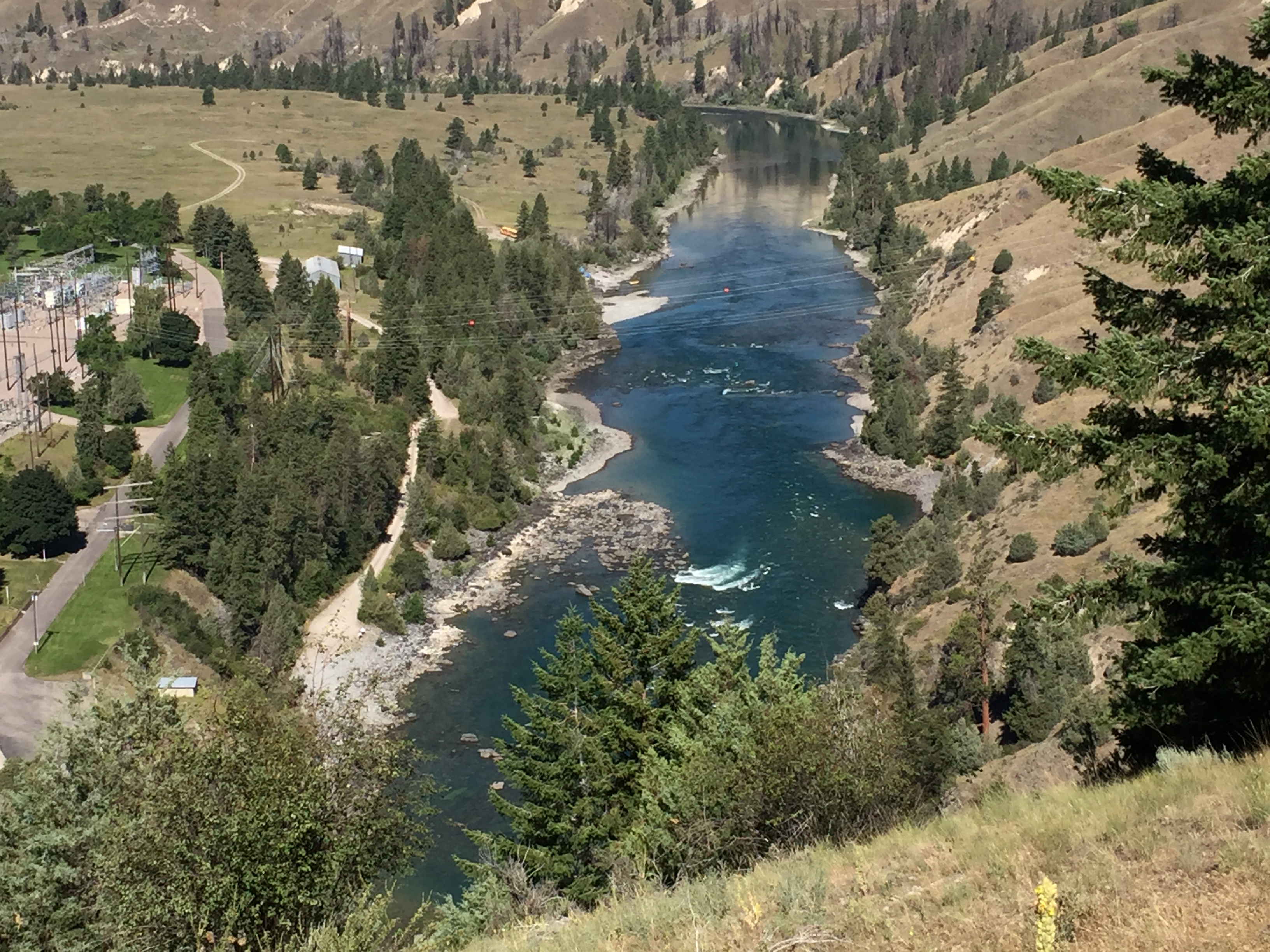
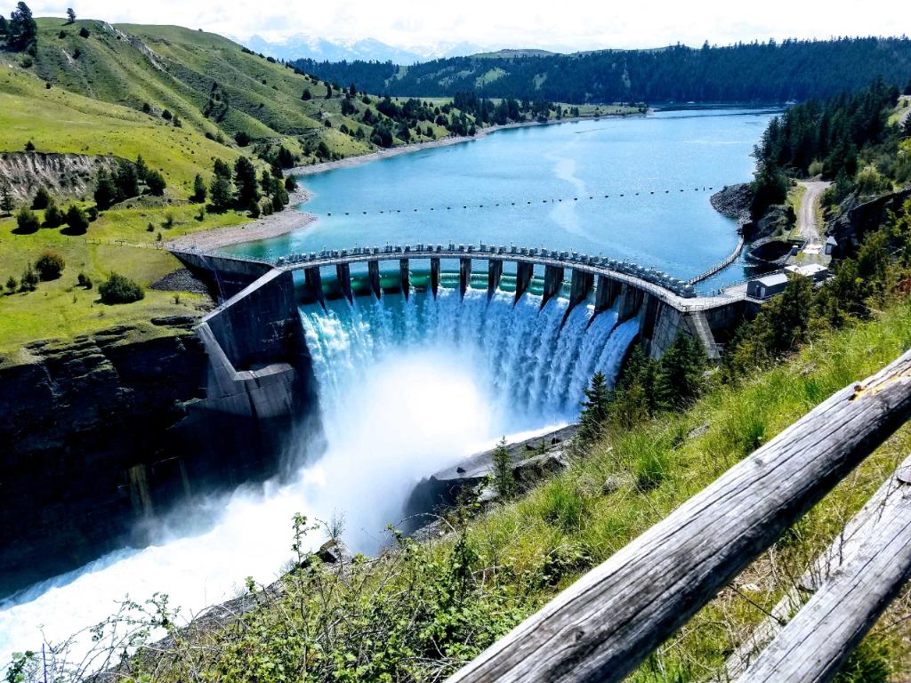
The glacial damming of the Flathead River formed Flathead Lake. The Kerr Dam near Polson, provides power and irrigation to the area.

Today The Kerr Dam provides electricity to approximately 125,000 homes, and is a major source of revenue to the Salish and Kootenai tribes, as it resides on Tribal property.

The Happy Hippo is a military grade amphibious vehicle from the Vietnam era. Captain Bob proudly motors his guests about, to show off some of the highlights of the town he loves…
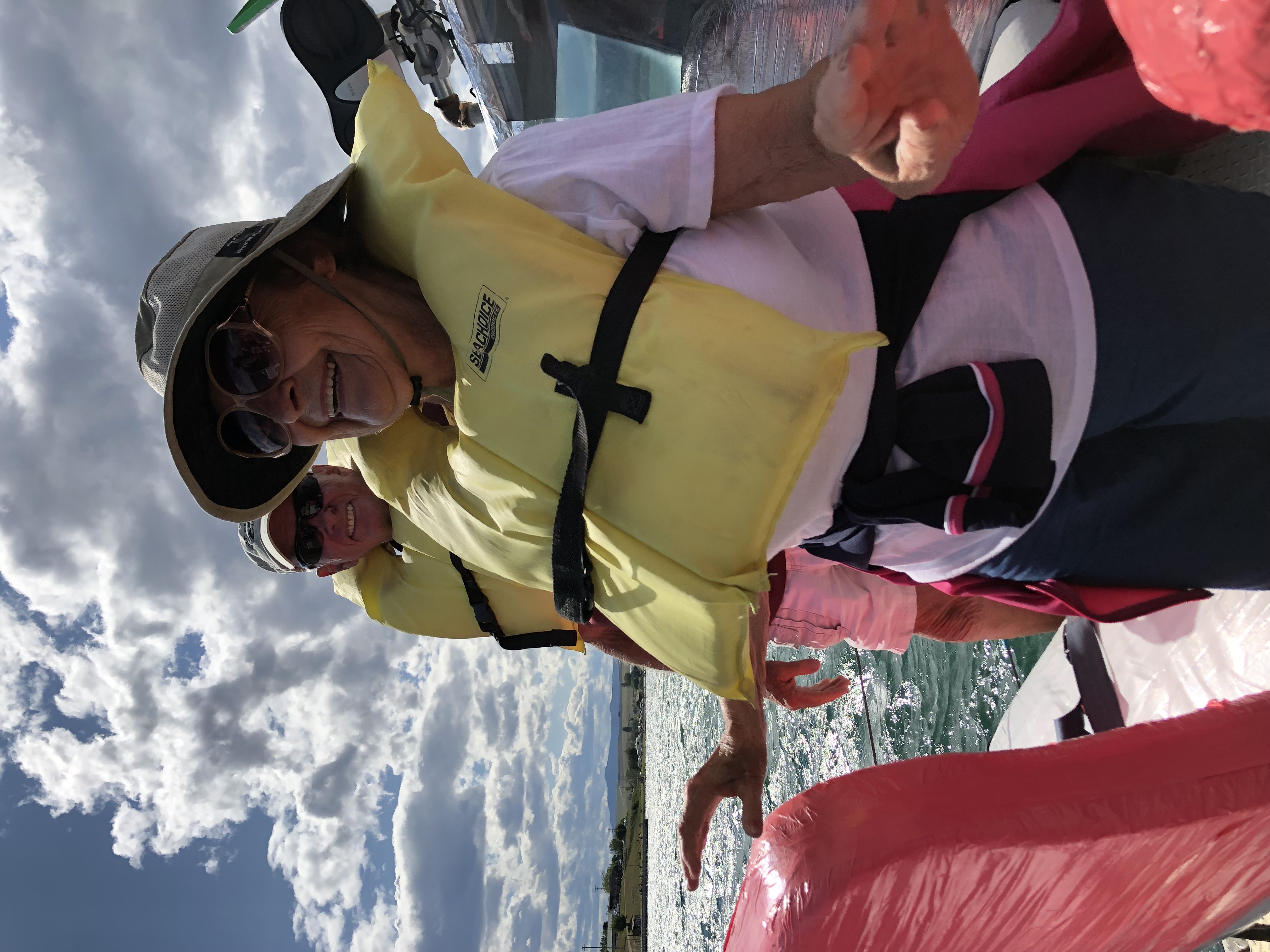
And then; he drives right out onto the lake for a very fun water adventure!

When the notion strikes Captain Bob-
VIP’s are treated to his first love… music!
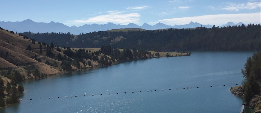
Since Flathead Lake lacks the nutrients necessary to promote algae growth, this body of water has become world famous for its clarity.

Its maximum depth is about 371 feet.
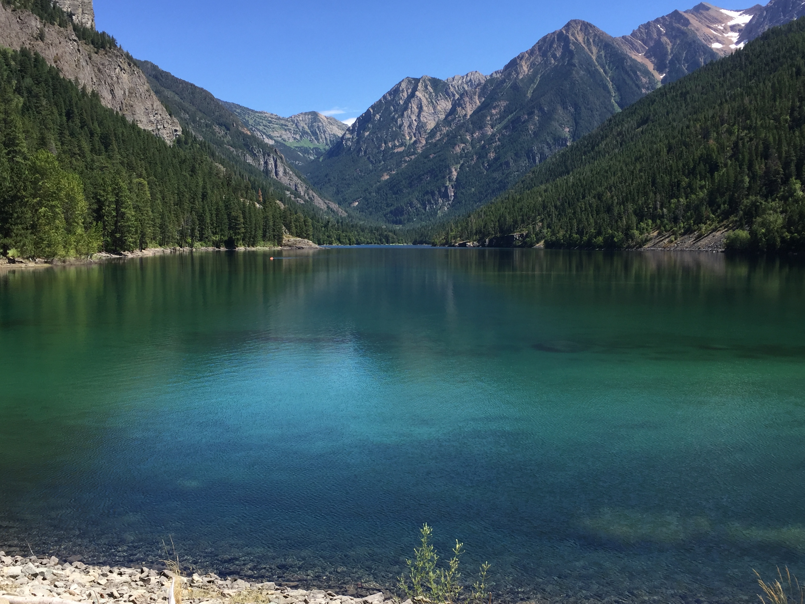
This beautiful oasis is:
McDonald Lake.
It is located in the Mission Mountains. And is also on Tribal Land.
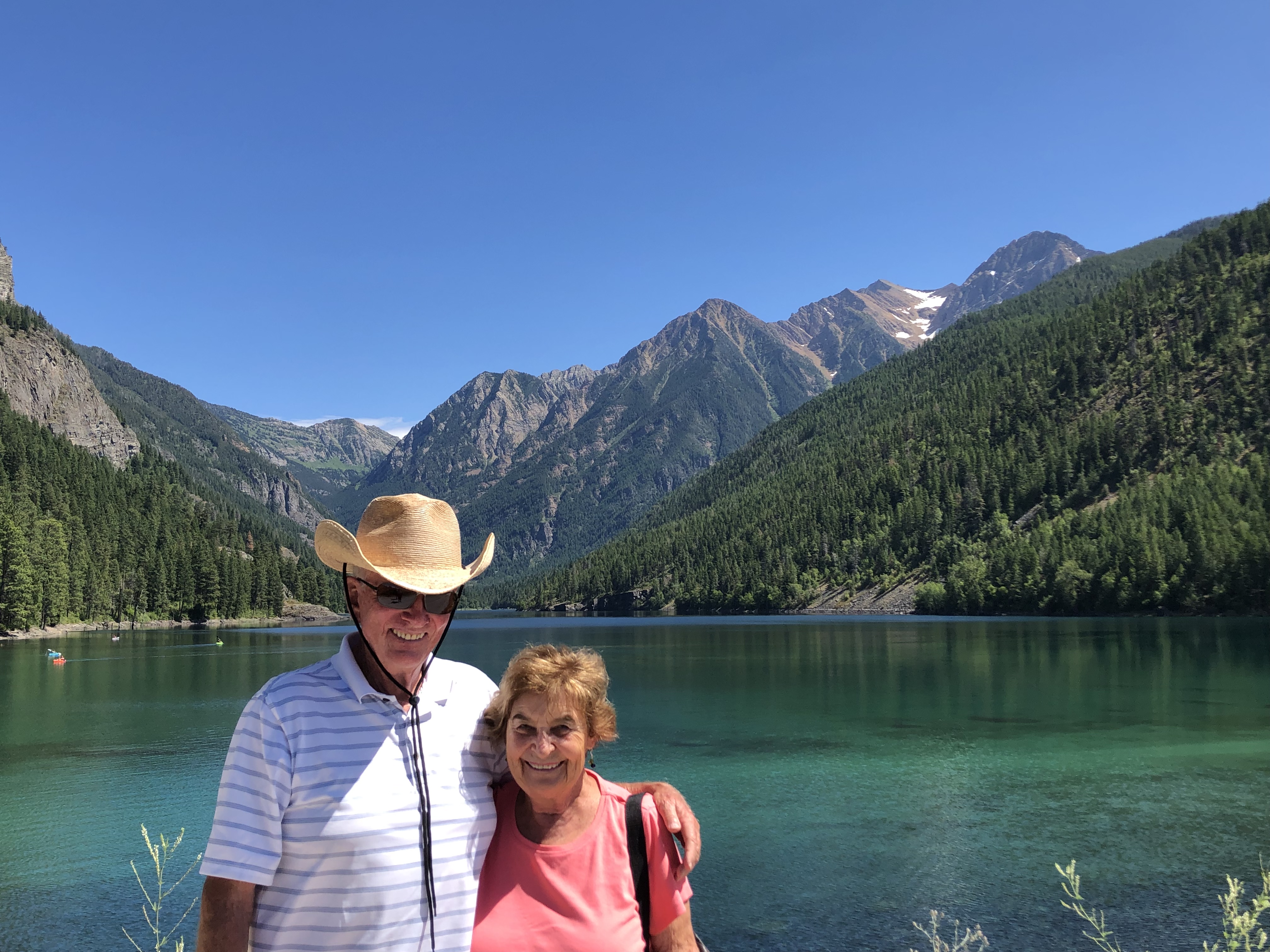

A perfect place to celebrate our namesake.
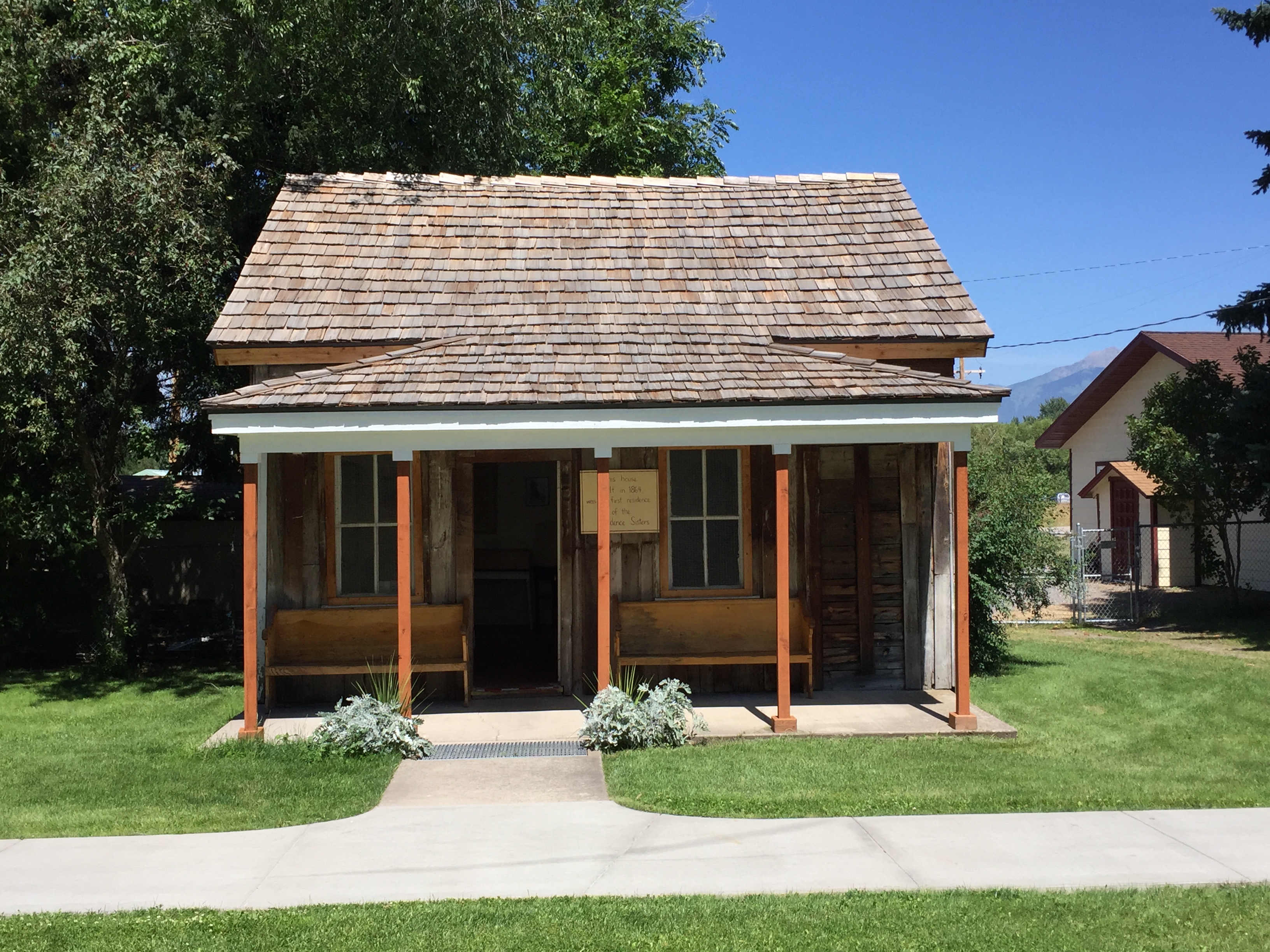
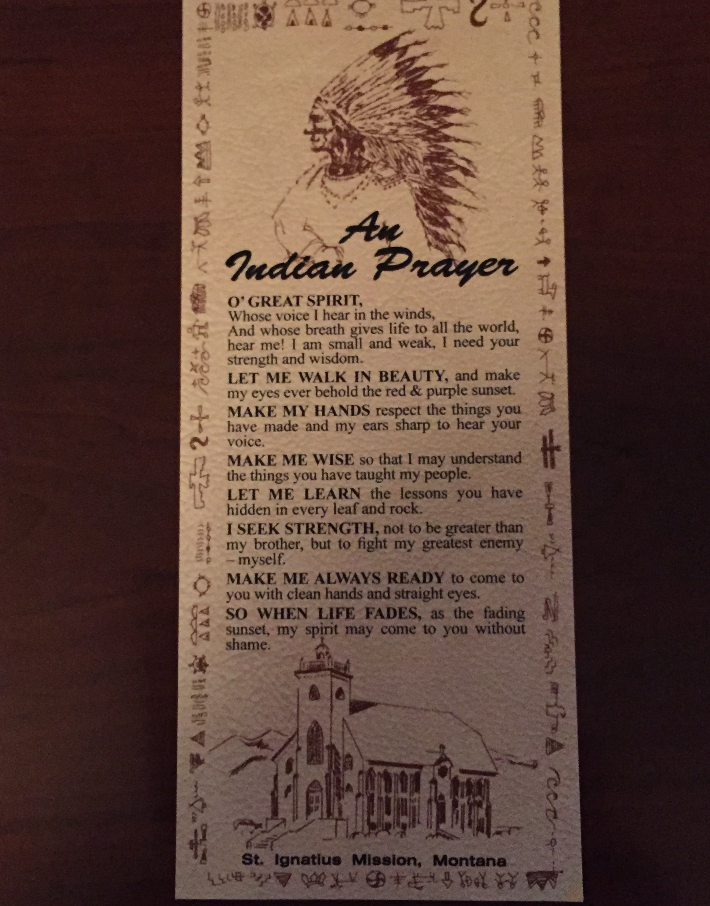
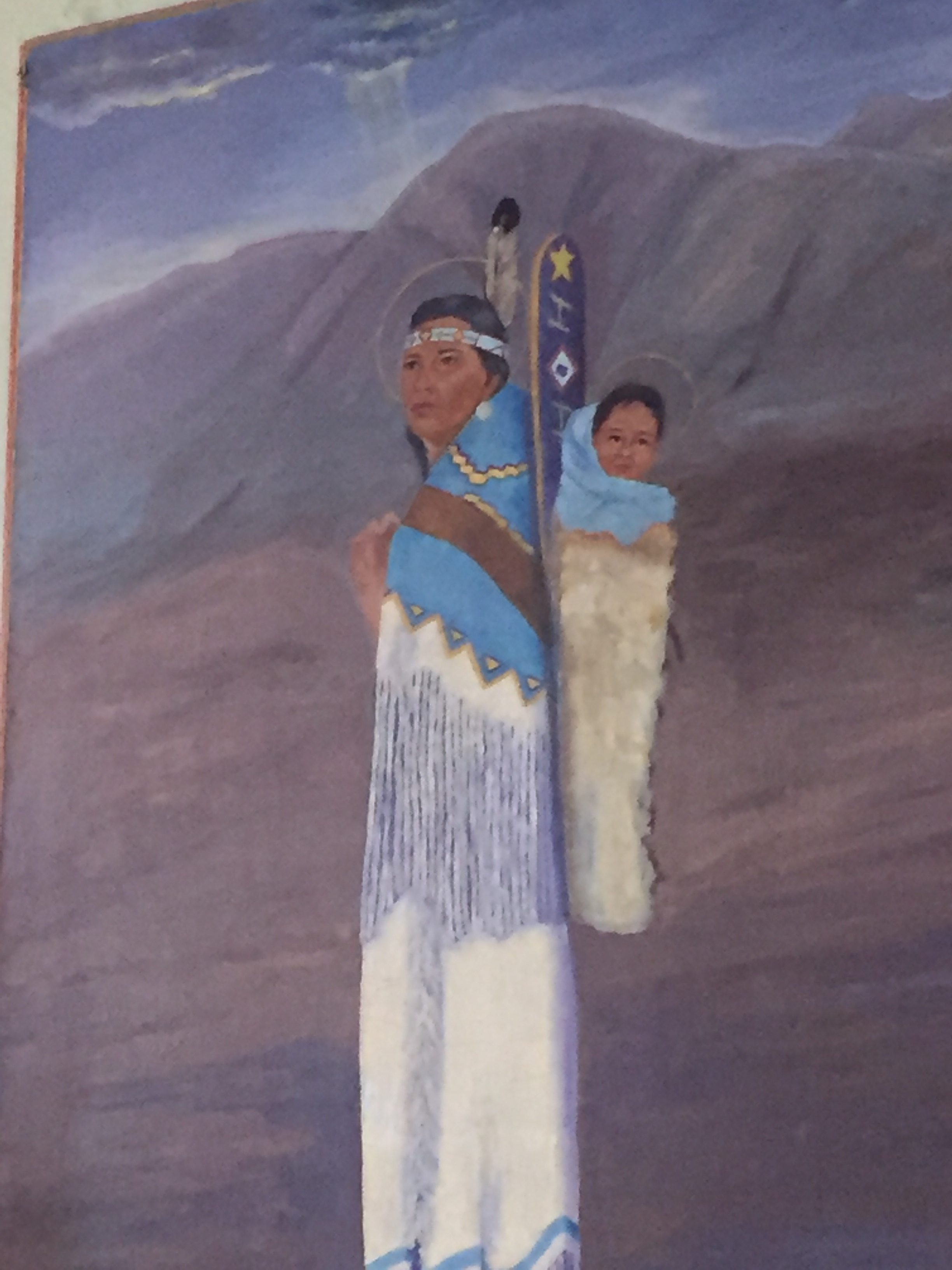
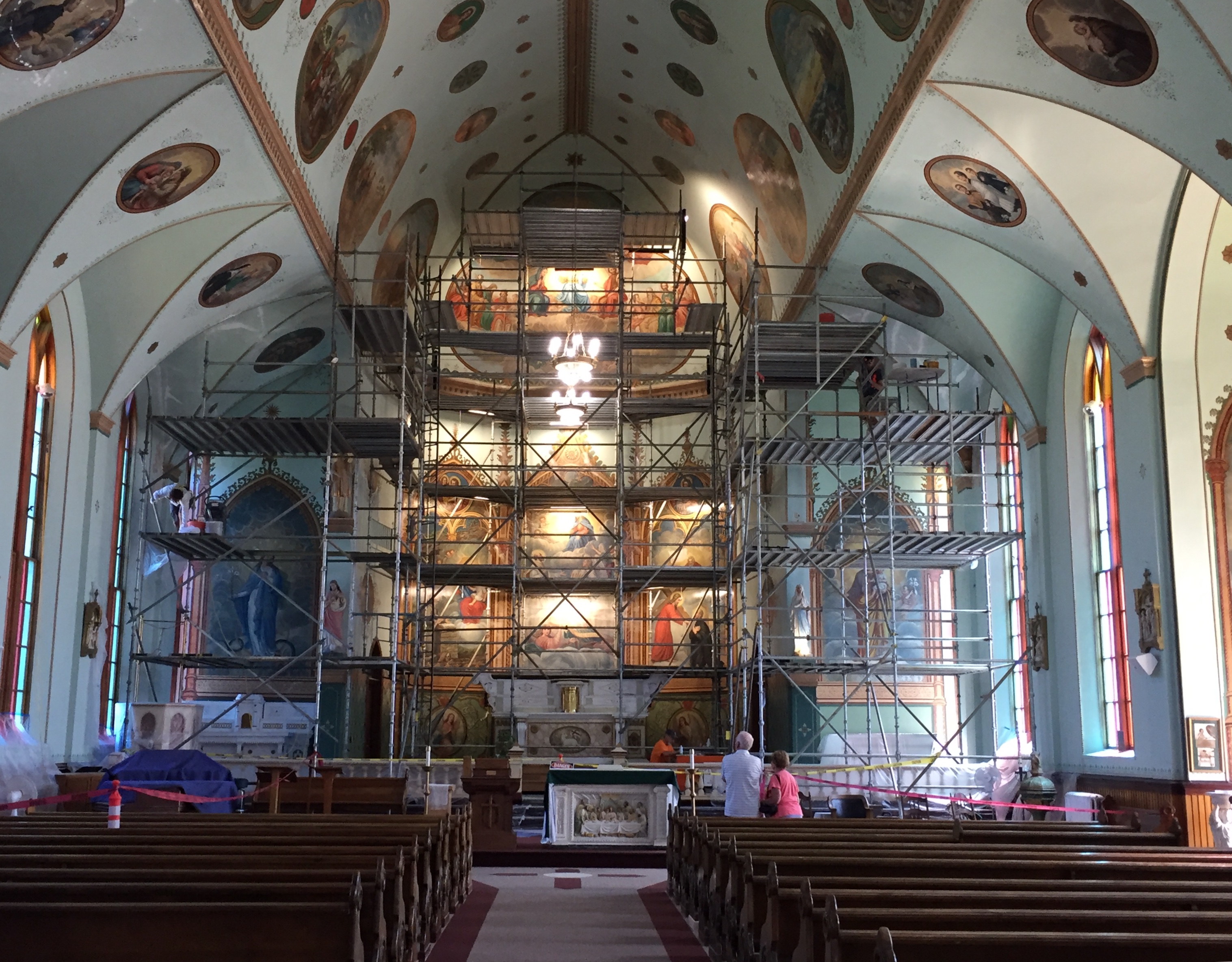
A short ride from Polson brought our party to the St. Ignatius Mission.
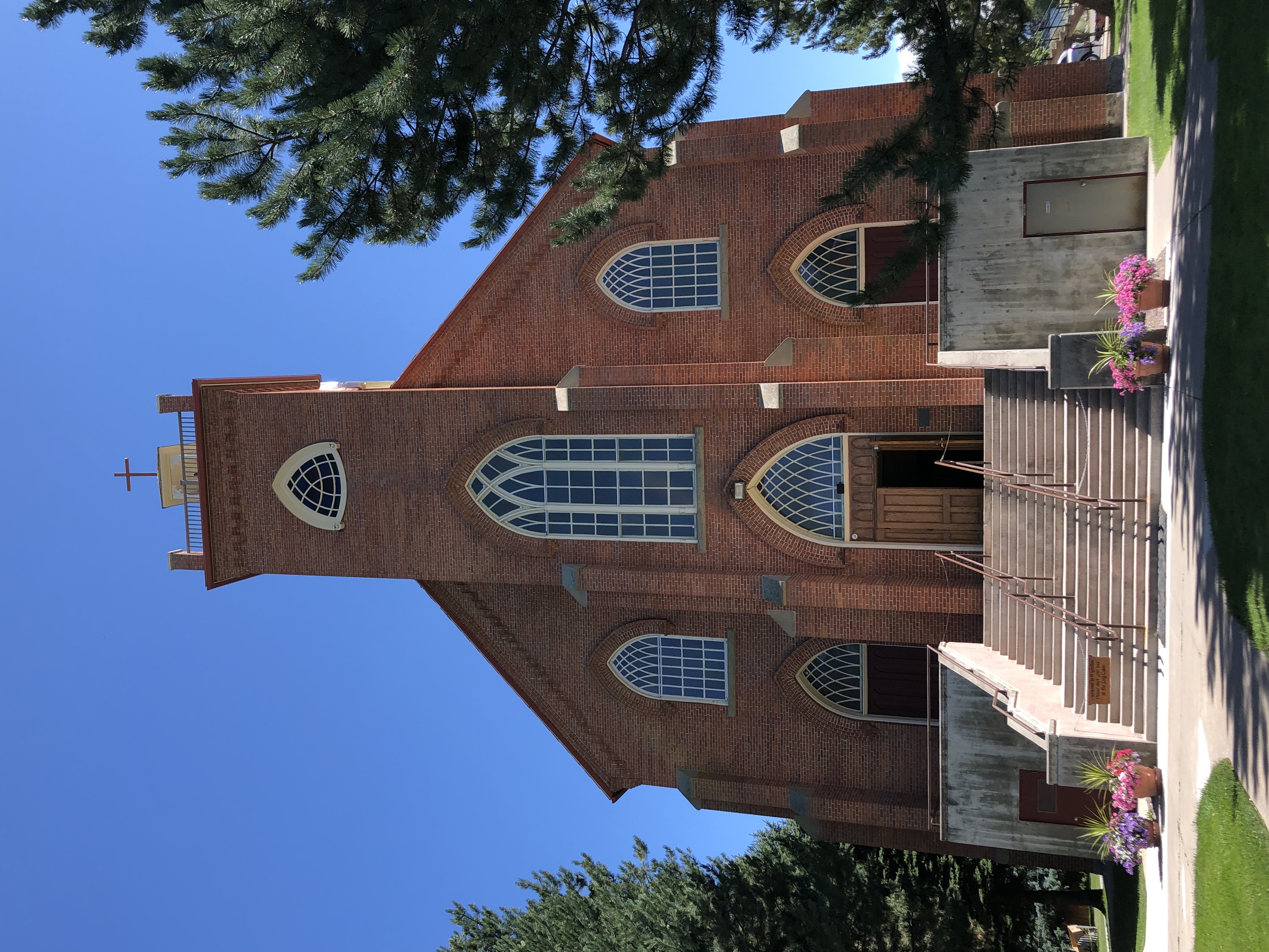
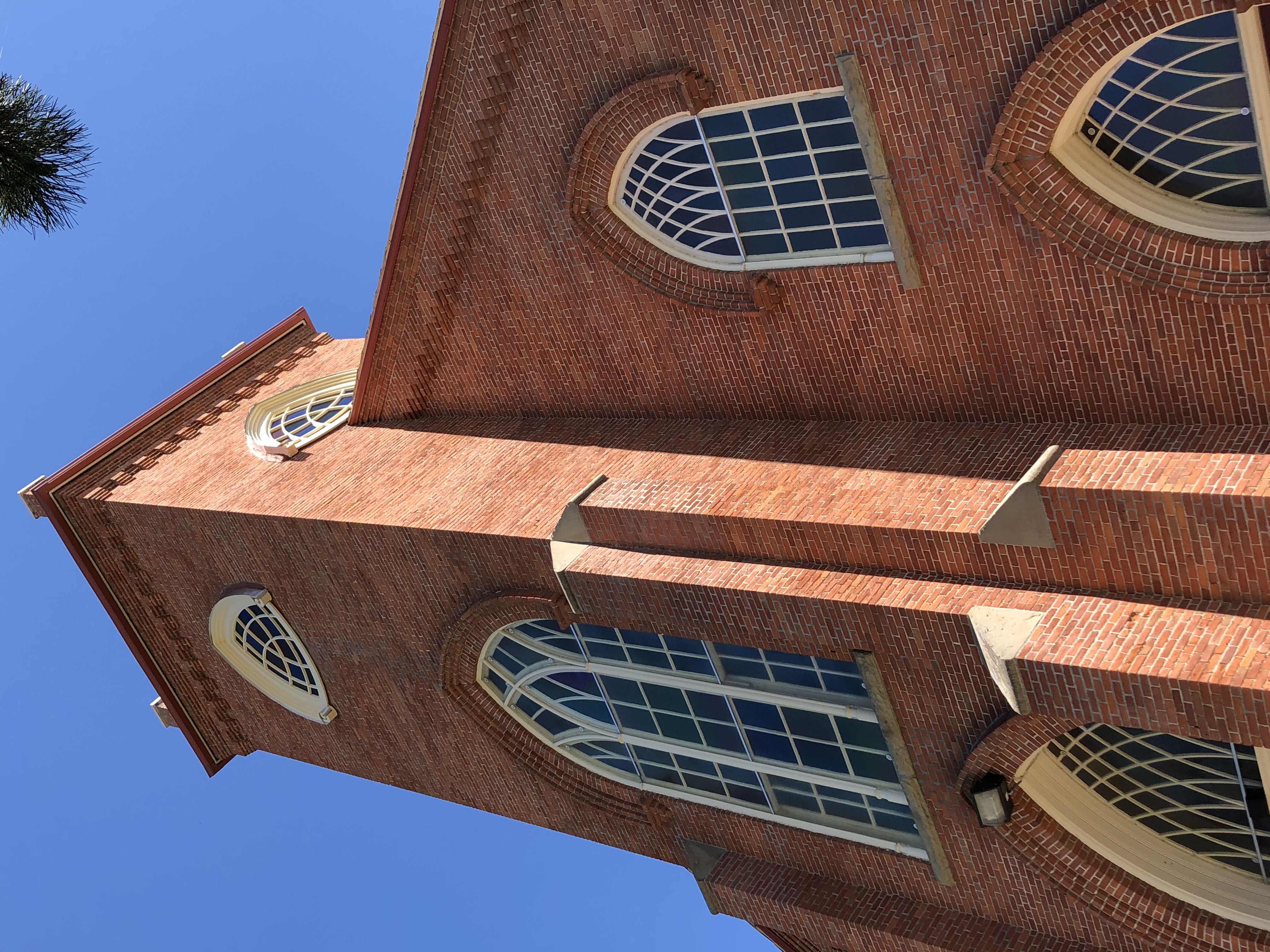
St. Ignatius is located in western Montana about forty miles north of Missoula. It is nicely nestled among the mountains and hills of the Mission Valley.
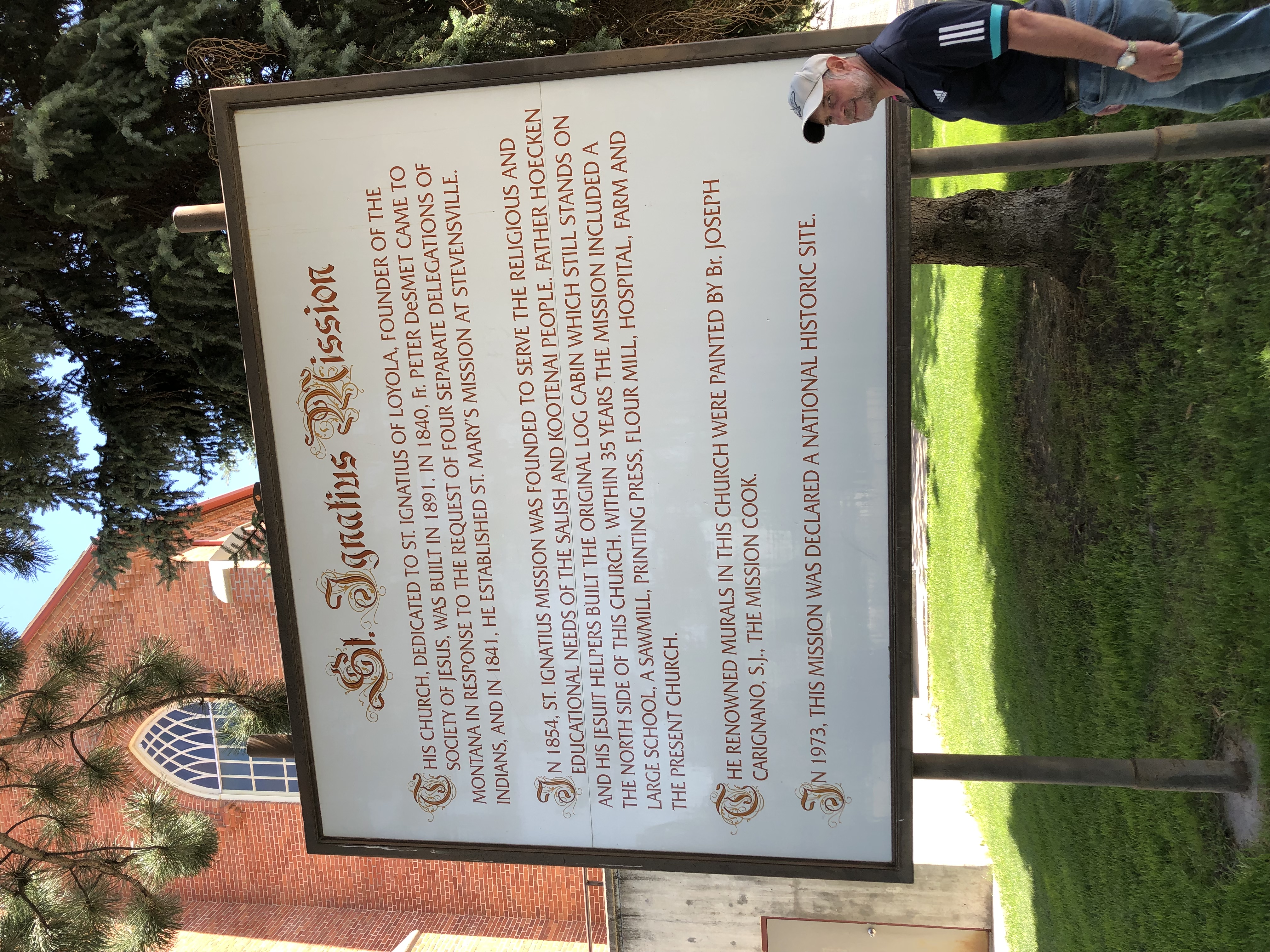
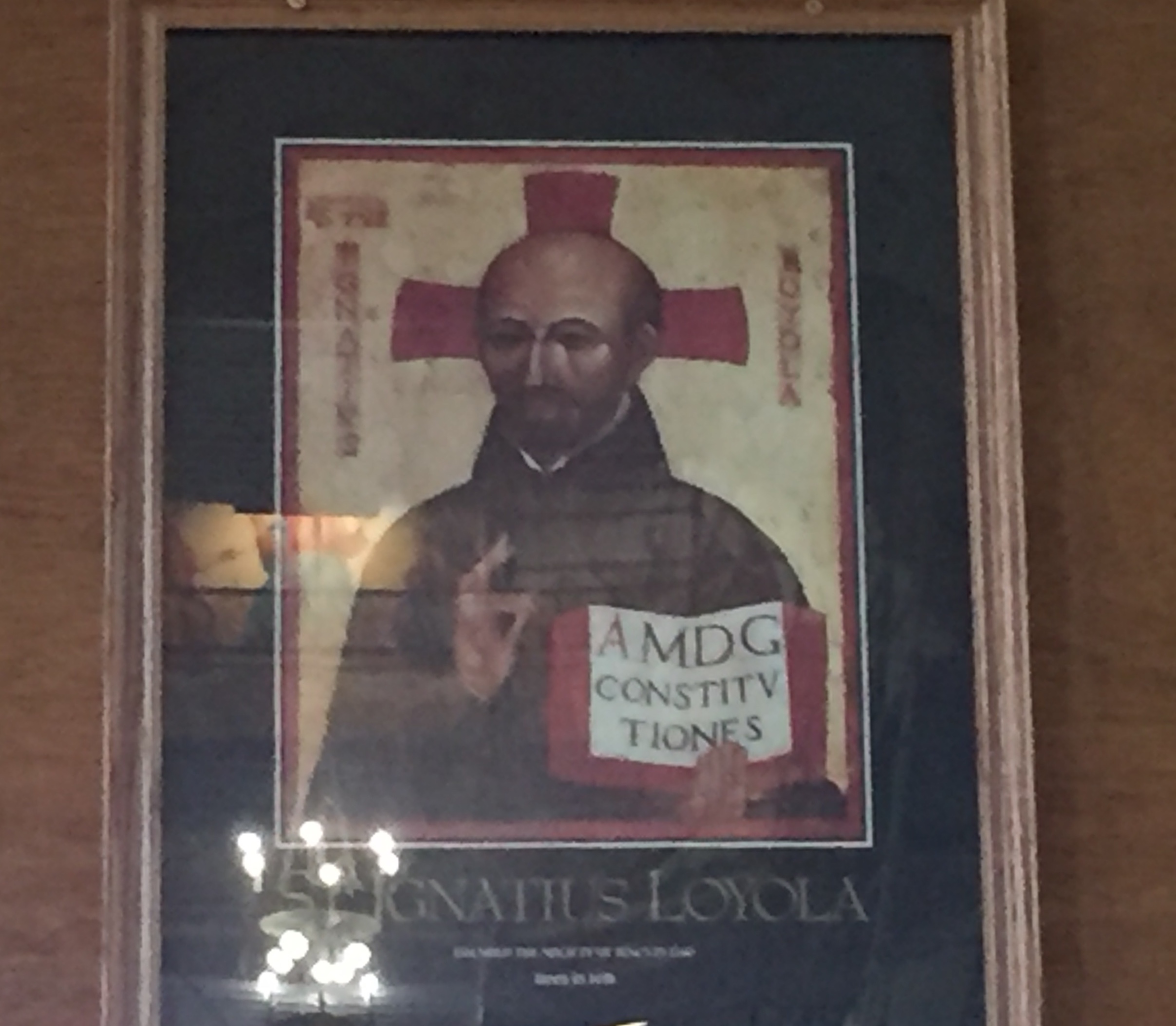
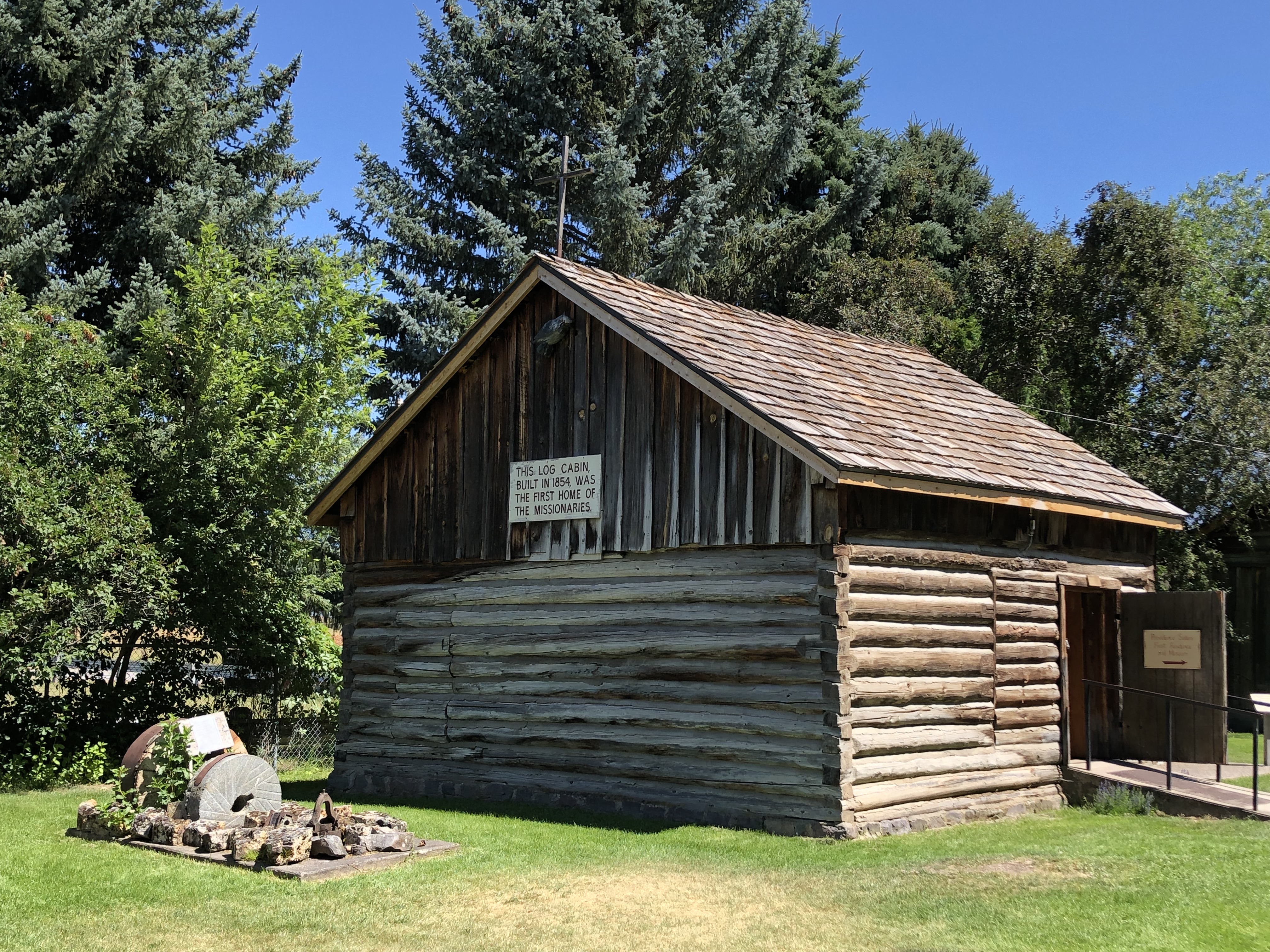
The St. Ignatius Mission, and the town that grew up around it, was founded in 1854. It is named for St. Ignatius of Loyola, the co-founder of The Society of Jesus. (The Jesuits)
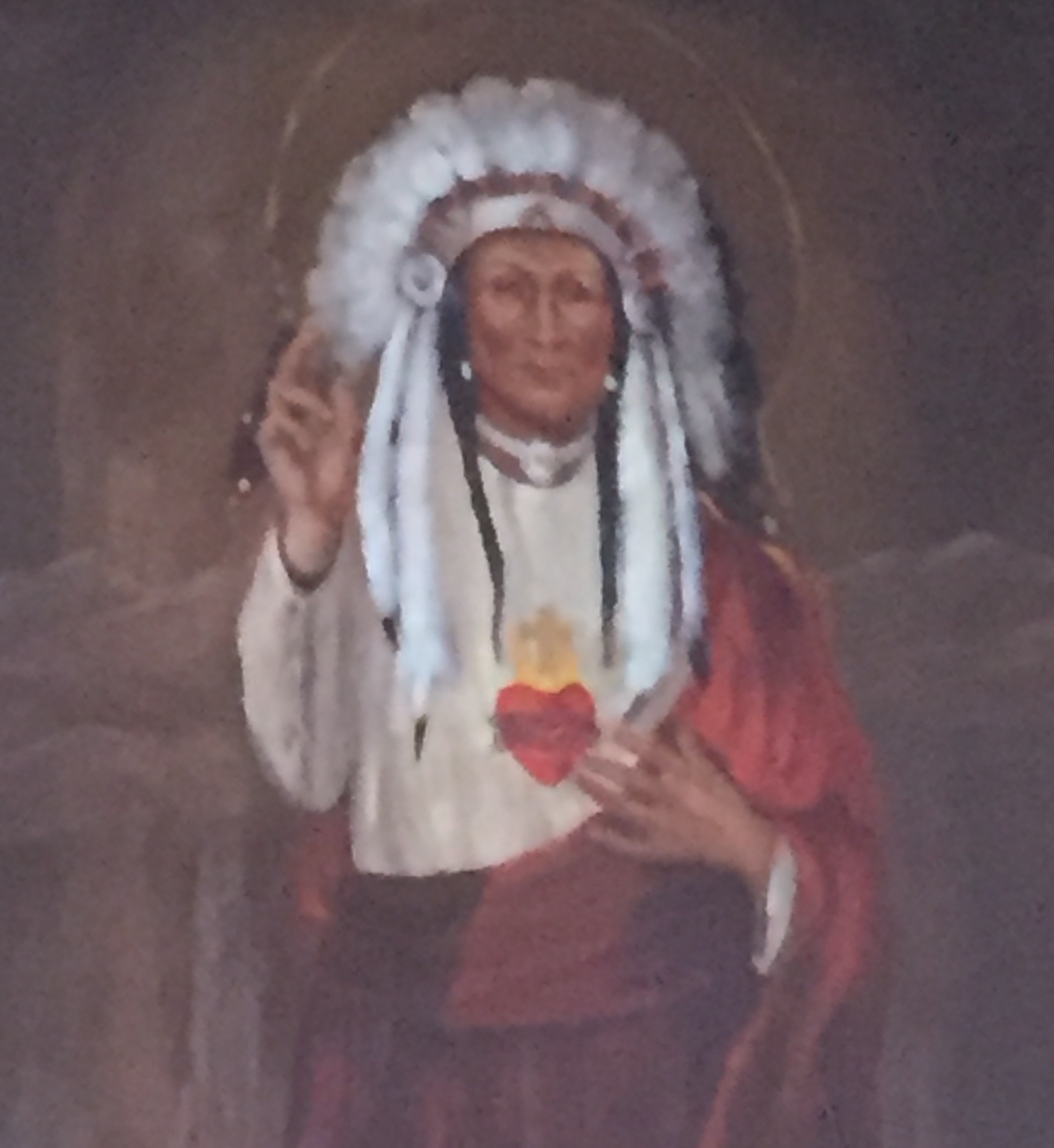
But the story of this mission in Montana begins long before 1854. It begins with a faithful French Canadian Trapper/Trader. His name, Old Ignace La Mouse.
La Mouse grew up near Montreal Canada, among the Iroquois Confederacy of Tribes. Many of these Indian fur trappers came to faith through the earlier work of Canadian missionaries.
 Ignace La Mouse likely became a Christian through the influence of these Iroquois Catholics.
The fur-trading expeditions of Old Ignace eventually led him, and twenty-three Canadian Iroquois to settle in Montana.

Ignace and his band of trappers were welcomed by the Montana Indians, and began to marry into the Flathead tribe. These Catholic Iroquois became witnesses of Jesus Christ to the Flathead Indians.
Thanks to the ministry of Old Ignace, the Flatheads learned the Sign of the Cross-, several Christian prayers and to keep the Lord’s Day Holy.
As time passed, The Flatheads and the Iroquois both desired to learn more about Jesus Christ.
In the spring of 1831, a delegation of four Flathead Indians set off for St. Louis in an attempt to secure some missionaries for their people. They arrived in October 1831, but the language barrier and the eventual death of all four men made this attempt unsuccessful.
In 1835, Ignace and two of his sons journeyed to St. Louis to again secure some priests for their people. But the Jesuits in St. Louis were poor, struggling and few in numbers.
In 1837, Old Ignace accompanied by a Nez Perce Chief and three Flatheads set out once again for St. Louis.
But they were attacked and killed by a renegade band of Sioux on the North Platte River near Fort Laramie in Nebraska.
It was not until a fourth journey was made in 1839, that their task to bring a teacher West to their people, was successful. This two-man delegation met with Jesuit Father Peter DeSmet at Council Bluffs, Iowa. Father DeSmet began his work among the Flatheads in 1840.
St Mary’s, the first Jesuit mission in Montana, was established in 1841 on the Bitter Root River, in the present town of Stevensville.
In the spring of 1845, the first Mission of St. Ignatius was established on the Washington-Idaho border, before being moved to its present site in 1854.
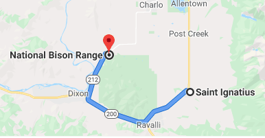
Just over the hills to the Northwest…

Oh give me a home…
Where the Buffalo roam.

Buffalo?
Buffalo?
Did you say Buffalo? 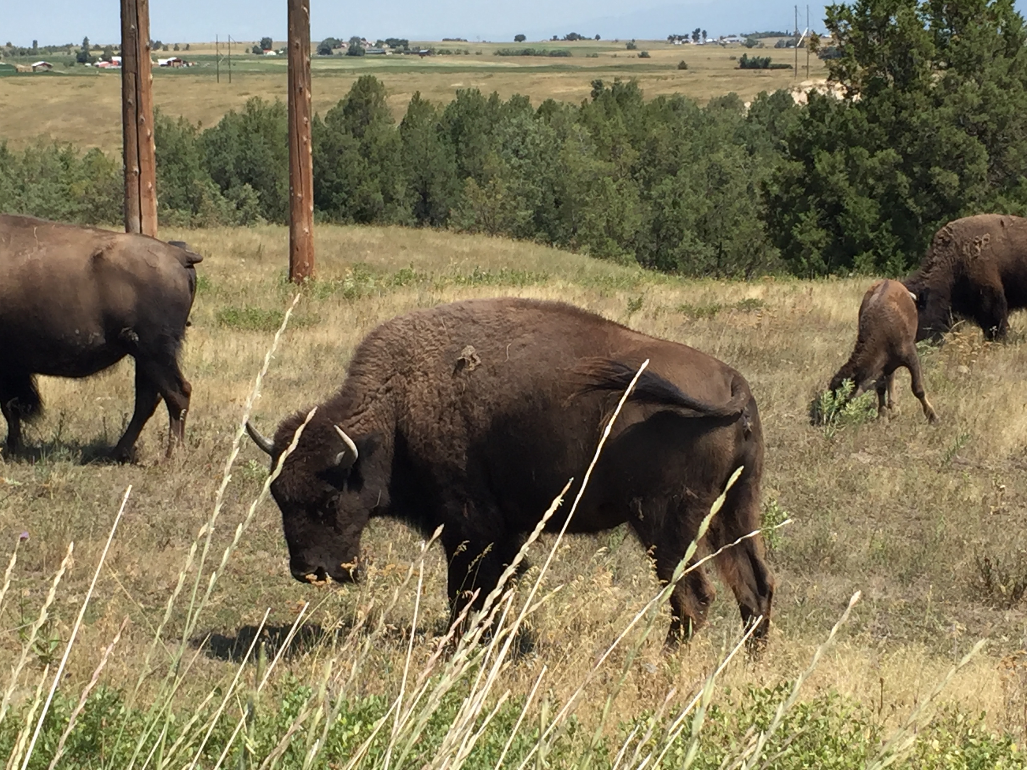
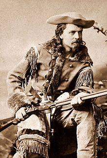
Well now, where is Buffalo Bill Cody when you need him? He would know, don’t you think?
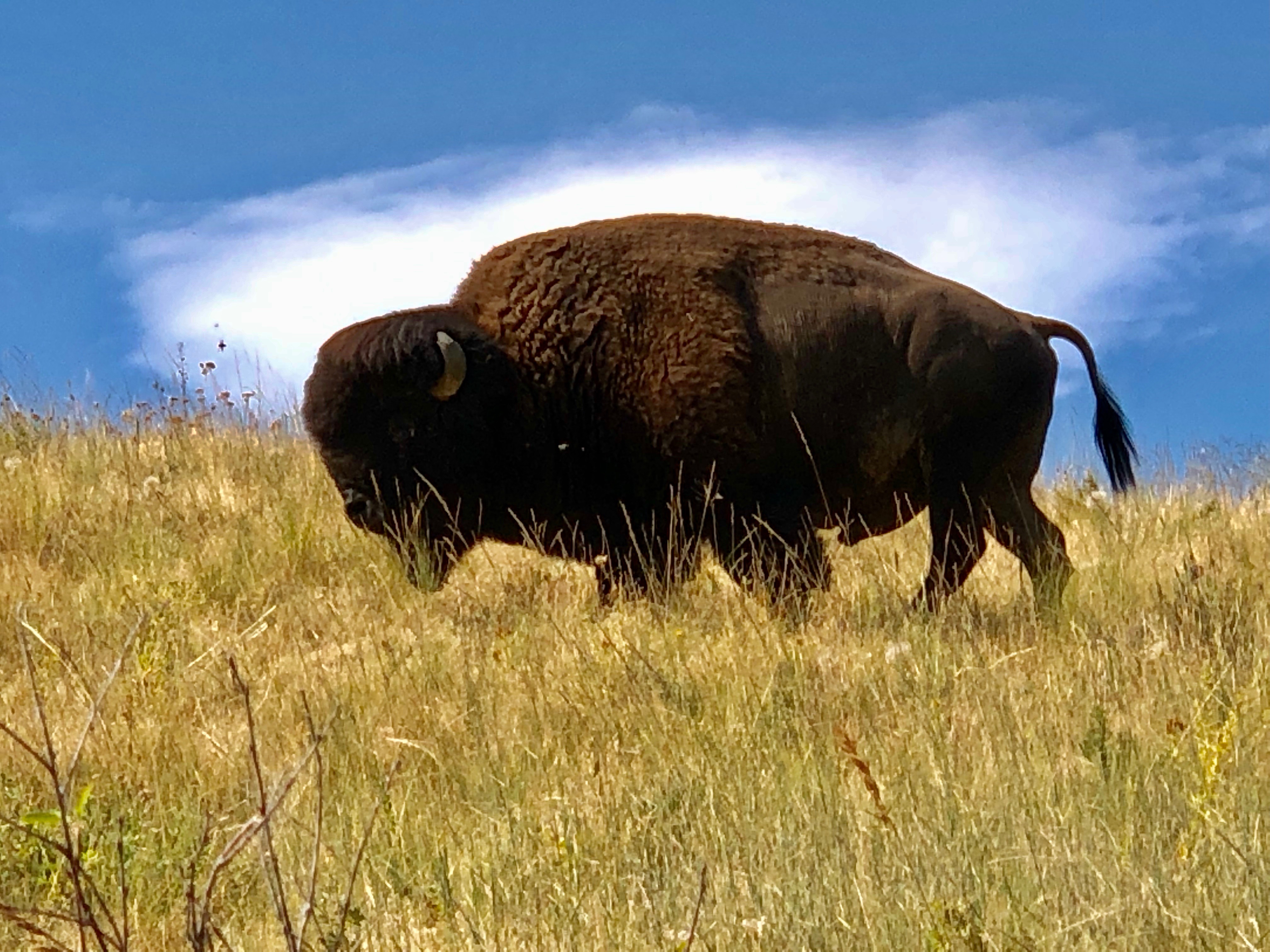
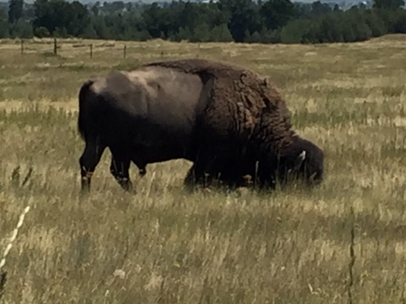
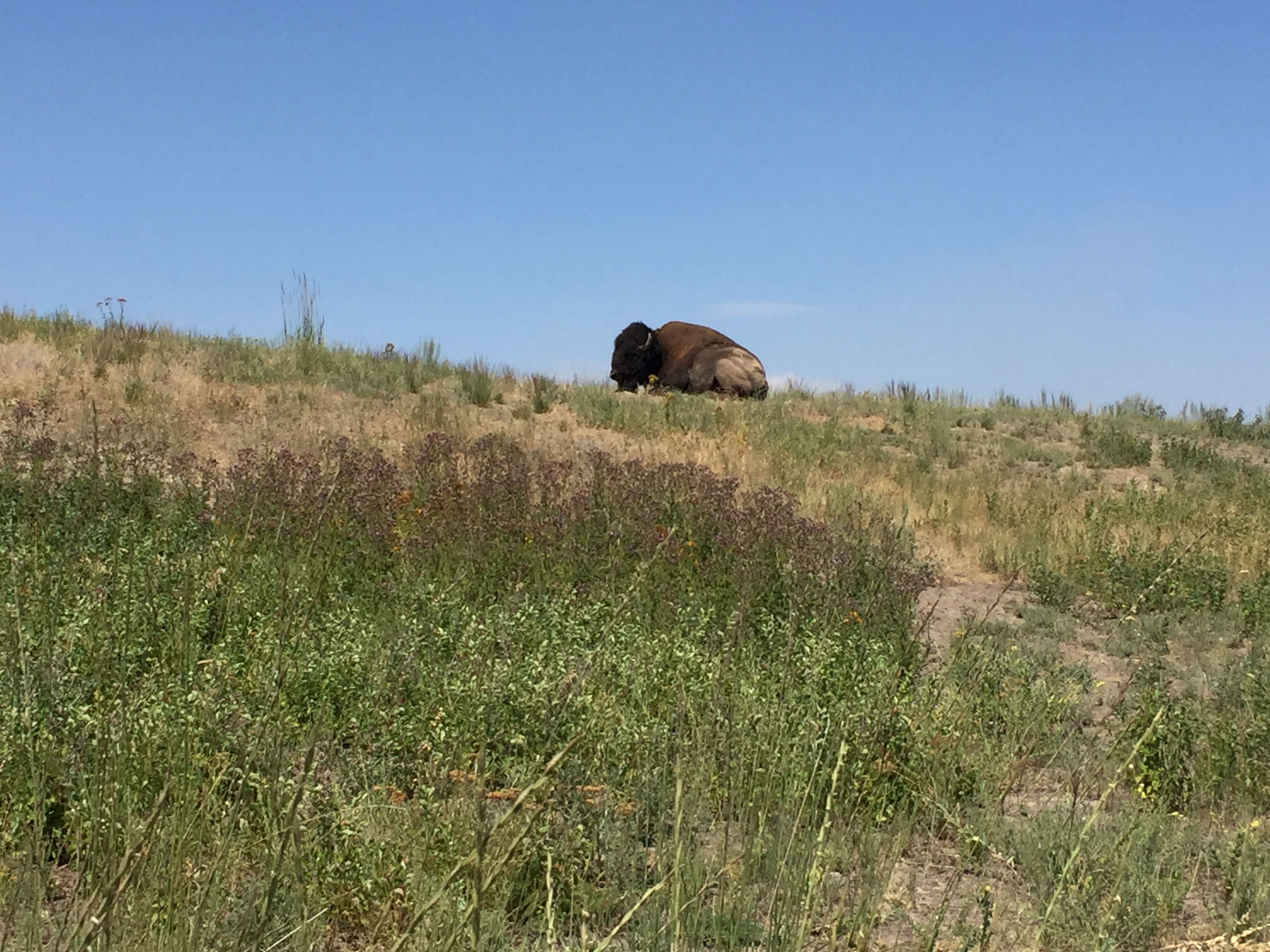
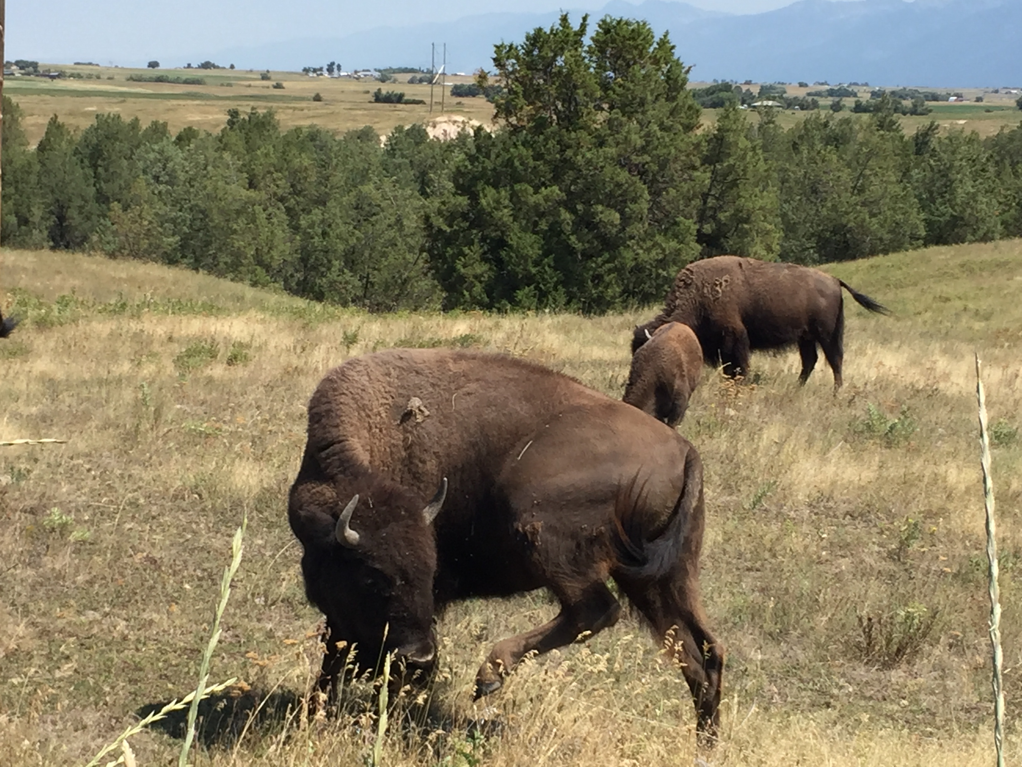
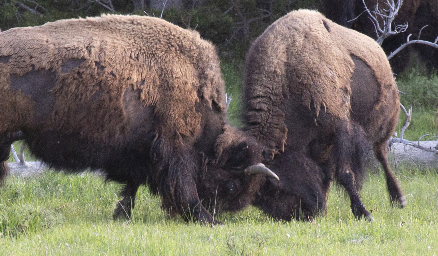
Turns out, these gigantic critters are properly called Bison.
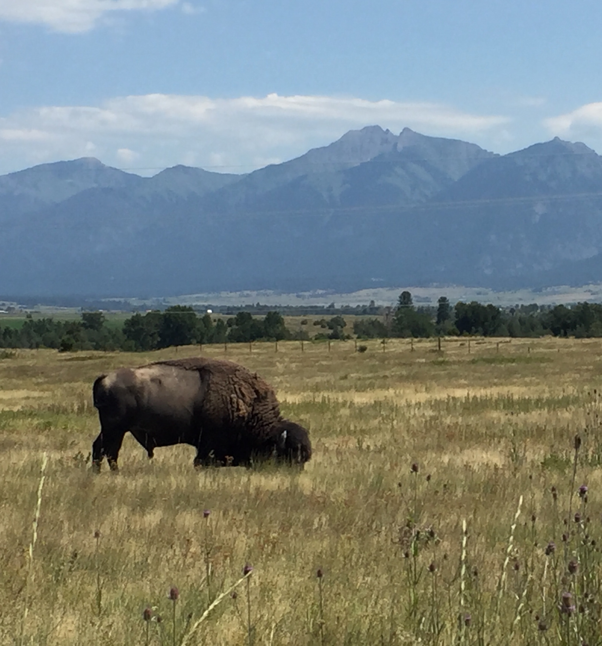
As the story goes, the first explorers to the American West gave them the name Buffalo because these Bison looked similar to the Water Buffalo. Animals the frontiersmen were familiar with.

So for clarity, just to add to the confusion…bison is a Greek word meaning Ox-Like animal.
The term Buffalo originated with French fur trappers who called these mammals Boeufs, also meaning Ox… Go figure.
But I think it is fair to say that even Buffalo Bill would agree that the Asian Water Buffalo and the American Bison are different.
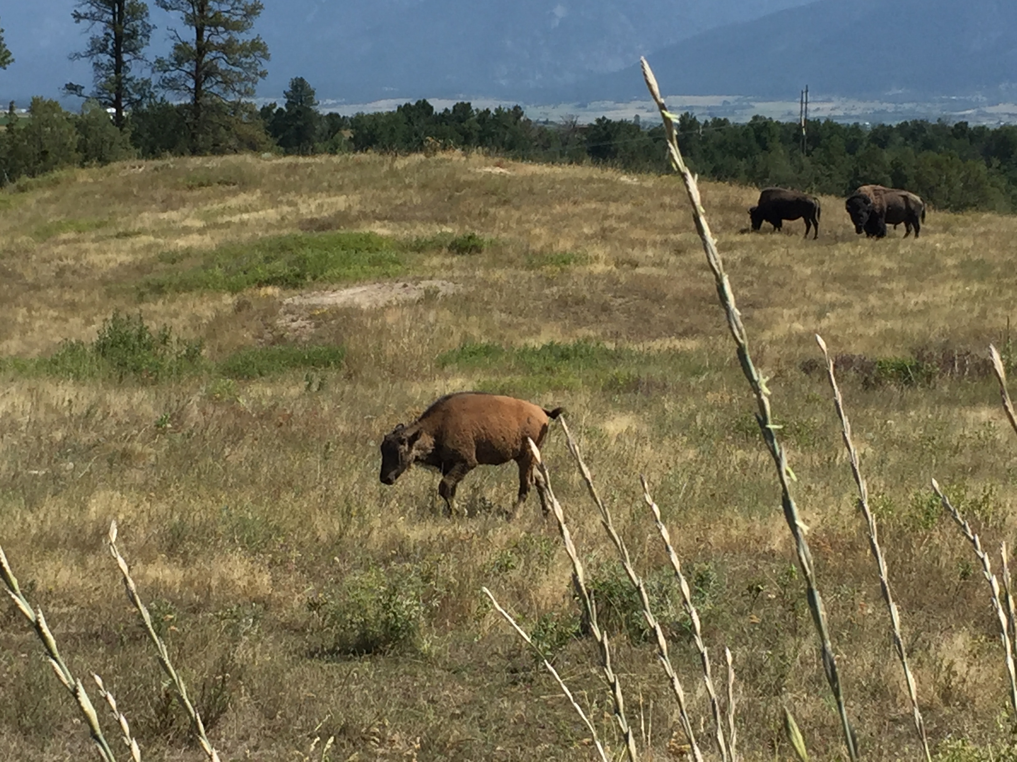
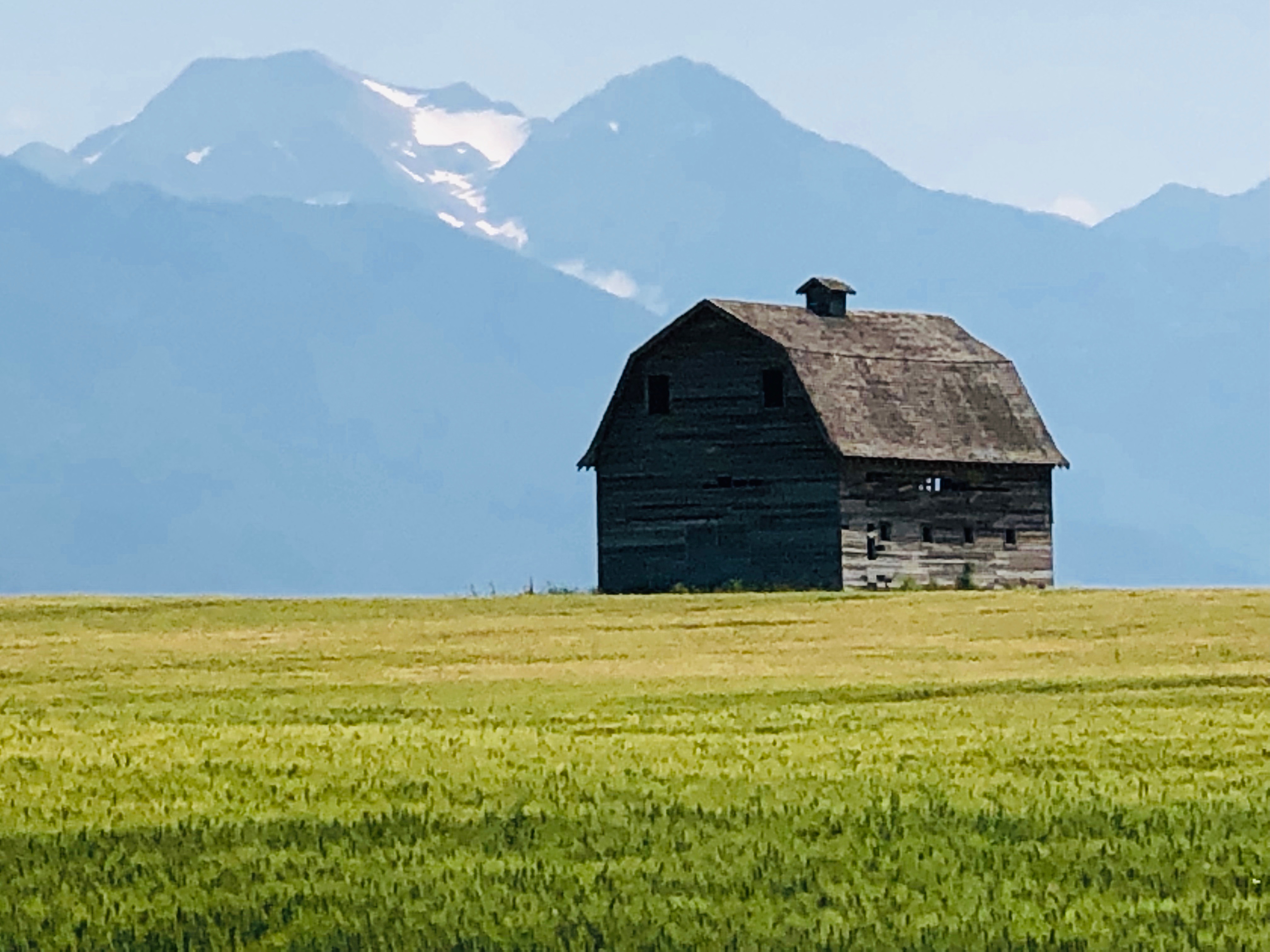
It is believed that the American Bison crossed over a land bridge that once connected the Asian and North American Continents. Estimates of up to 75 Million Bison once roamed in North America.

“The moving multitude…darkened the whole plains”, Lewis and Clark wrote when they encountered a herd at White River, South Dakota in 1806.
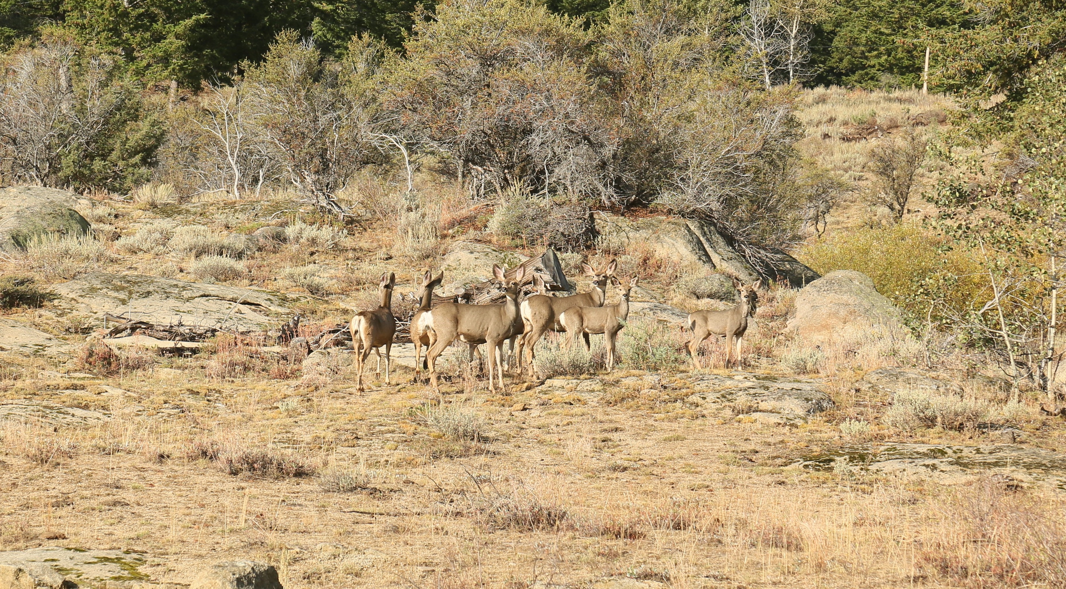
Where the Deer…
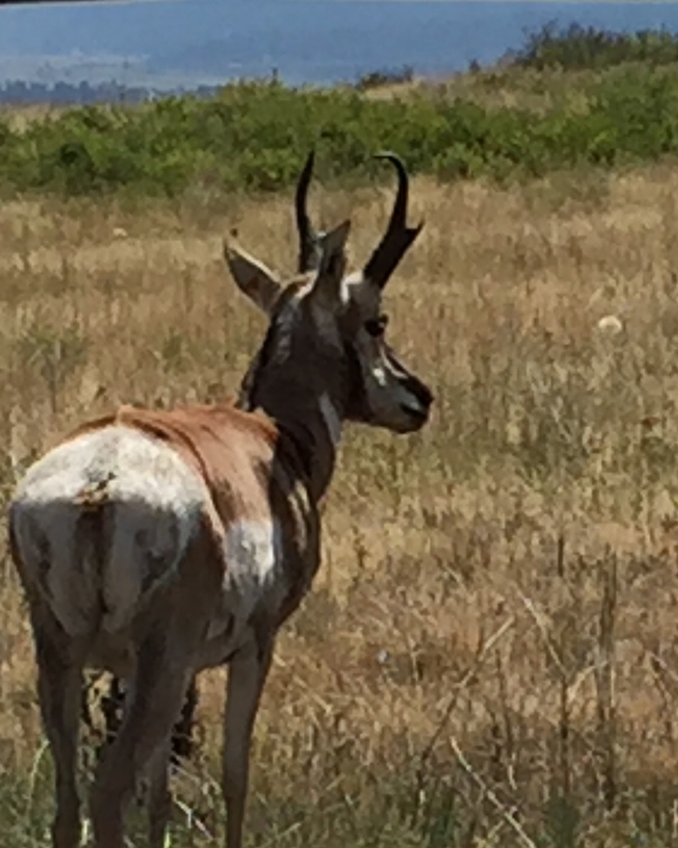
And the Antelope play all across our American west…
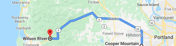
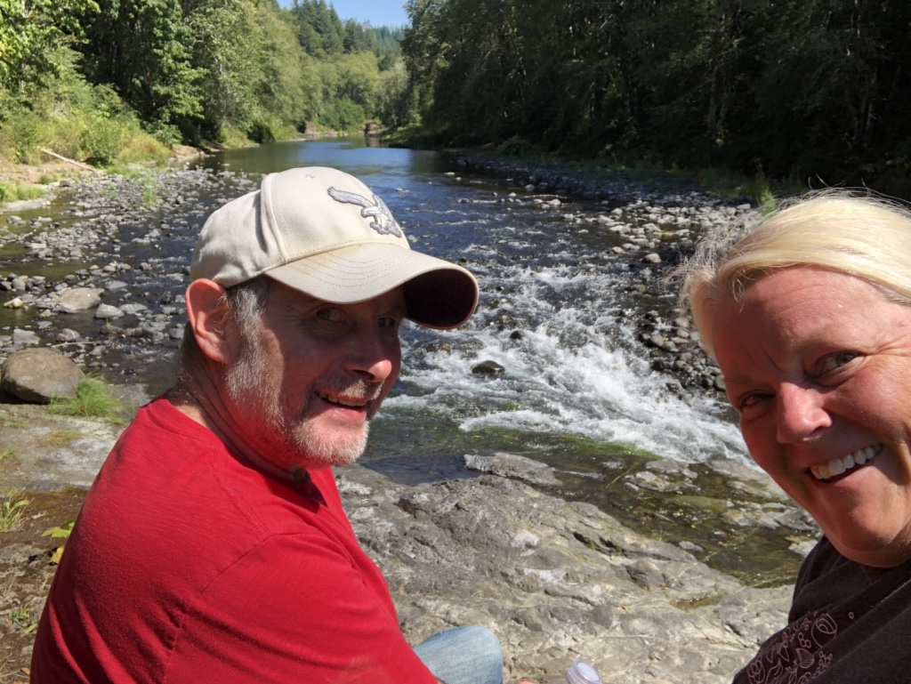
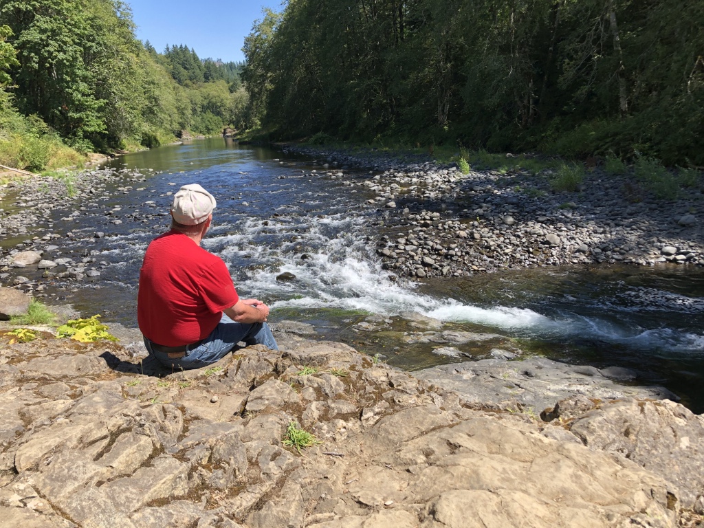
The Wilson River
August 2019
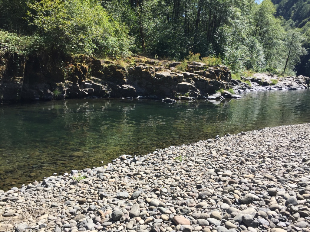
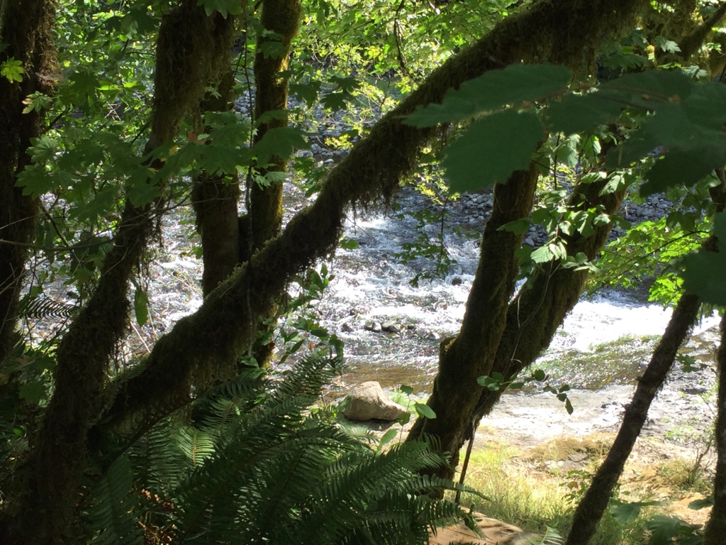
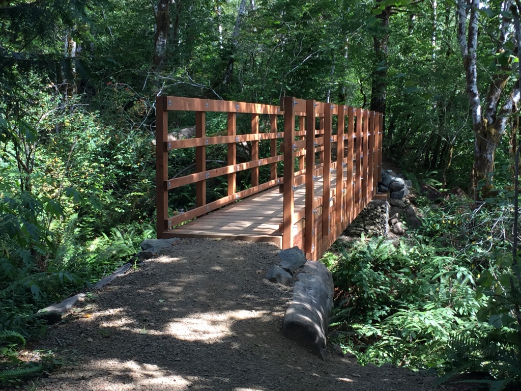
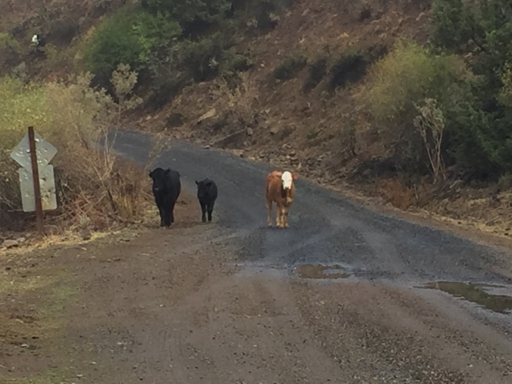
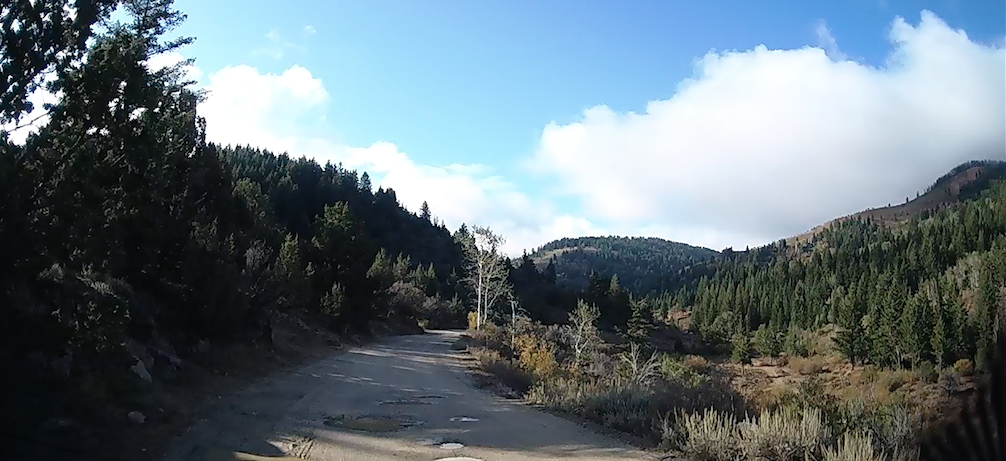
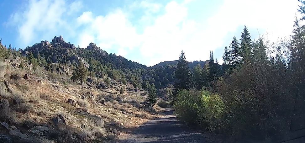
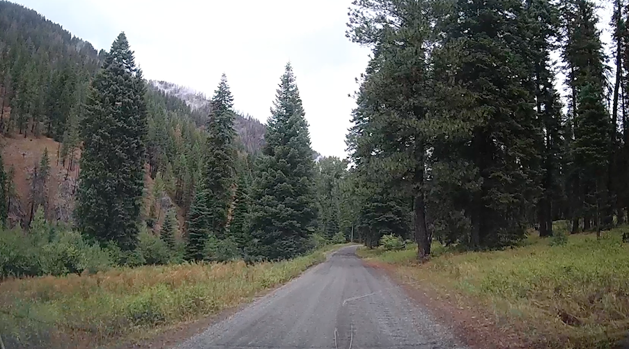
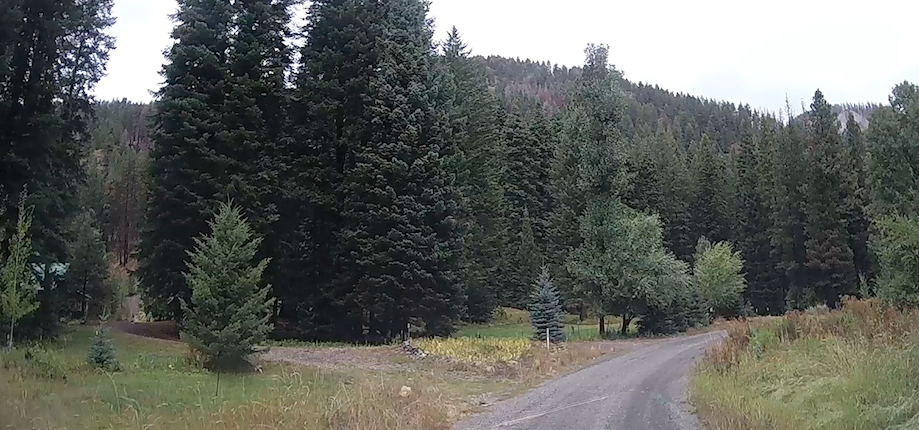
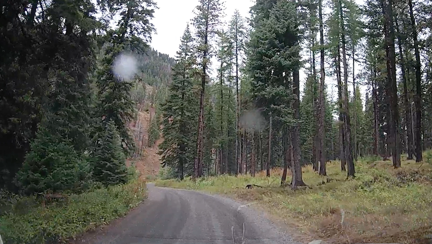
Not far from our place on Cooper Mountain is the Wilson River. The Wilson navigates through the Coast Range until it finds its way to the Tillamook Bay.
Well, we hitched up the team…
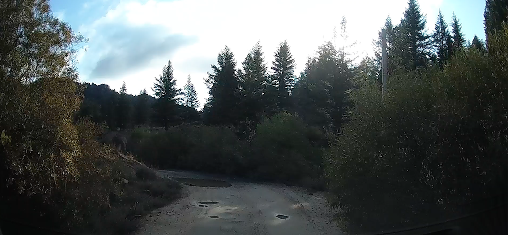
…and drove as far as we could go.

And then we had to walk.


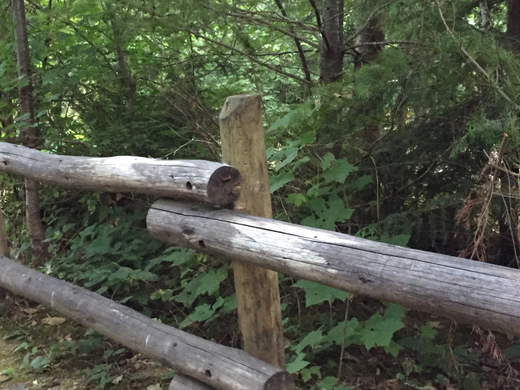
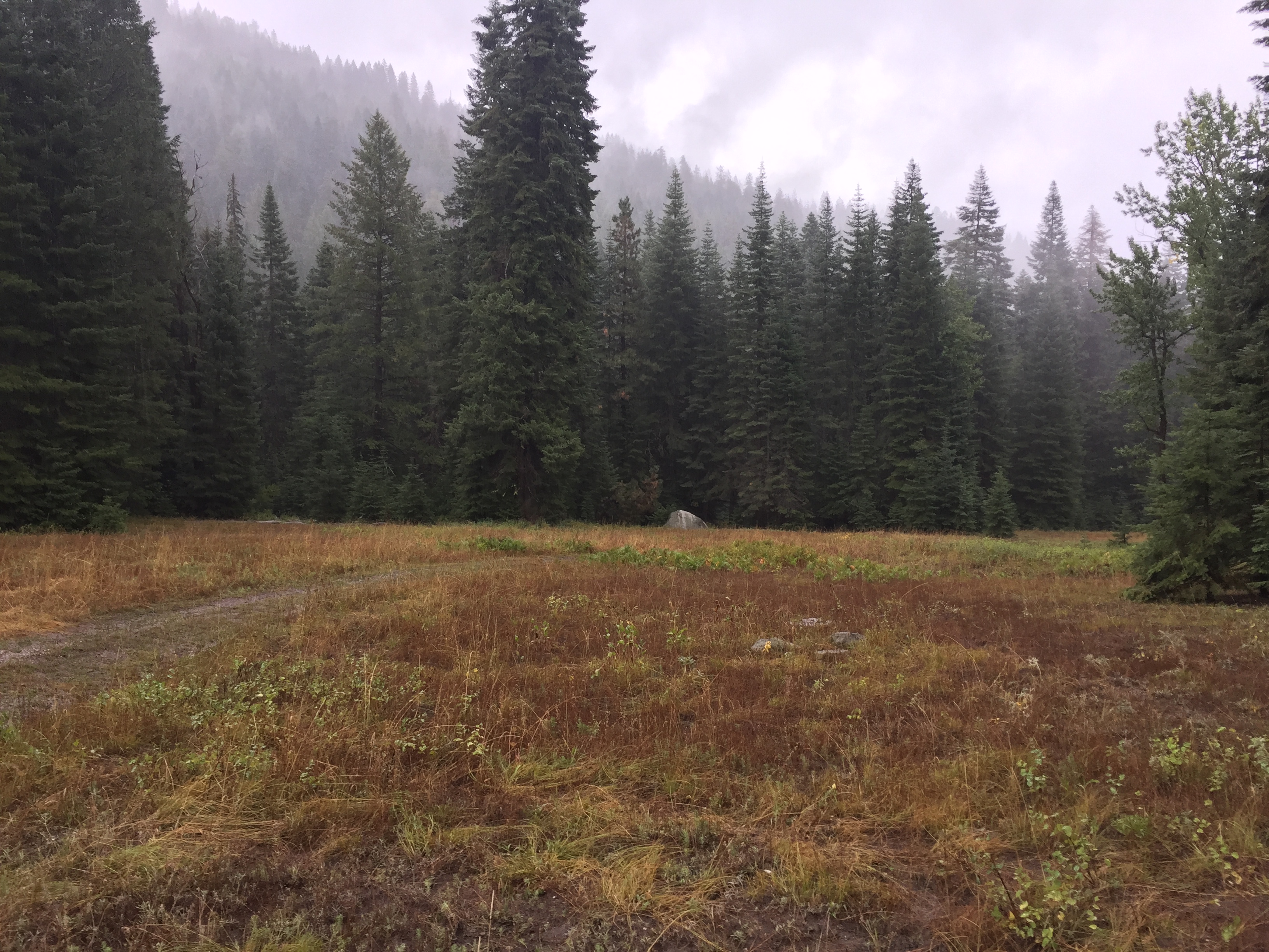
Finally! Here we are at Keenig Creek.
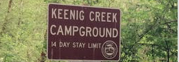
I mean…

Here we are at…
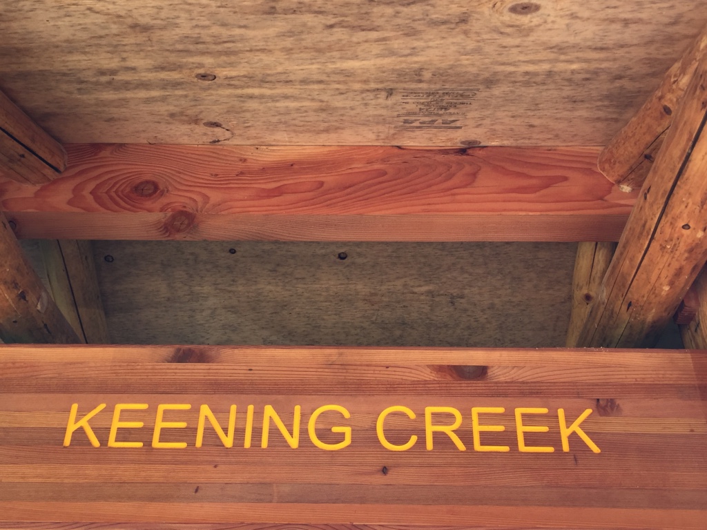
Keening Creek
All right fellers…
now, which one is it?


If it weren’t such a beautiful place, I was just about ready to call the whole thing off!
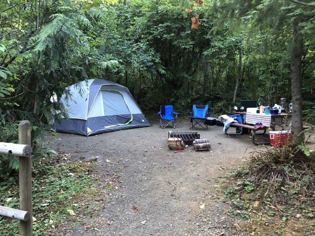
Home sweet home for the next couple of nights.
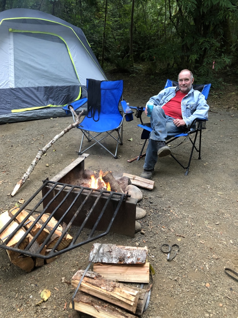
Now our first day and night was very pleasant indeed! We enjoyed our very peaceful surroundings.
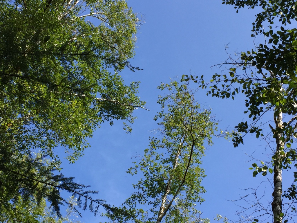
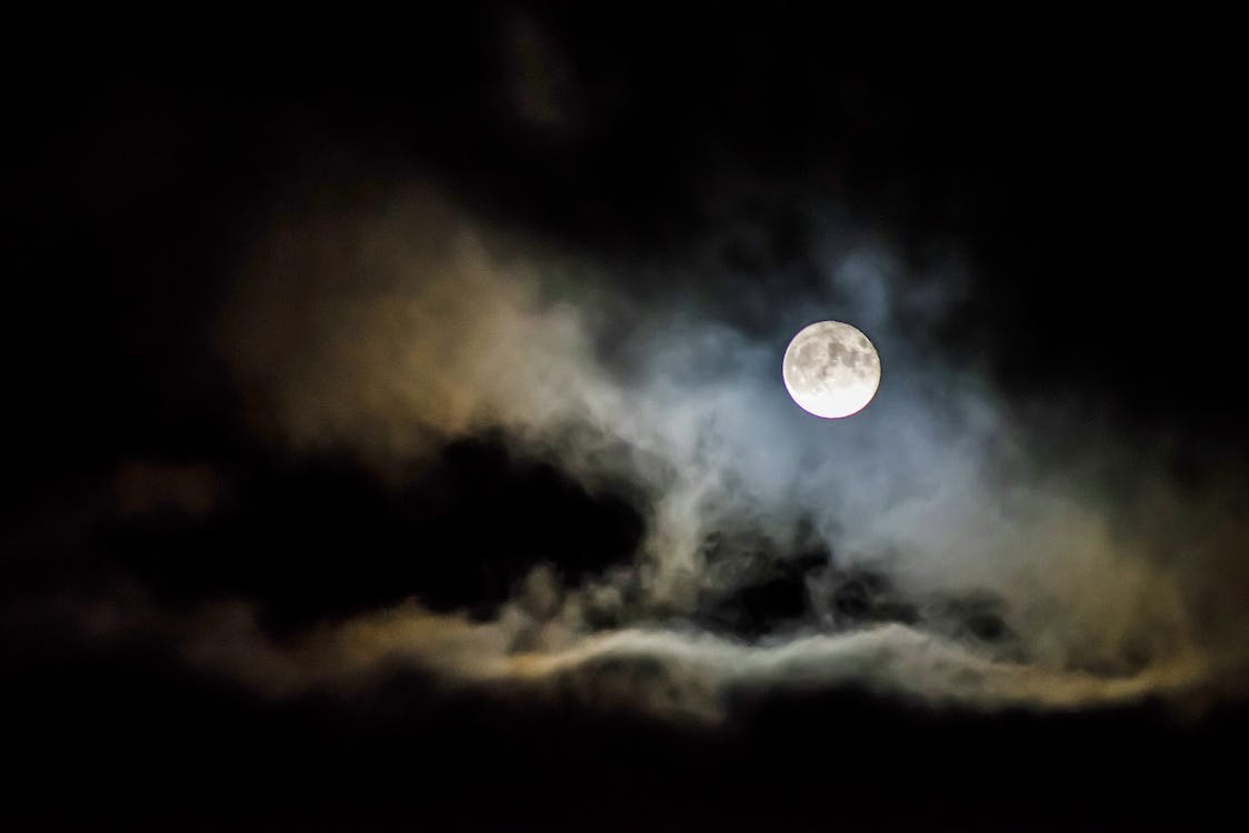
But sometimes, as every trailblazer knows… a darkened midnight sky…

Rustling in the trees…
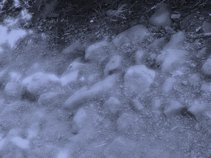
Rocks along the trail, so obvious in mornings’ light, are somehow different at night. Particularly, this night!

In the dark, even the smallest of pebbles can make you stumble.
When all the animals get still and quiet; You just know there’s something a-foot.
And so it was, we were a-wakened from our beautiful field of dreams…
To a peculiar “atmospheric disturbance”.
Oh, oh! I don’t have any Jedi Training!!!
But, but…May the force be with you!!!!

At first light, we high-tailed it!
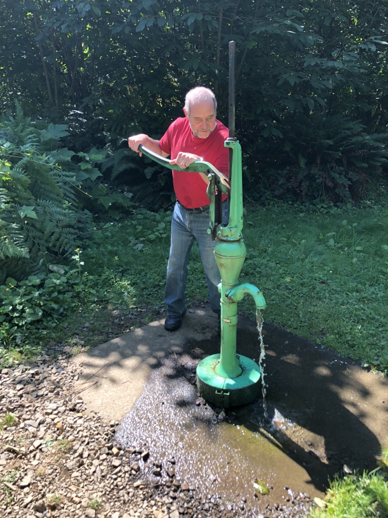
Next thing I know…We were on a Tillamook Road Trip!
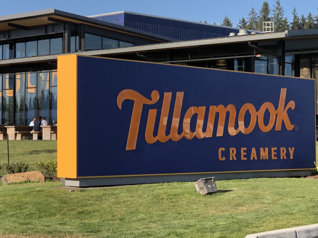
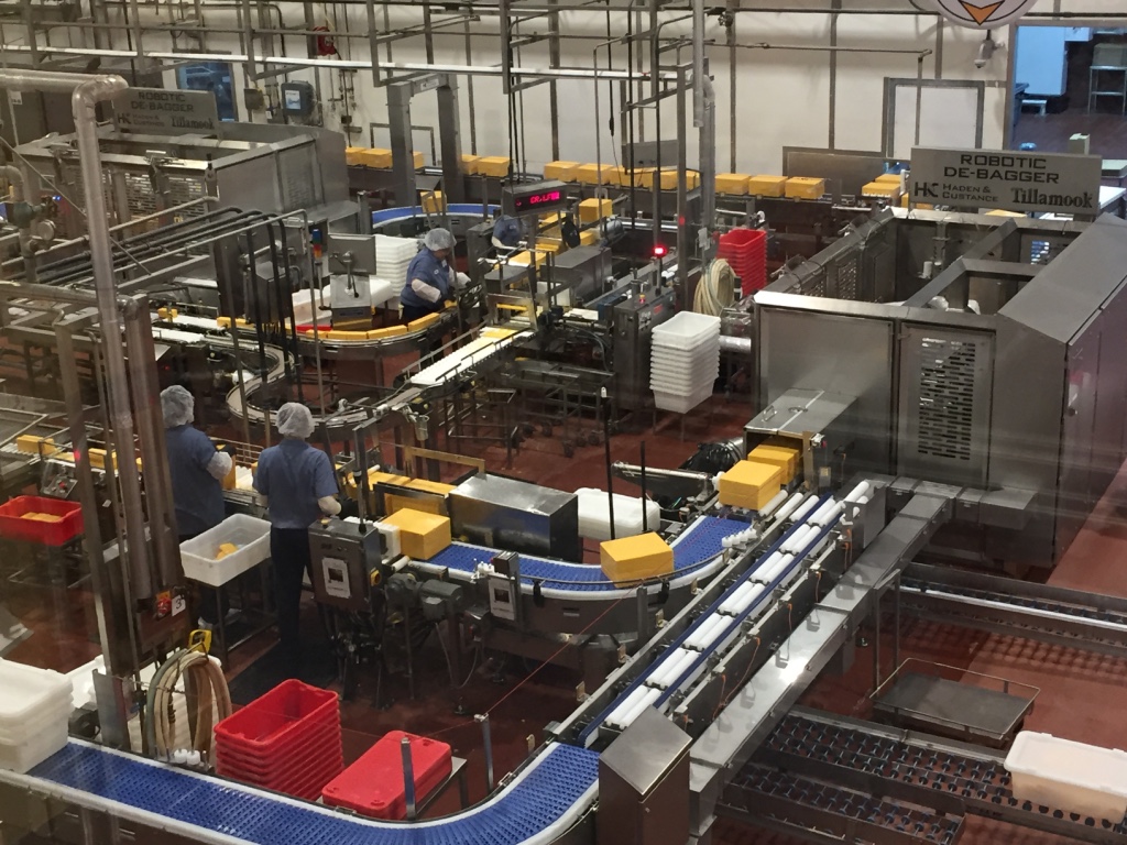
Turns out…Ice Cream

…is a great way
 to end any kind of day!
Where am I goin’?
I don’t know…
When will I get there?
I ain’t certain…
All I know is, I am on my way…
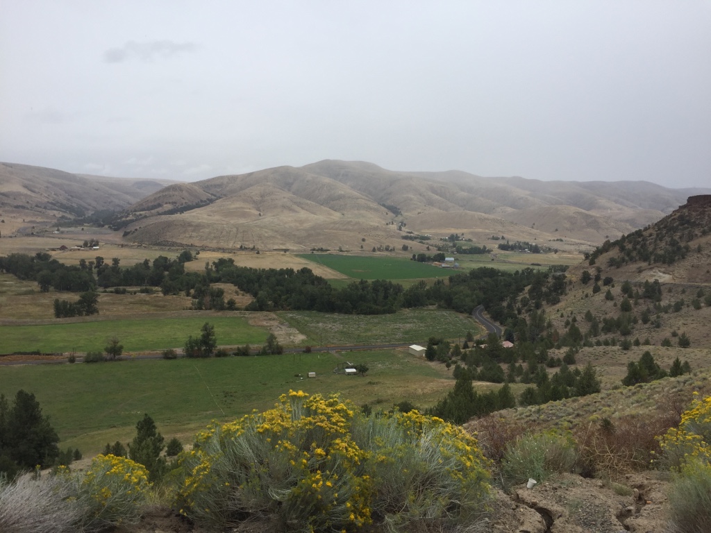
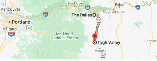
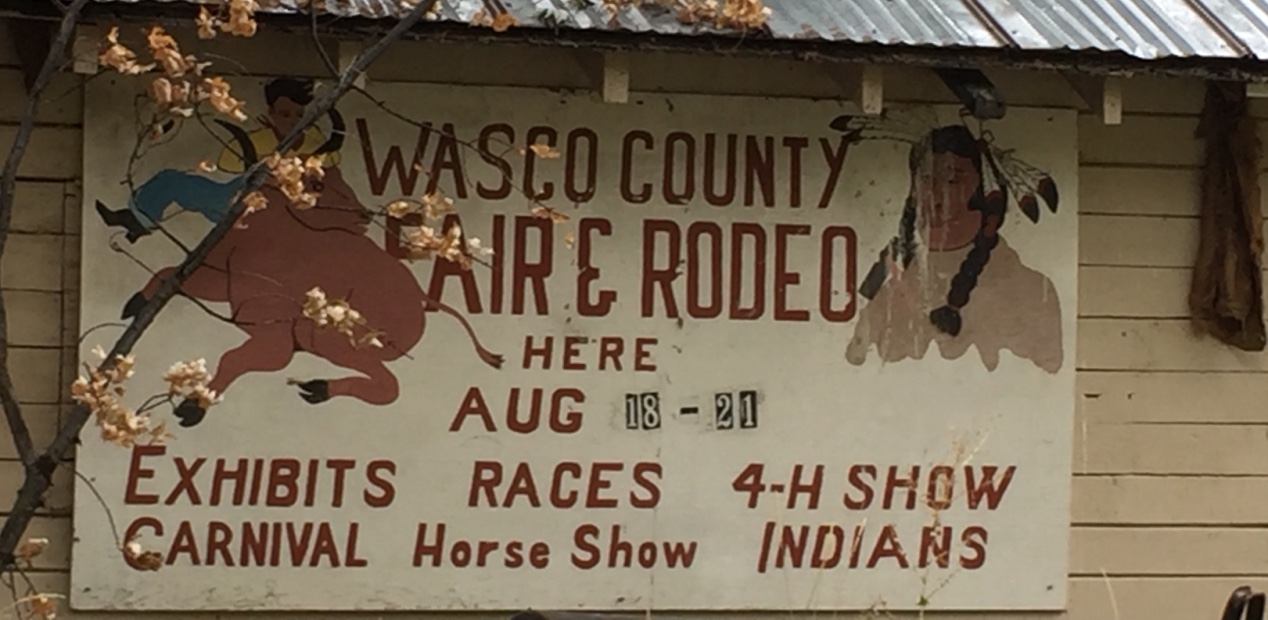
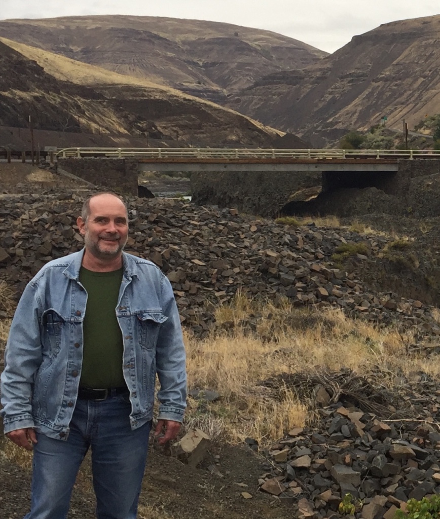
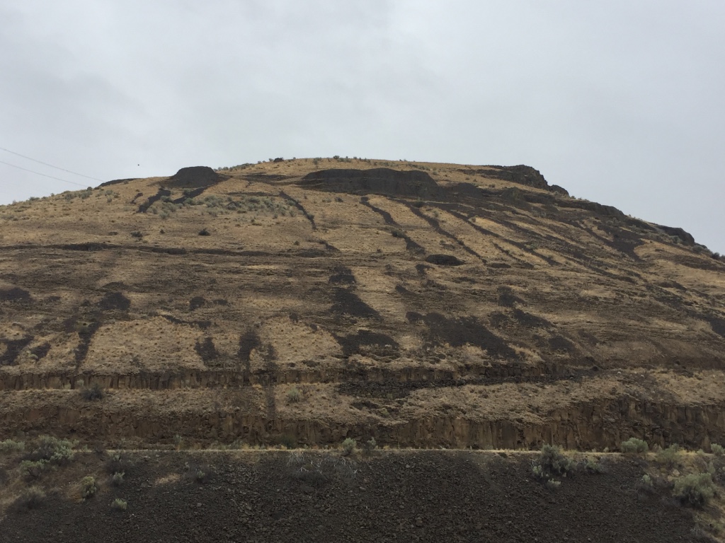
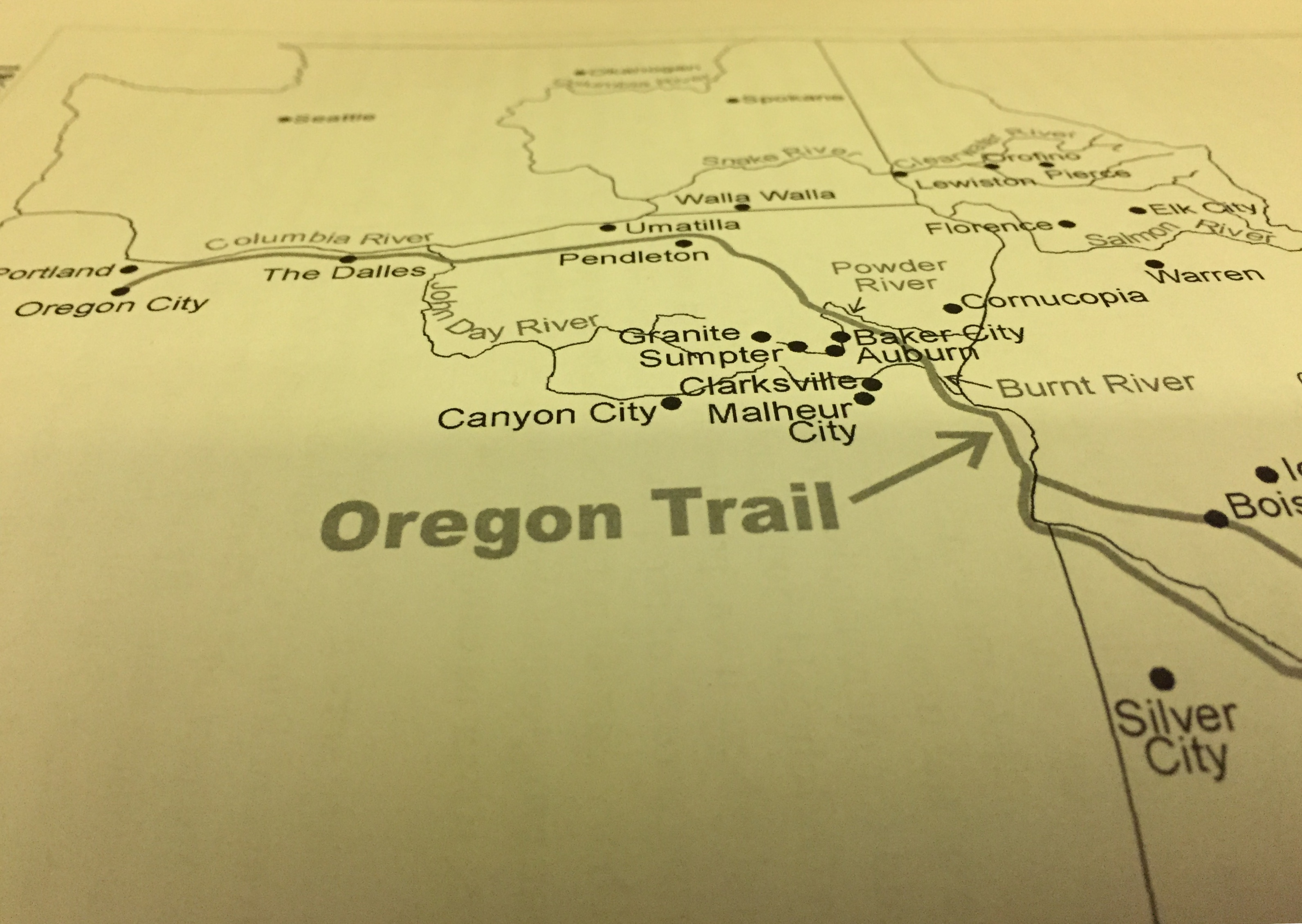
In the mid 1840’s pioneers in route to the Willamette Valley followed a wagon road that crossed over the Tygh Valley Ridge.
After a steep and rocky traverse down hill, they landed across from what is today the Wasco County Fair Grounds in the Tygh Valley.
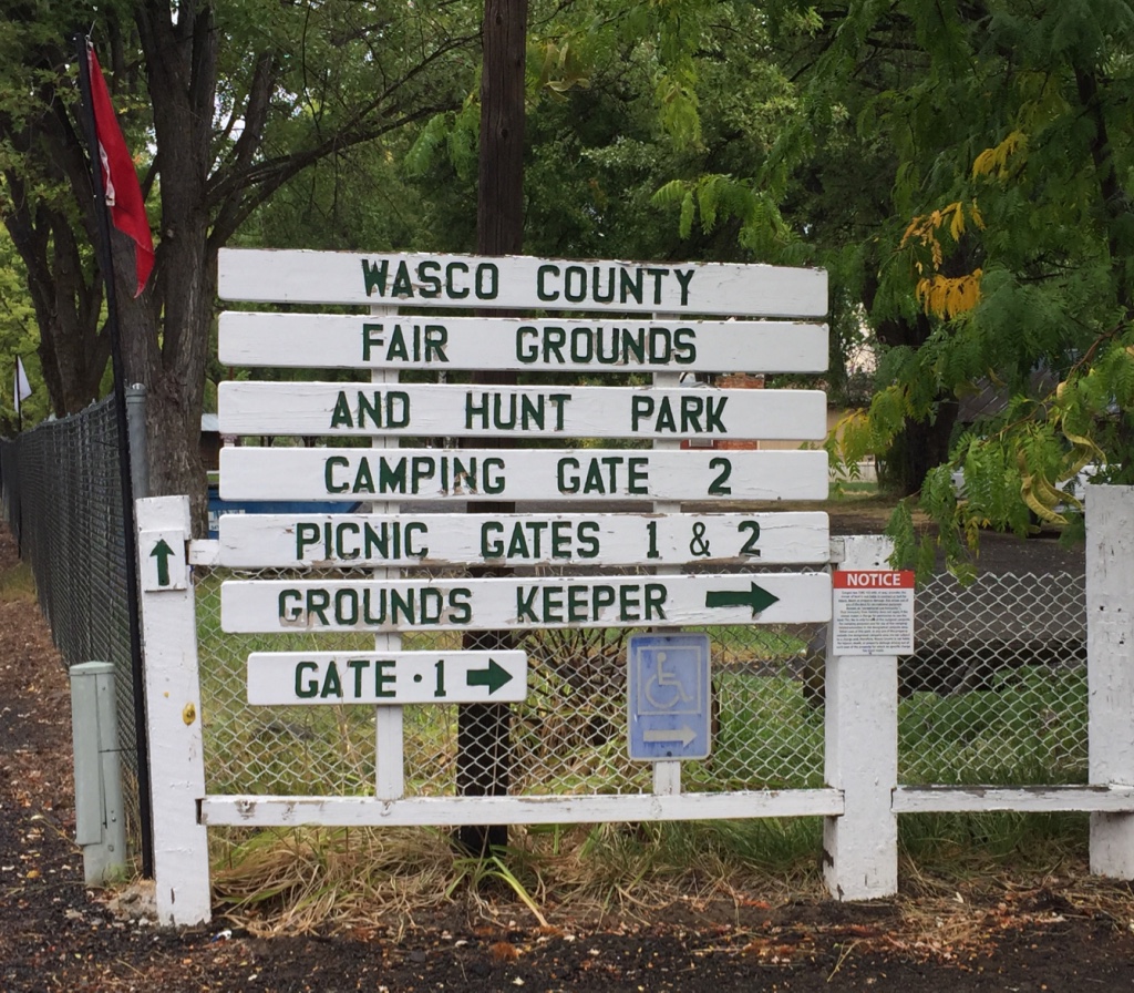
The early Pioneers traded with the Tygh Indians.
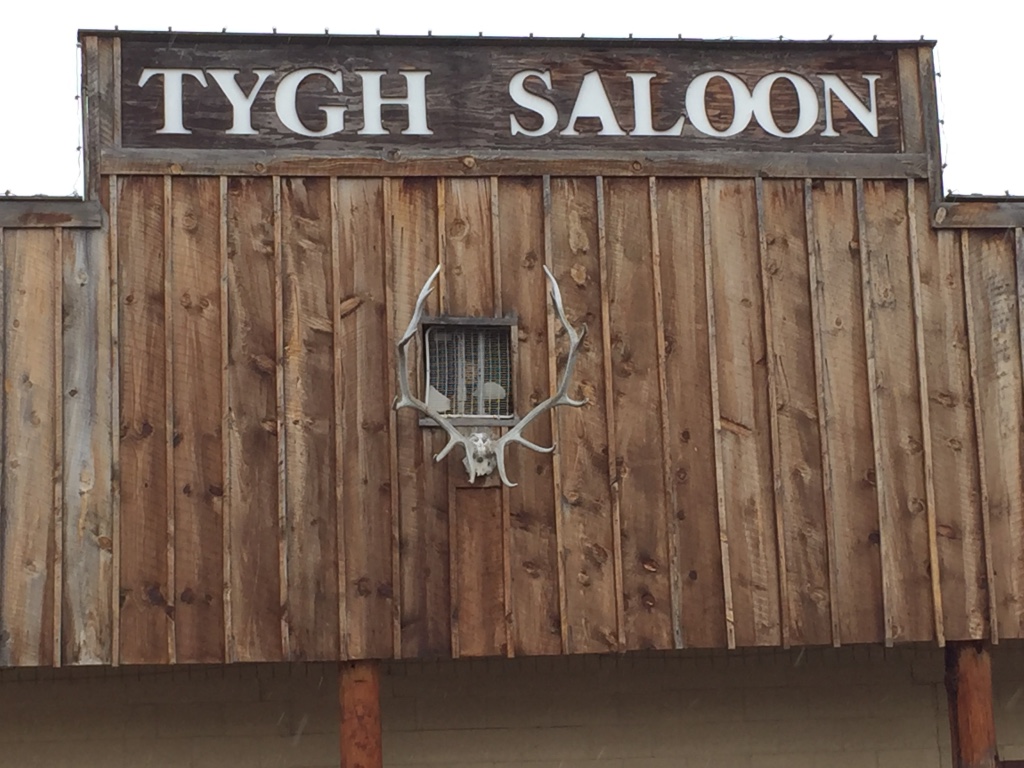
It was here in Tygh Valley; travelers rendezvoused to decide whether to continue north to The Dallas and raft down the mighty Columbia River…
or to journey over the shoulder of Mount Hood on the Barlow Road.

The Destination:
The Willamette Valley!
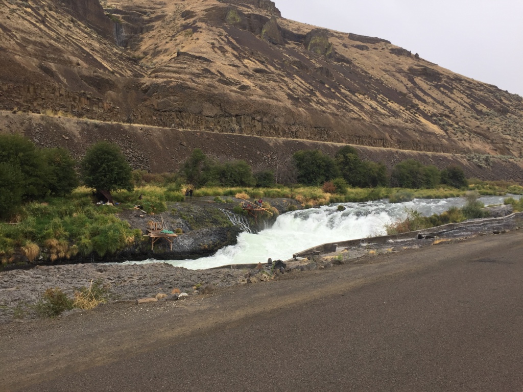
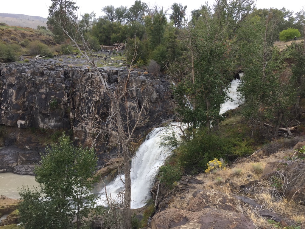
This area of the Deschutes has been a River crossing and fishing location for a long time.
Peter Skene Ogden made note of the bridge, and the Indians camped here in his journal when he crossed in 1826.
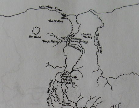
Pioneers who chose The Meek Cut off to the Barlow Road, passed here on their way to The Dallas.
Game Trail?
I don’t think so.
Animals make ir-egular cuts in nature.
Paths carved by human resilience; are more uniform. Next time you are out and about-
Take a pause, and consider the possibilities.
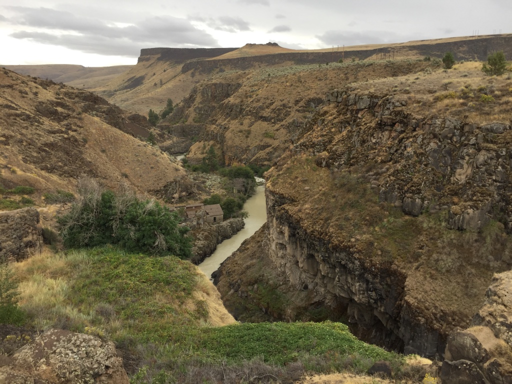
The Tygh Valley is considered by some to be the beginning of the Barlow Road- because many wagon trains crossed the Deschutes River at Sherar’s Bridge, proceeded west and bypassed The Dallas.
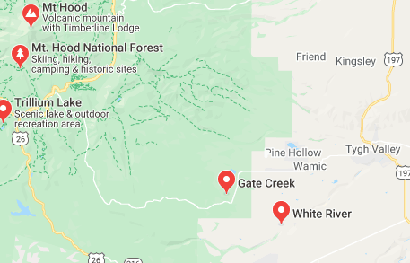
The National Park Service considers the First tollgate at Gate Creek on the White River, as the beginning of the Barlow Road.
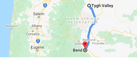
After some refreshments, we were on our way…
To Bend or Bust!
Home. Home

on the Range.
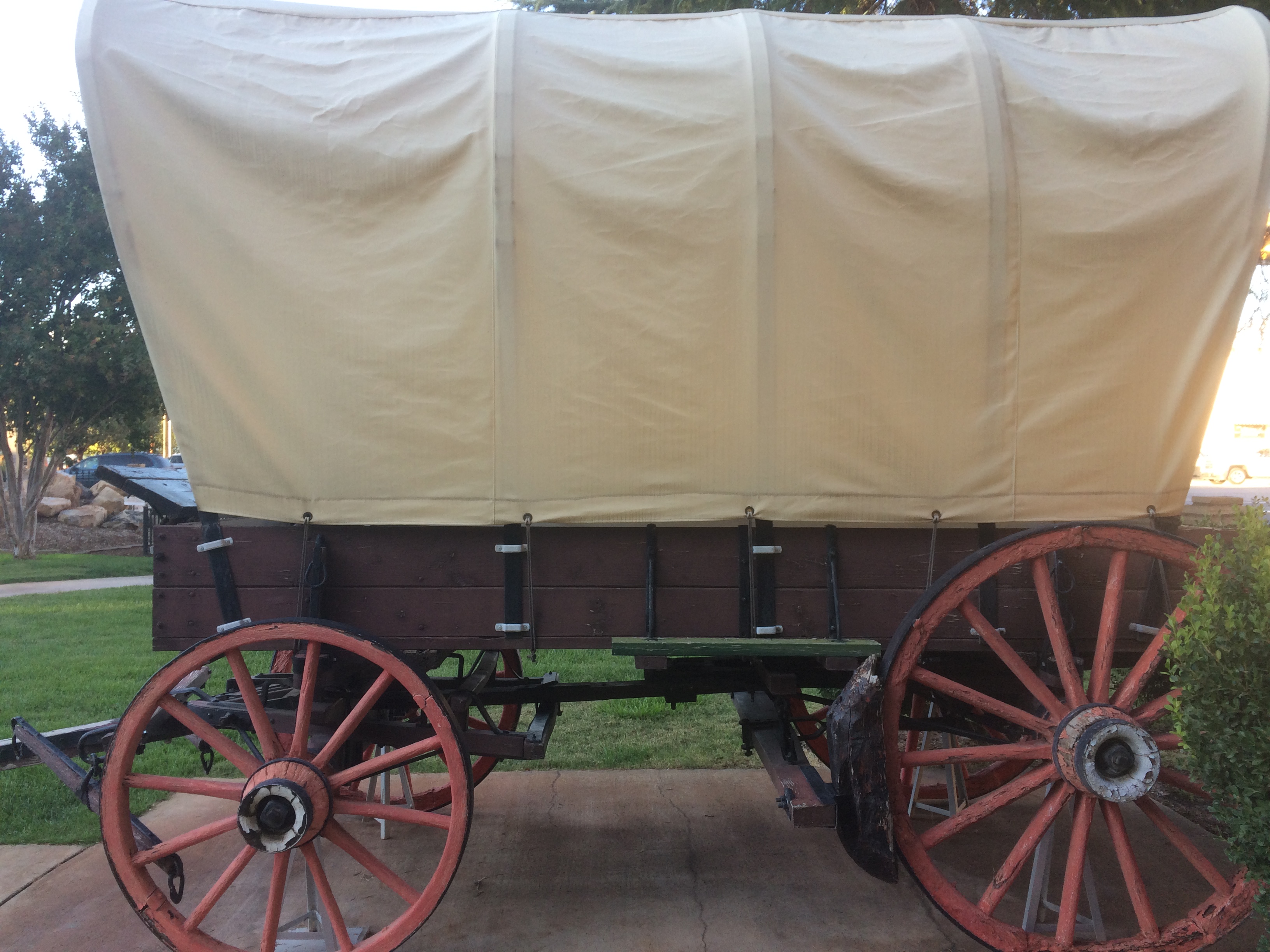
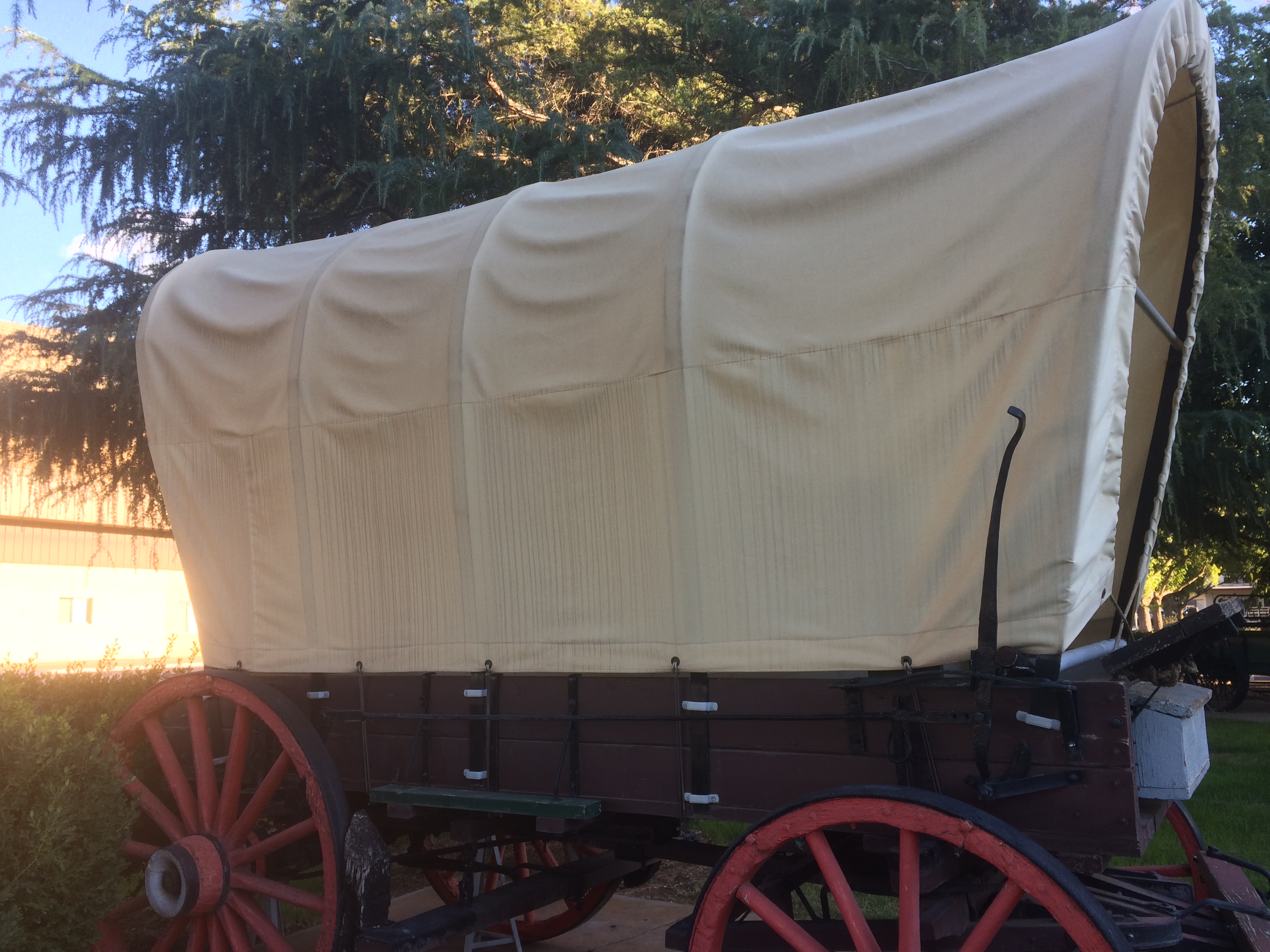
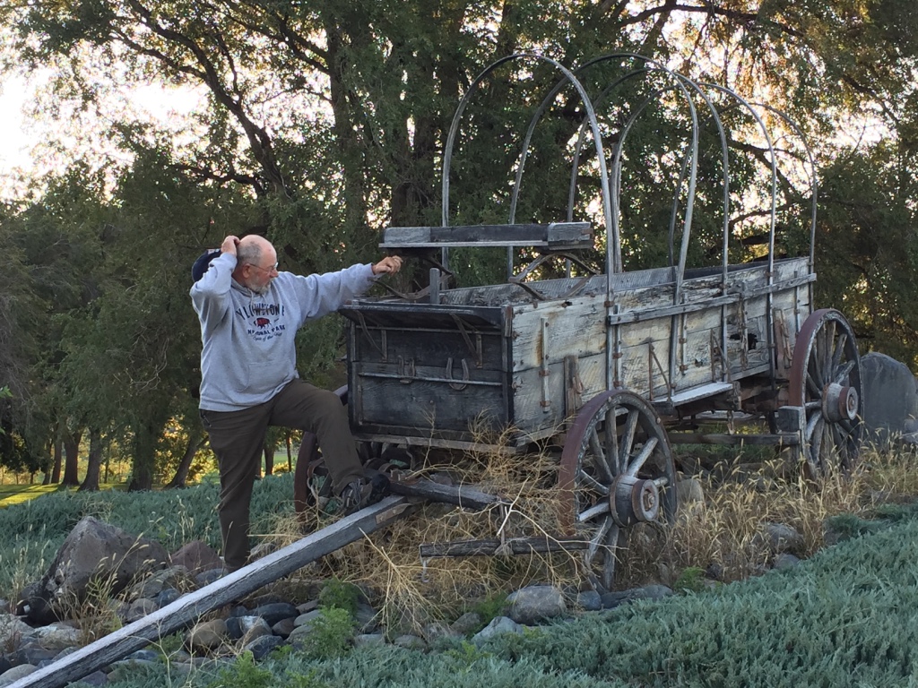
The way I hear it, the reason travelers painted names and locations on their wagon covers, was to make it easier to meet as a group, in the crowded wagon camps.
The practice started when a large number of backwoodsmen from Pike County, in eastern Missouri hit the trail. They painted Pike Co. Missouri on their canvases. Or simply Pike. They became known as Pikers.
These small communities of people who traveled together out of necessity and hardship, never forgot the powerful friendships they formed. We call it Pioneer Spirit and it lives on today!

After 1850, when throngs of migrants began traveling the trail, many because of the California Gold Rush; wagon manufacturing became a huge business.
Part of Americana: John Deere, Studebaker, Sears and Roebuck all began by manufacturing wagons.
By the late 1850’s the traveling Farmer’s wagon was re-made, complete with flared sides and tongue-and-grove flooring, for easier flotation on The Trails’ rivers. These new and improved vehicles were advertised as Prairie Schooners. A pioneer could hit the road in one of these babies for about seventy-five bucks!
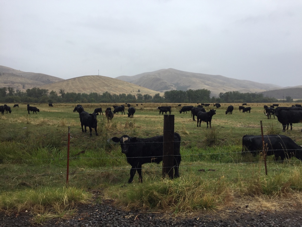
The year is 1904. The Millers have recently homesteaded near the booming town of Bend, Oregon.
The family tends cattle out on the open range. And has recently joined will other homesteaders to buy a used saw mill from the US Army.
Timber tycoons, stockmen, Sheepherders and many others regularly visit the Miller family Ranch in the…
High Desert
near Bend, in the Summer!
Gold…
The Gold Rush began with the discovery of gold at Sutter’s Mill in California in 1848.
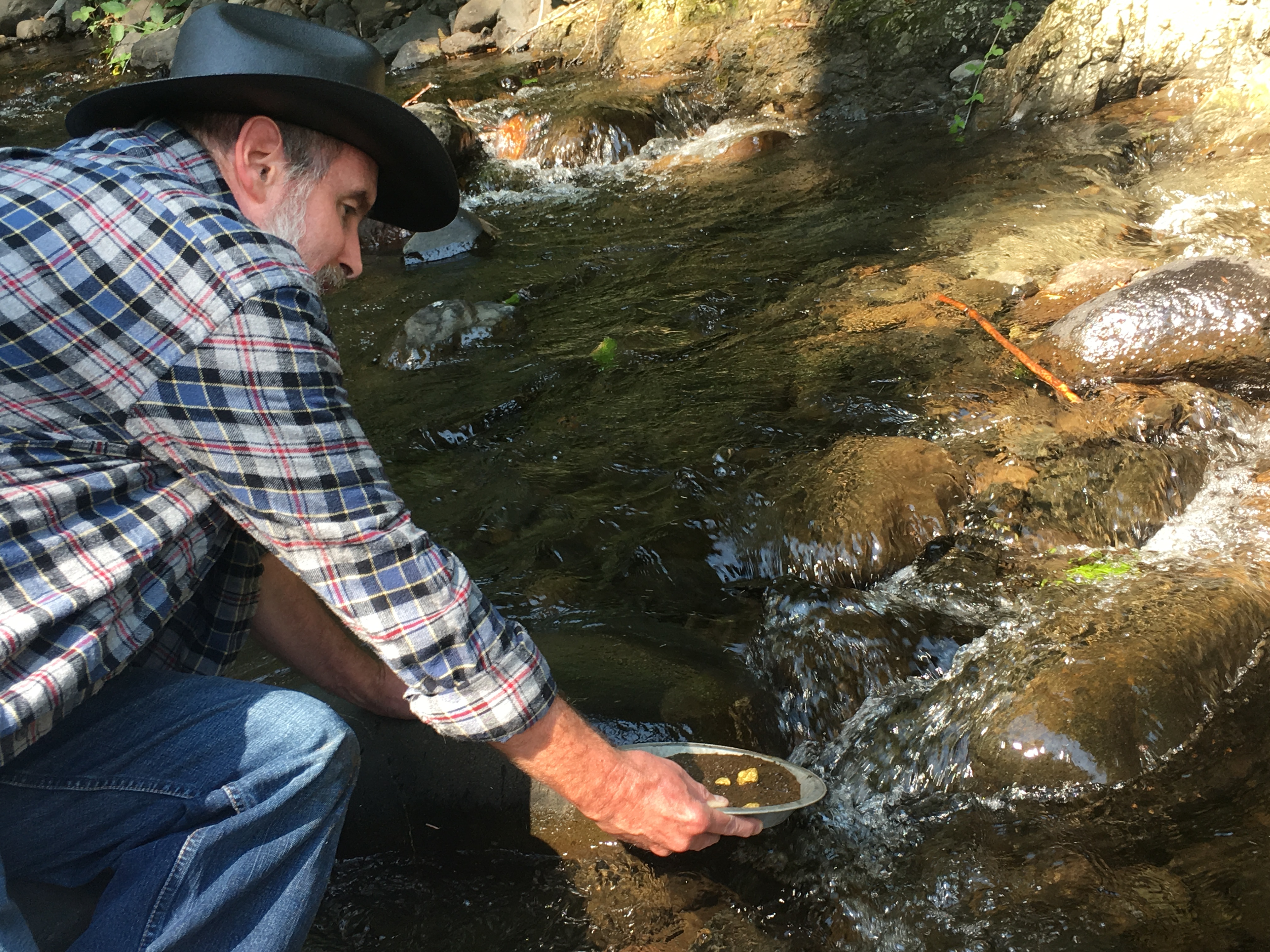
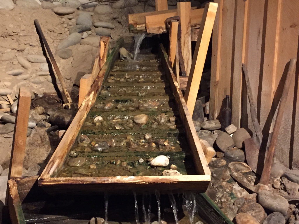
Miners shoveled a few handfuls of gravel, sand and silt out of the river and into a pan. Everything scooped was nice and wet. Roughly shaking and swirling the pan would help the gold settle to the bottom.
Gold is heavier than other minerals in the water.
Then, tipping their pan into the river at a very shallow angle, the current would carry away the first layer of sand and silt. Then repeating the shake down, and carefully returning the pan to the river current; they could remove another layer of silt and sand until patient miners were left with a tablespoon or two of blackish sand. Another gentle swirl of the pan would help the gold flakes settle further. Miners would pick the flecks out of the pan and store them in their pouch. A good panner could do 50 pans in a day. If he could wash ten cents per pan, he made five dollars a day!
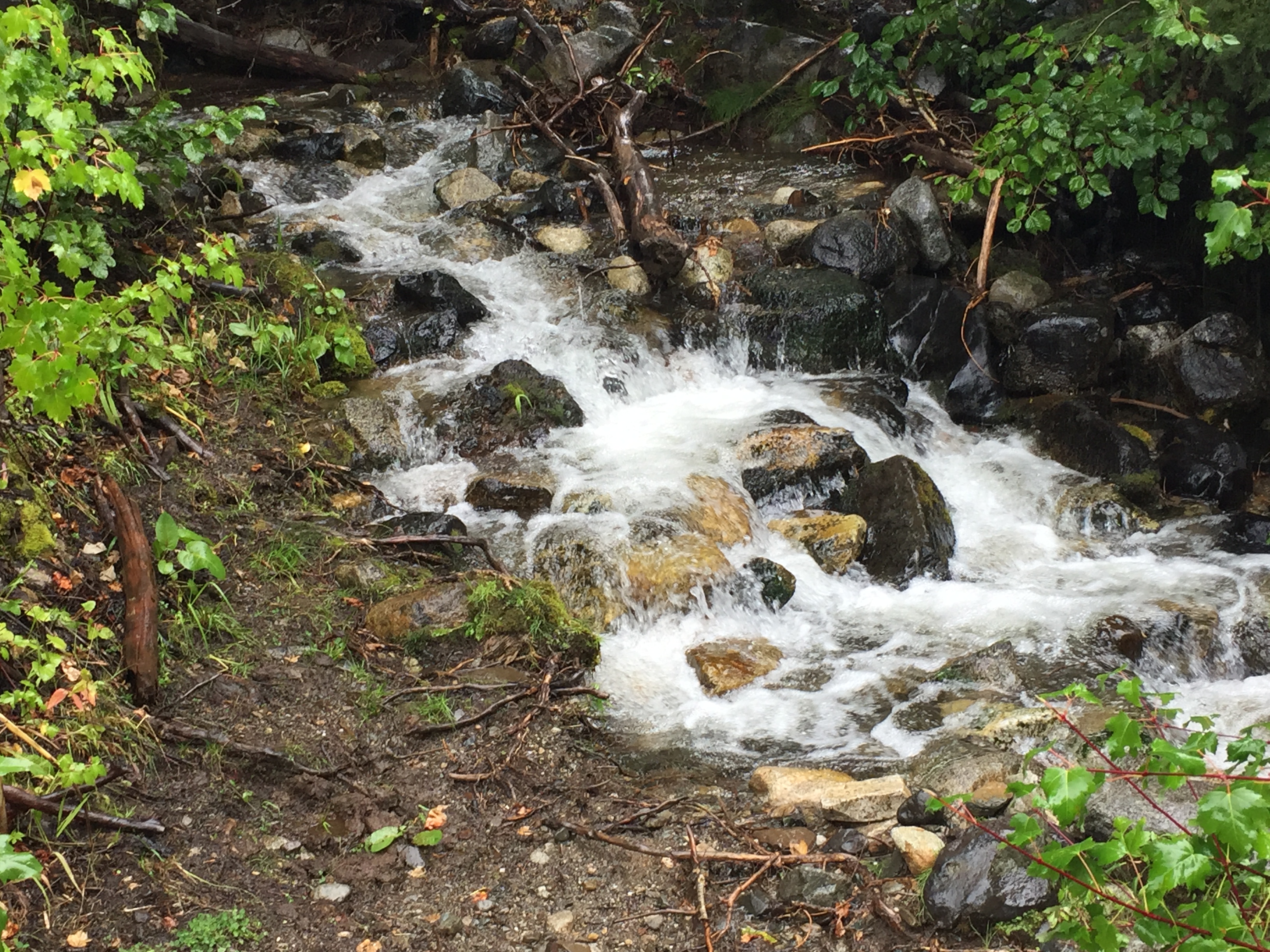
Some diaries claim that prospectors in Oregon were mining placer gold on the Burnt River in 1854.
Gold…
A sluice is a slightly raised wooden trough with cleats nailed across the bottom. As gravel is washed down the incline, the gold sinks to the bottom and is trapped by the cleats.
But Oregon legend has it that as early as 1845, gold was discovered in another creek in Eastern Oregon.
As the story goes, A wagon train led by Stephen Meek was headed for the Willamette Valley. But Meek; certain of a short cut, (known today as the Meek Trail) got lost.
GOLD…
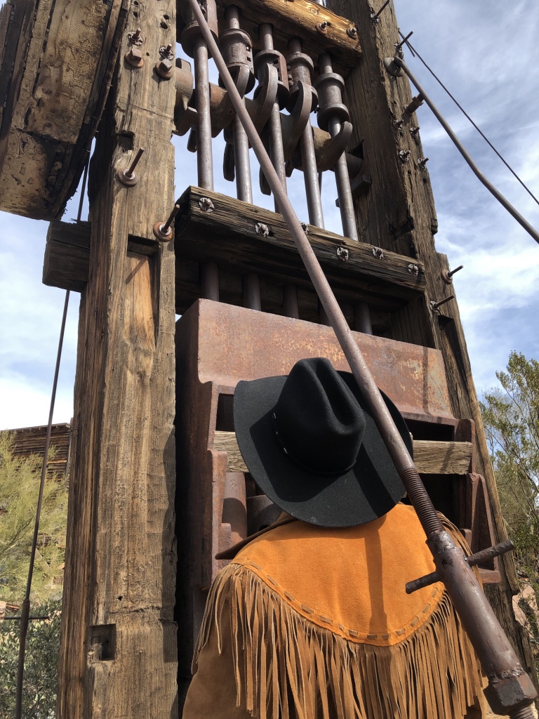
The stamp mill uses heavy weights known as stamps that repeatedly drop on crushed ore. The flat surfaces on the front of the stamps are copper plates coated with mercury. Water washes across the plates and the gold combines with the mercury. The minerals are later recovered by distilling off the mercury.
While some kids in the party were playing in a nearby creek, they found some yellow pebbles. The youngsters stored their find in a blue bucket that got forgotten when the train moved on. The blue bucket was never found, nor was their location ever positively identified. But that has not stopped many from searching the area for what has become known as the Lost Blue Bucket Mine. Some believe that the source of the children’s find was Canyon Creek, near what today is Canyon City.

GOLD FEVER!
It was on such a search that Henry Griffin and his search party found gold near Baker City in October of 1861. The place is now known as Griffin Gulch. Griffin’s discovery triggered a flood of prospectors to Northeastern Oregon!
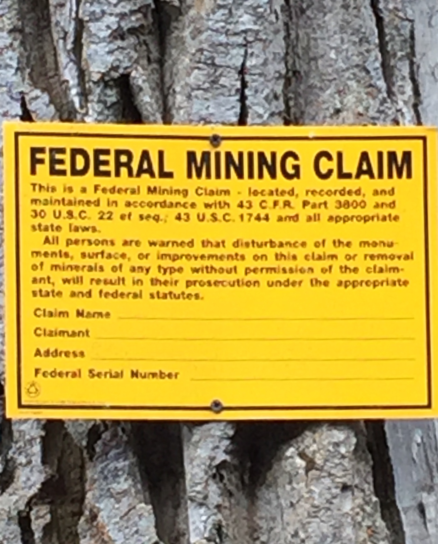
The basic law principles, for placer and Lode (Hard Rock) mining…
were established by congress…

in the mid 1860’s and early 1870’s.
They are still valid today.
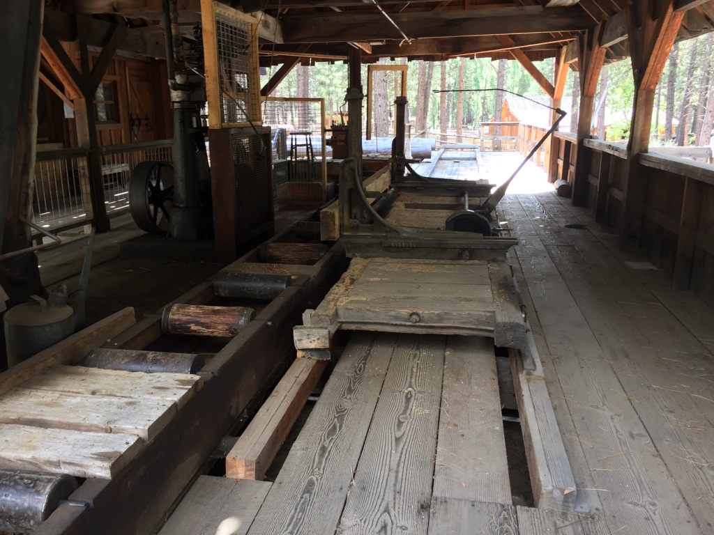
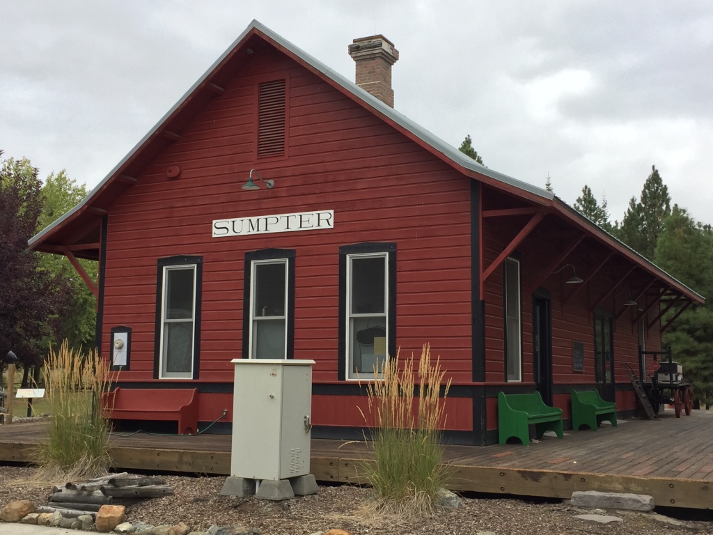
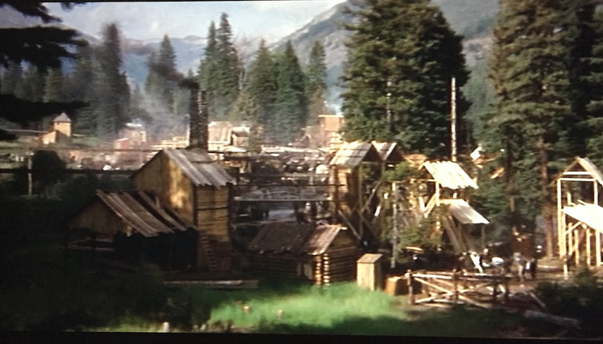
 Sumpter, Oregon
September, 2019
In 1862, five men from the South, found gold in some gravel deposits, near the junction of Cracker Creek and McCully Fork. Being Southern sympathizers, they called their new cabin Fort Sumpter.
Eventually, Sumpter became the hub of the most productive gold mining region in northeastern Oregon.
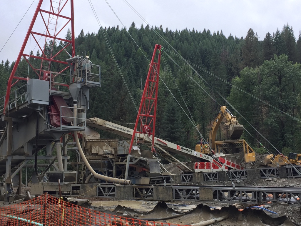
Sumpter’s boom really began with the development of lode mining, and the arrival of the Railroad in 1896. But Placer mining was still very active.
Large bucket-line dredges began operation in the Sumpter Valley in 1913.
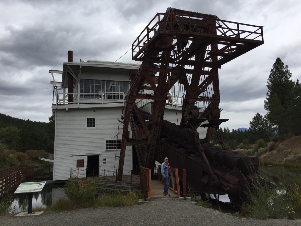
Sumpter Dredge Number Three, operated continuously from 1935 to 1954.

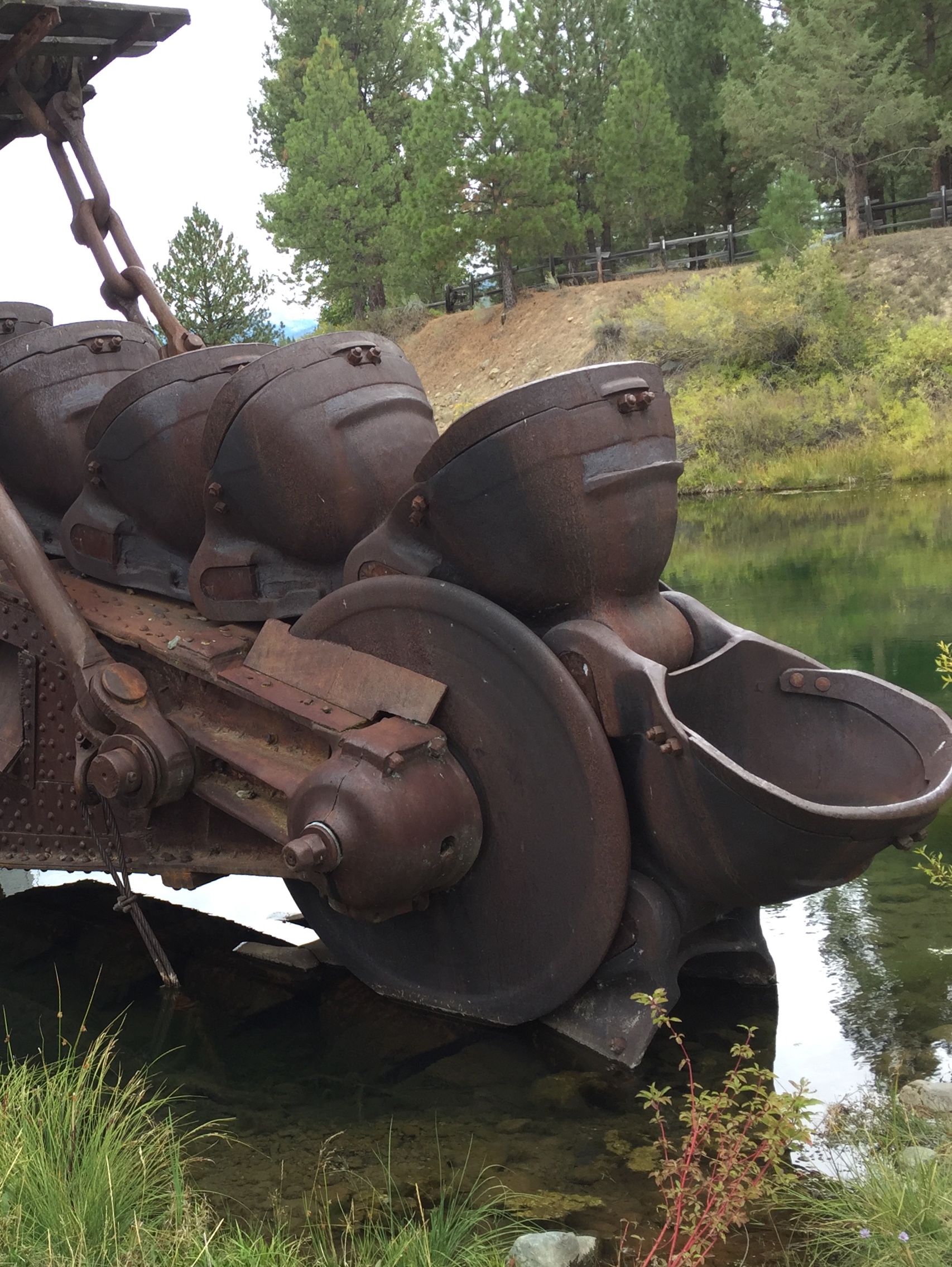
It did shut down for three years during WWII.
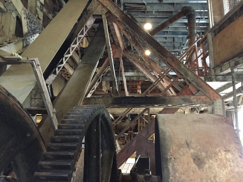
The dredge dug in a sideways motion to create a pond big enough for it to maneuver in.
The dredge operated 24 hours a day, in all kinds of weather.
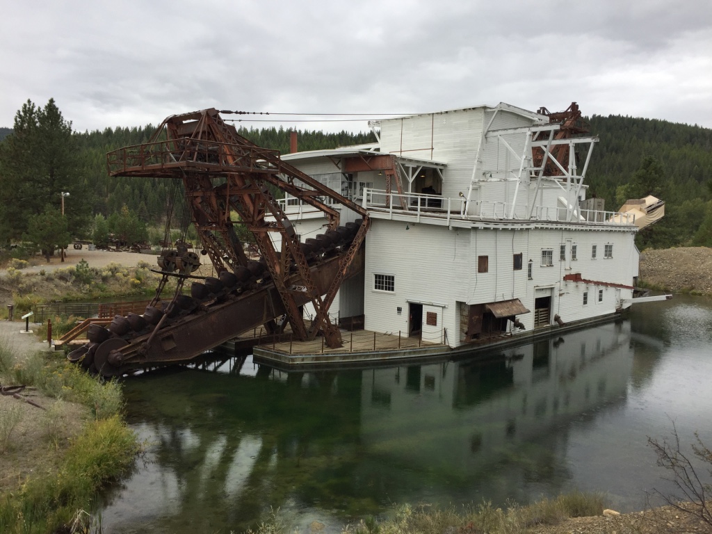
It produced $4.5 million in gold, at the price of $35.00 per ounce.

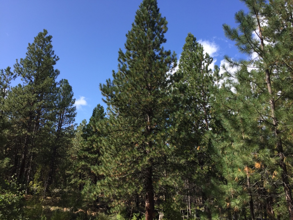
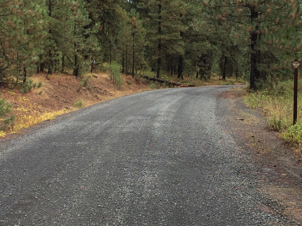
Granite, Oregon
September, 2019
Gold was discovered on “Granite Creek” on the Fourth of July 1862, by a group of prospectors from California.
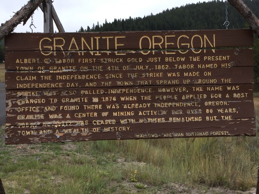
In the spring of 1865, as the take from the placer mines diminished, several mine owners sold and moved on. The sale of mine property typically included flume boxes, sluice boxes, tools, quicksilver, water rights and cabins belonging to the claim.
Some Chinese miners moved in and worked these claims. They were persistent, dedicated and hardworking people. And proved to be very good gold diggers.
The Granite mining district was re-energized with the Lode Boom starting in 1890.
The government shut down many mining operations during WWII including the Granite district, to focus on the war effort.
The town never recovered.
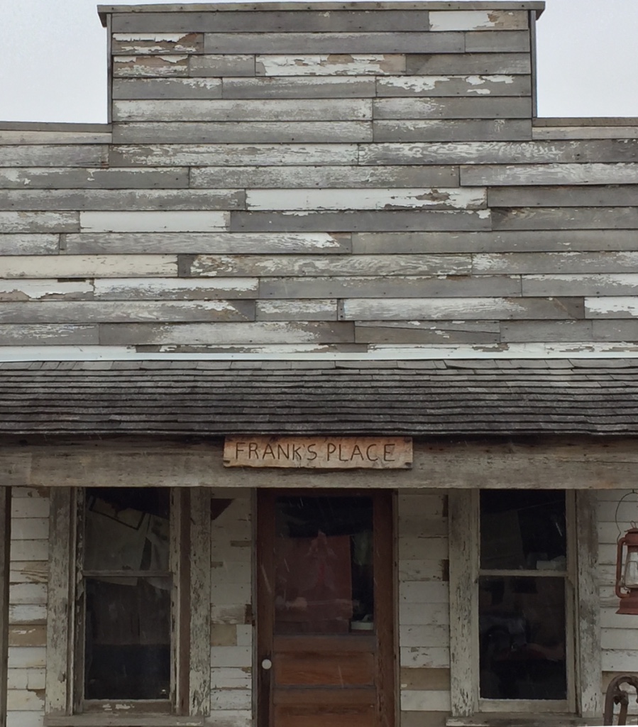
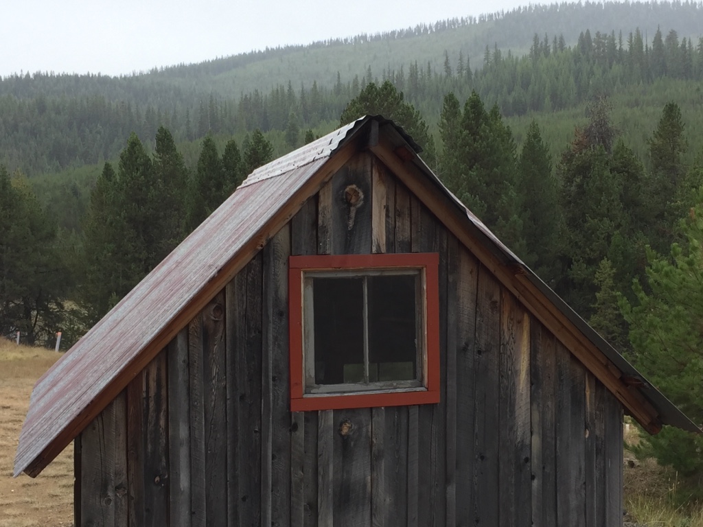
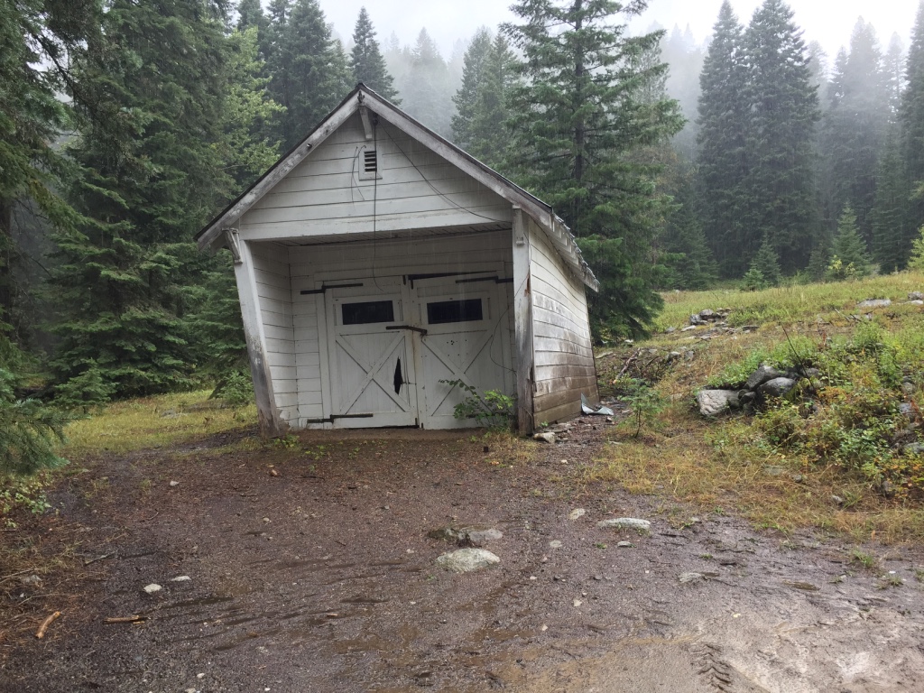
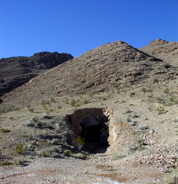
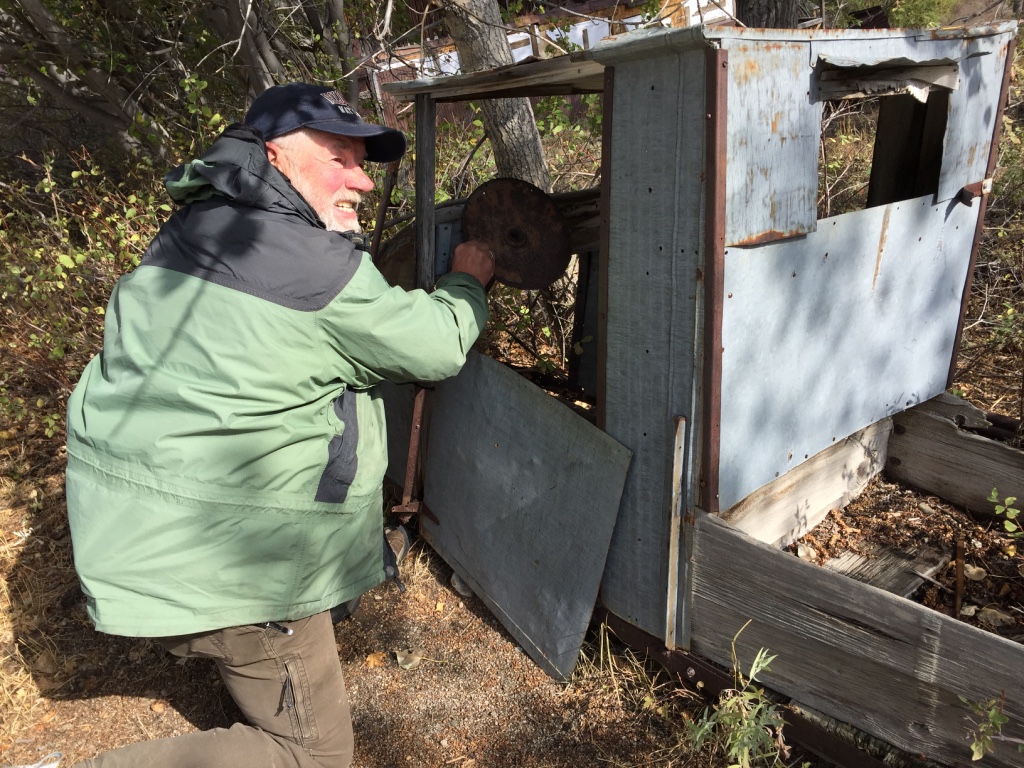
Today in this quiet little town, Frank still works his claim. But he was not at home when we dropped by.

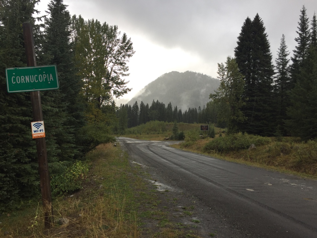
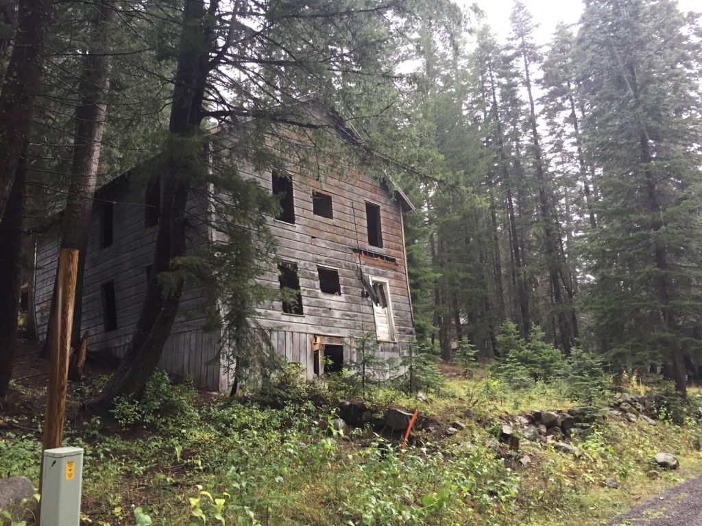
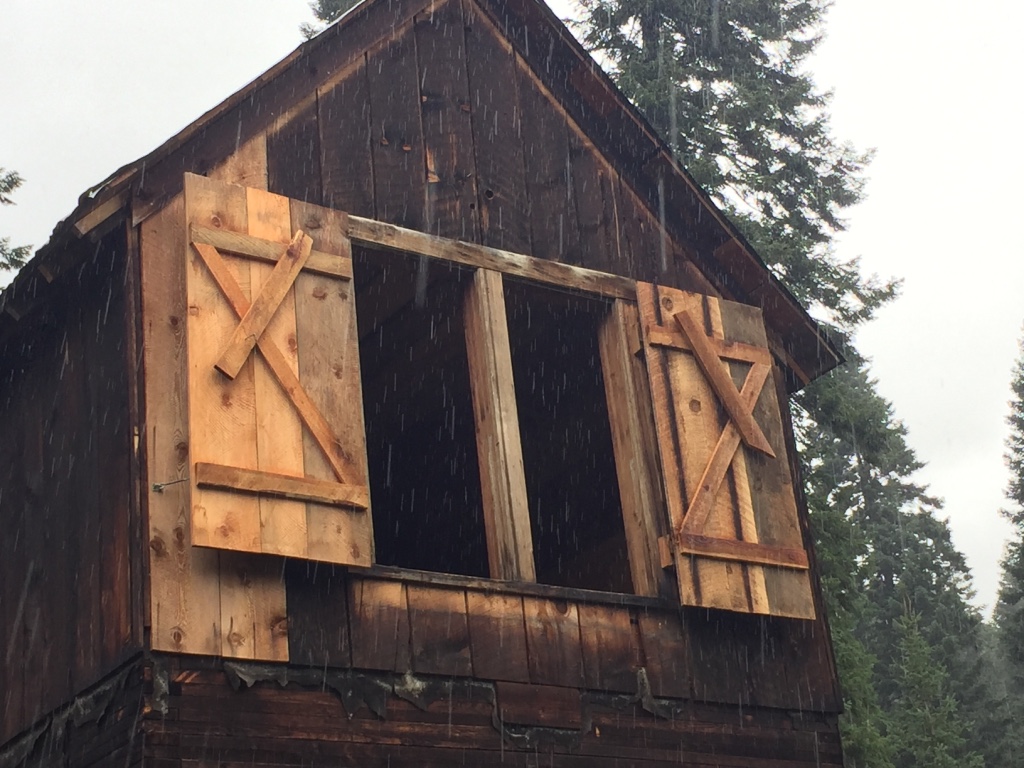
Cornucopia, Oregon
September, 2019
This area never quite became another Virginia City, but Cornucopia did turn out to be Oregon’s most productive mine.
The name Cornucopia means “horn of plenty.” Prospectors from Cornucopia, Nevada offered the name.
It is estimated that from ten to seventeen million dollars in gold, silver, copper, lead and zinc were excavated from the Cornucopia Mine.
Mining boomed here in 1885, when prospectors flocked to the area after hearing of the gold rich veins in the Granite Mountains.
The Cornucopia Mine worked “The Union-Companion” and “Last Chance” veins. Both are at very high elevations. Much of the ore was transported by tram.
The Cornucopia Mine ceased operation just prior to the start of WWII.
Today, it is believed that both of these veins continue to a considerable depth below what has already been worked. And that both, would likely yield ore of about the same quality, as that which has already been milled. Though, even now, a mining operation in this terrain, and at such elevations, is not considered cost effective. But if you choose to explore these old Mountain trails, it is possible that you might happen upon a gold digger with just such a glint in his eye.
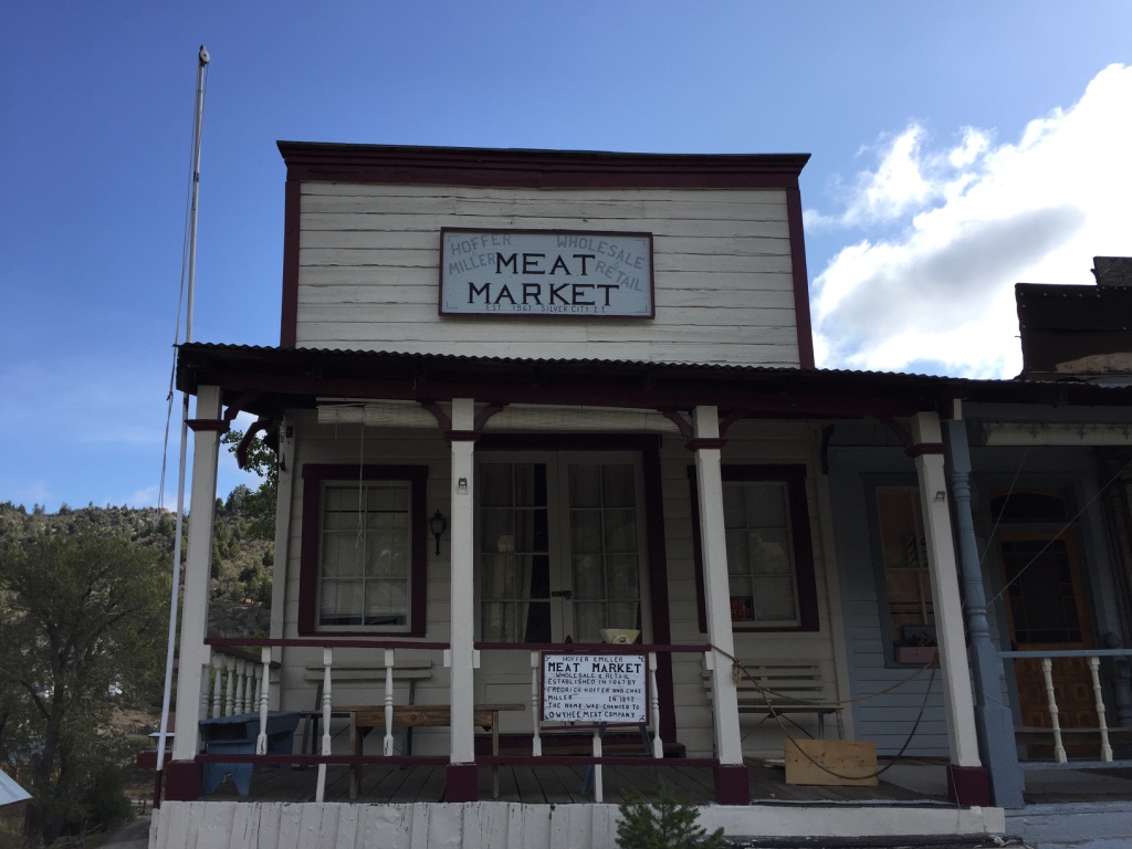
In 1902 Cornucopia boasted…
two hotels, two general stores…
two livery stables and several meat markets. There were bakeries, barber shops, saloons and dance halls.
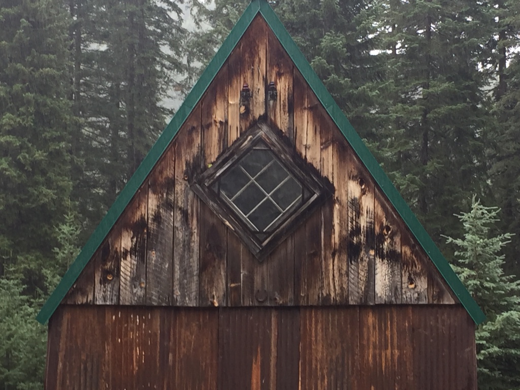
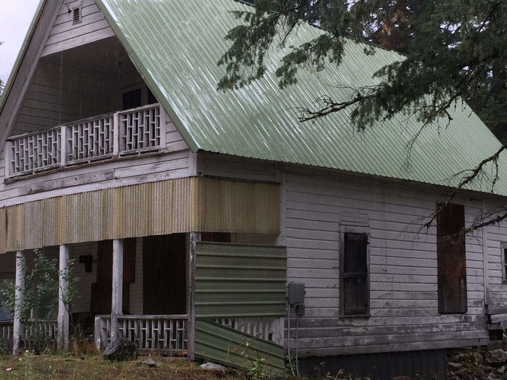
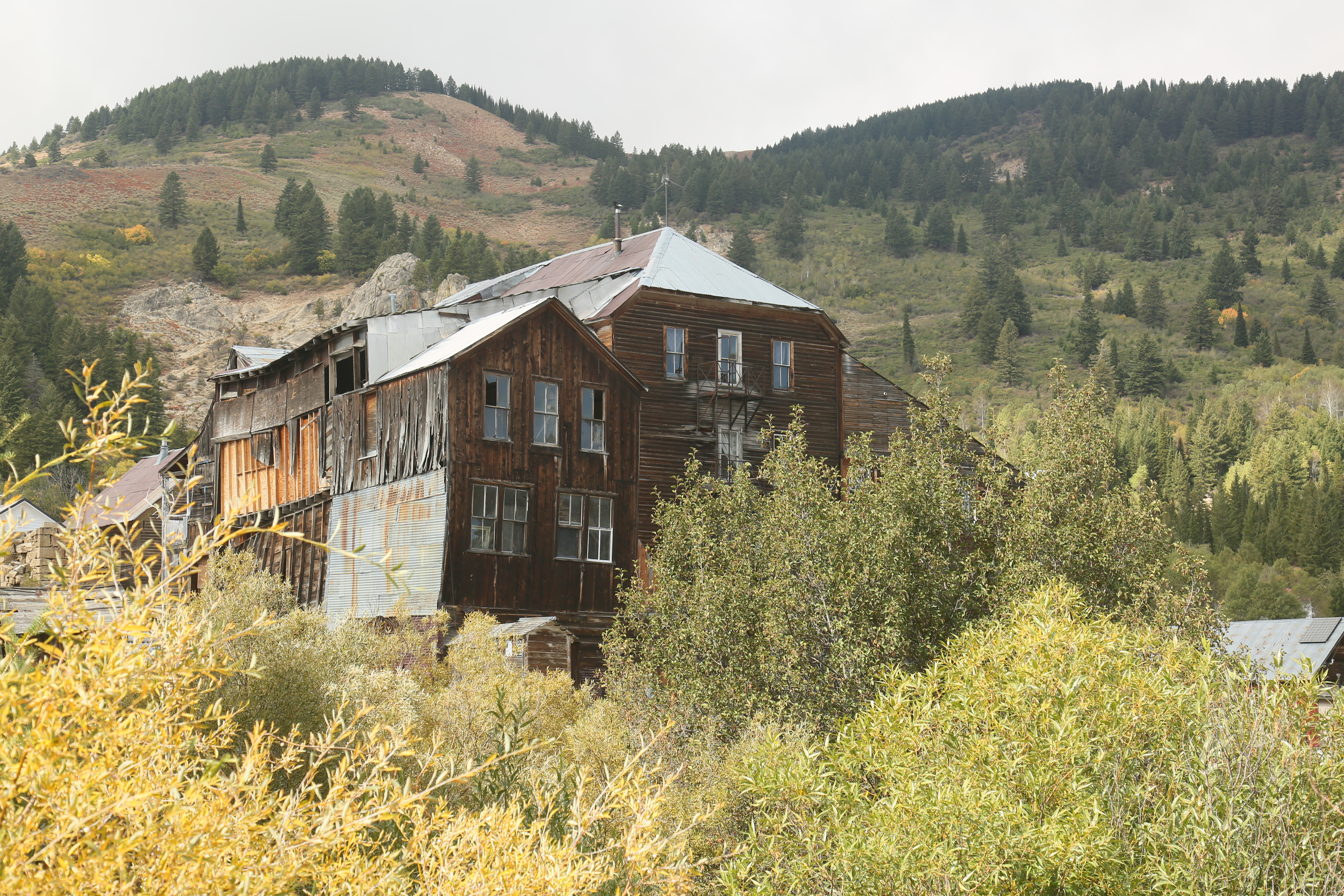
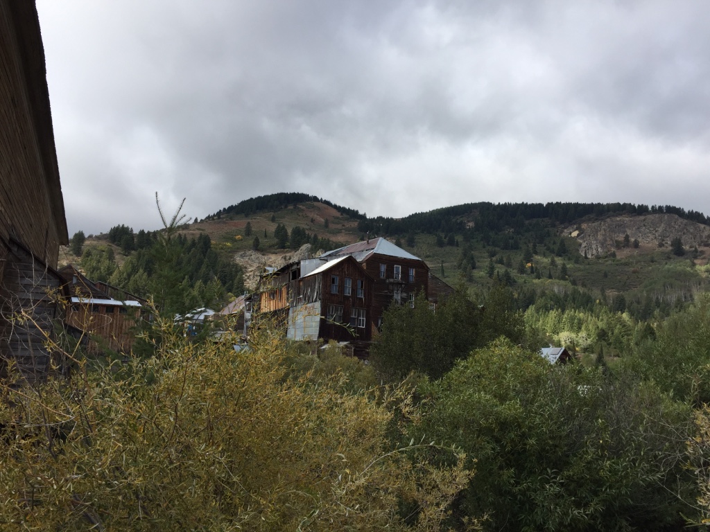
Today, Little remains of the town except some old dilapidated buildings…
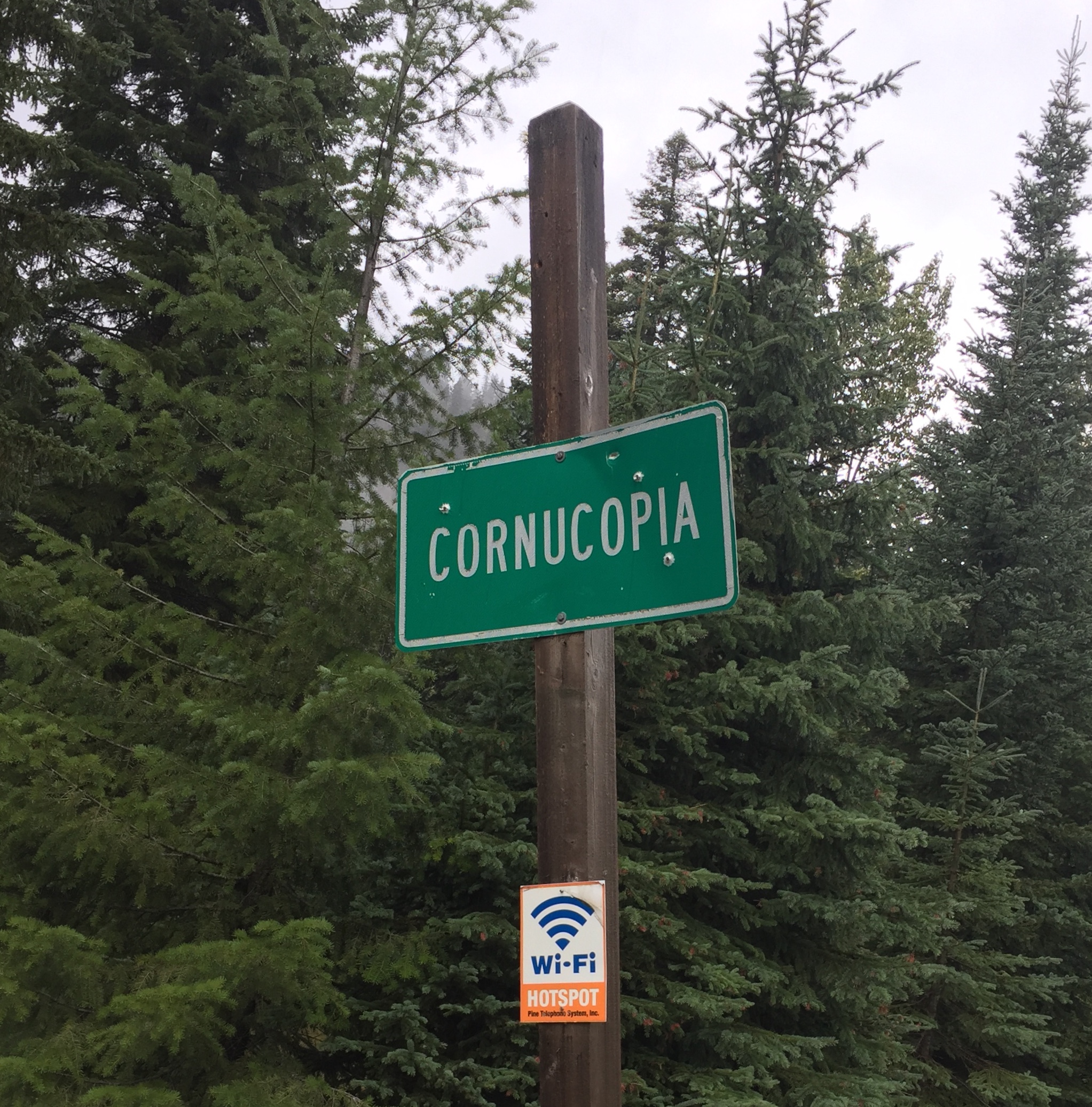
AND GREAT WIFI.

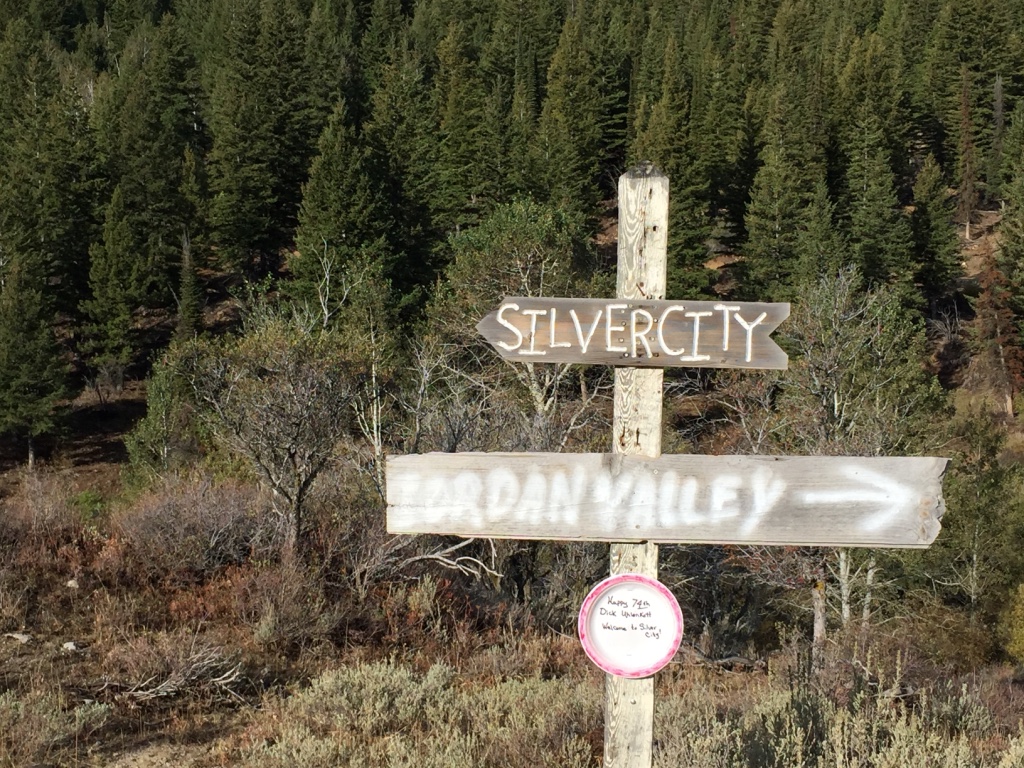
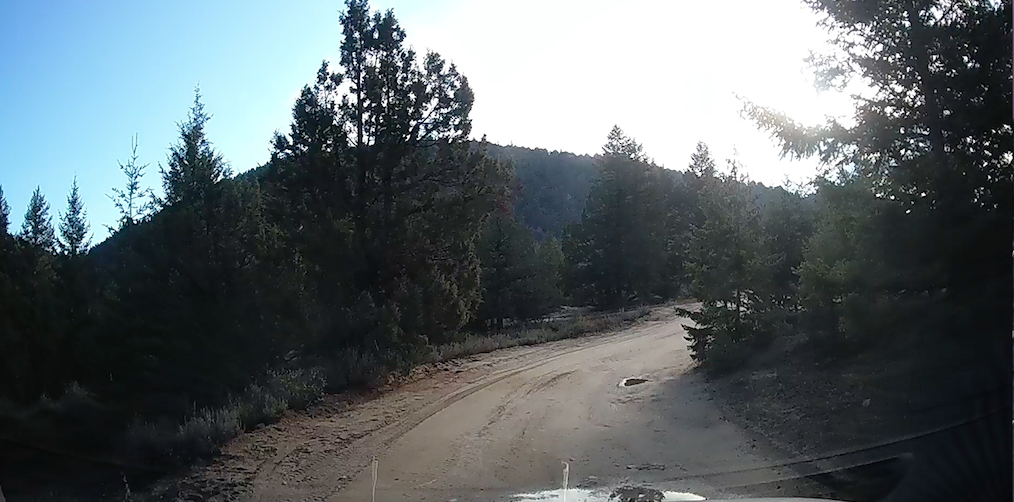
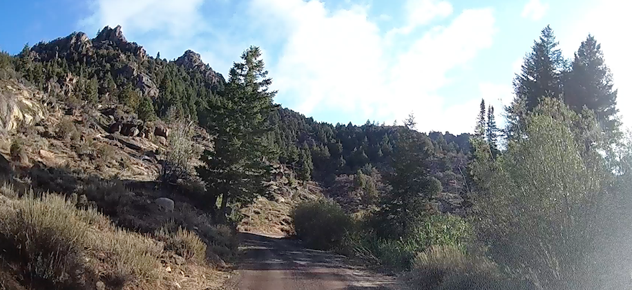
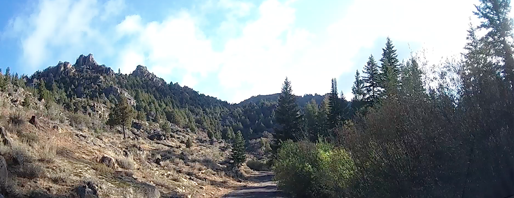
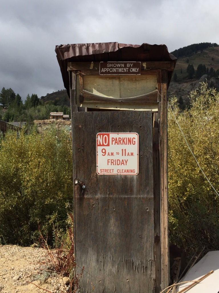
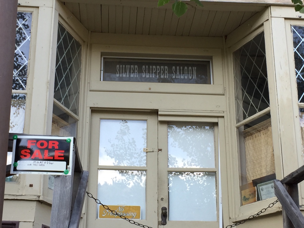
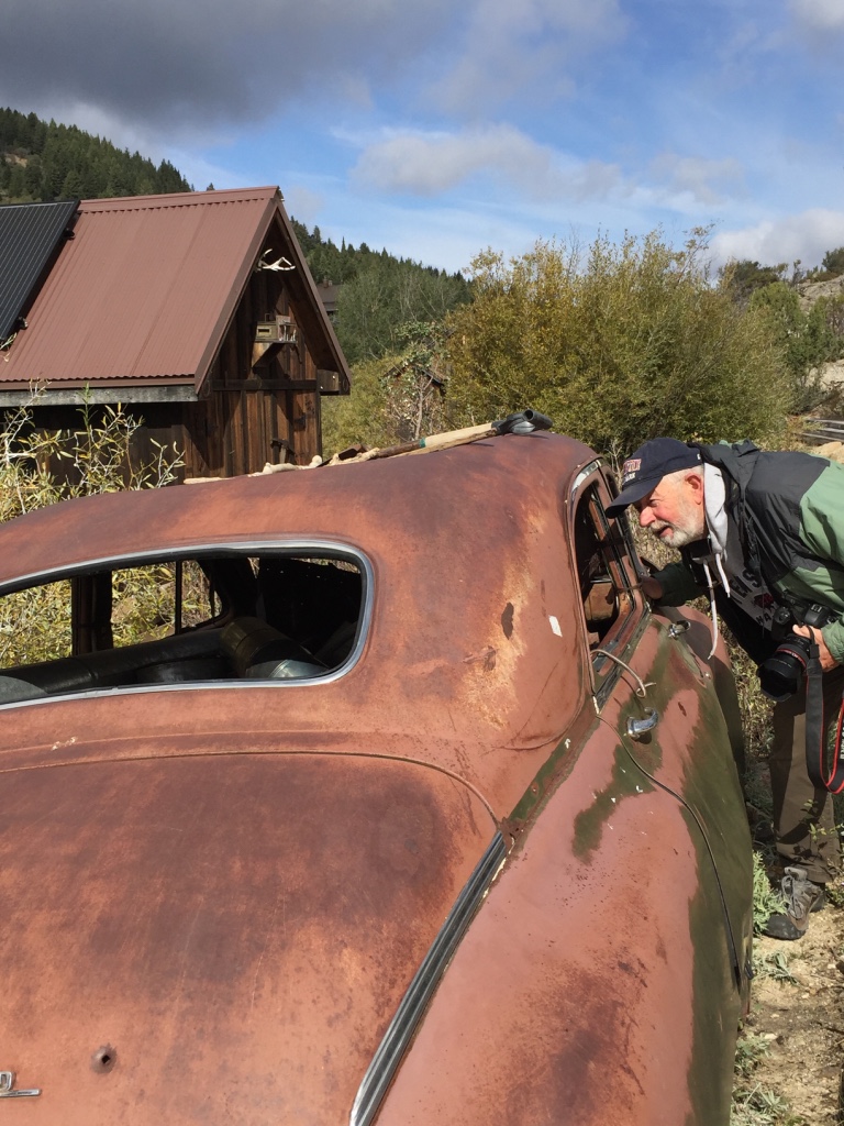
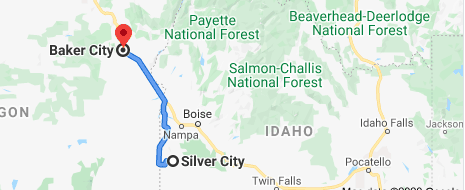
Silver City, Idaho
September, 2019
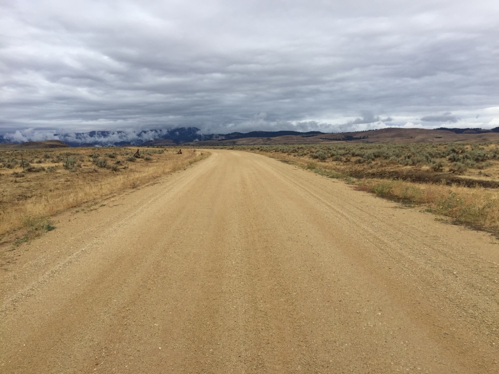
A little more than twenty-six rugged miles from the
Jordan Valley in Oregon, is
Silver City Idaho.
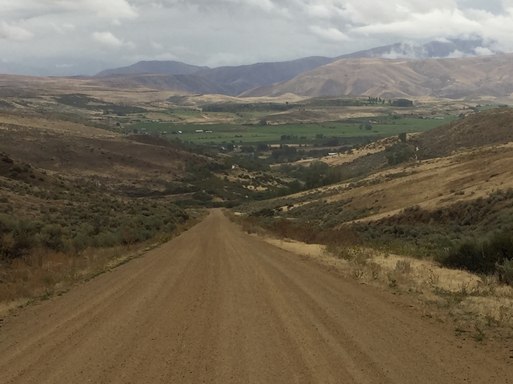
You know, travelin’ the back country like this, gets a mind to thinkin’.
Wandering. Wondering…
What was it really like?

This road to opportunity?
The anticipation.
Maybe even the longing…
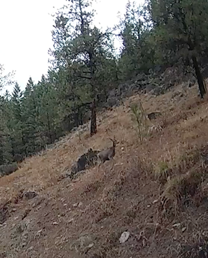
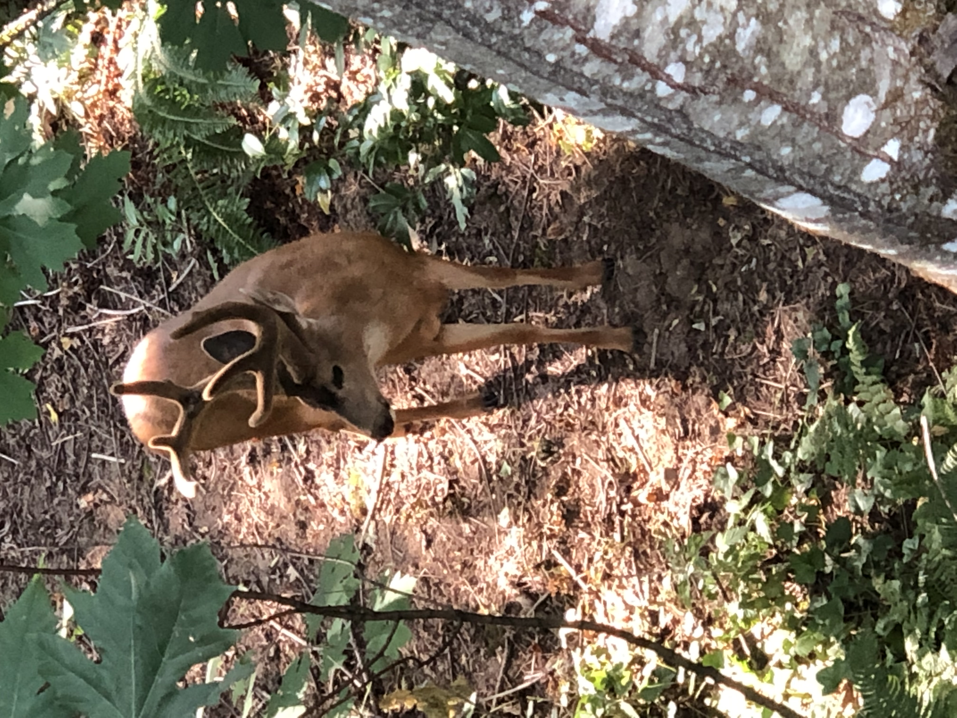
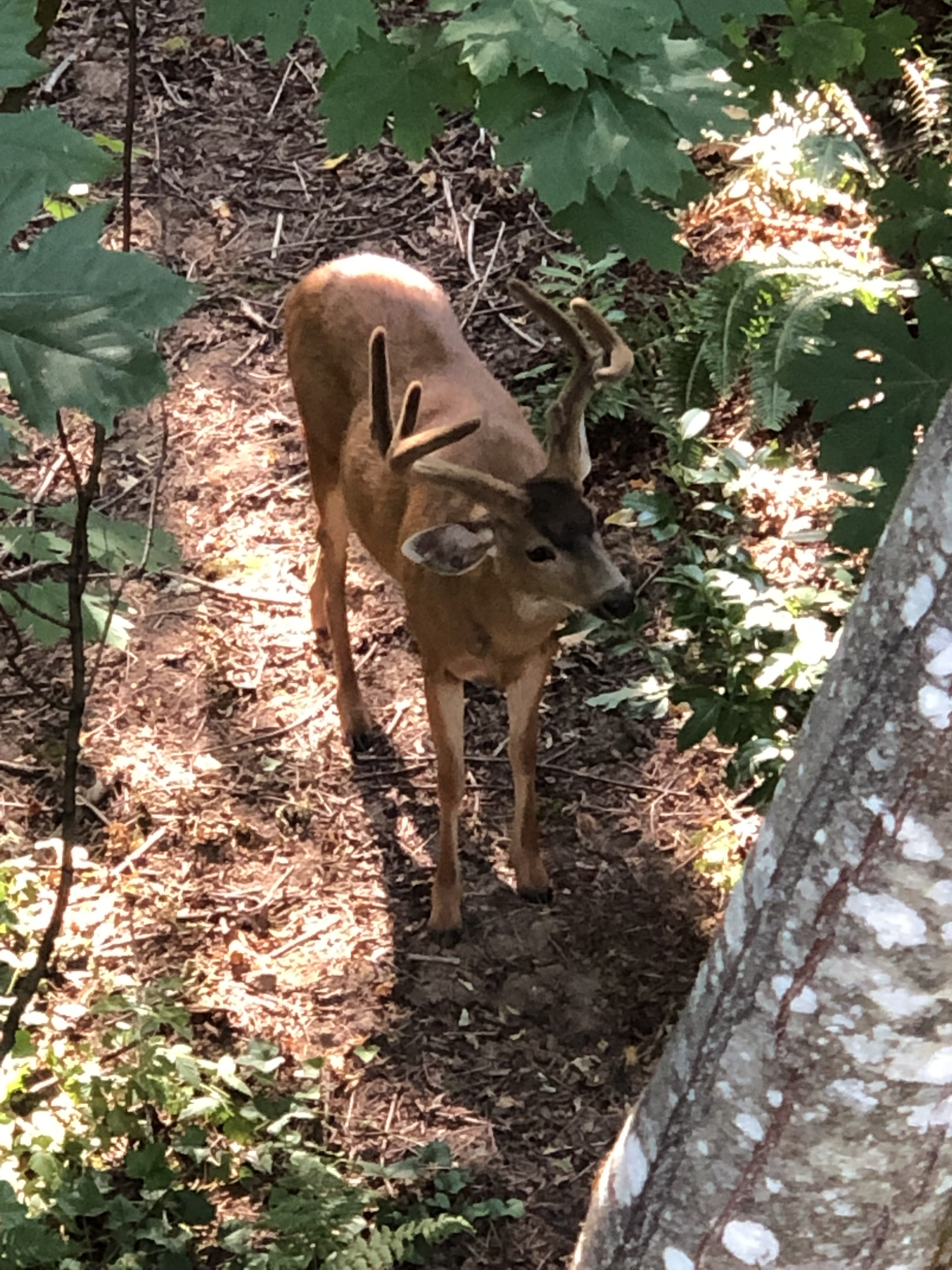
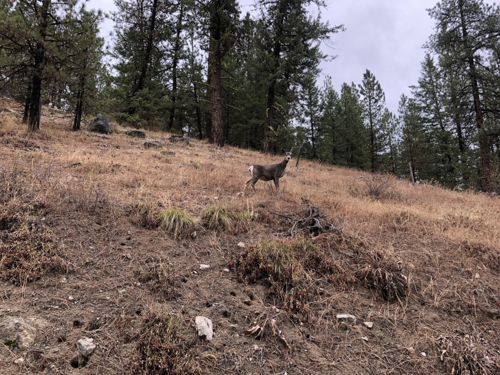
Do you have your sites set on a deer?
Why…
They are here!
The prospects that lay just around the next corner.
Watch out for explosives!

Were they born of a restless nature?
Those that came before us, I mean.
With a hankerin’ to move.
Did they leave loved ones behind? Had they loved and lost?
Or were they simply lost in love? Anxious to explore the majesty of mountains that sprang up ahead of them.
Was it the call of the wild that drew them West? Or was it to get rich quick?

Well, what ever it was, we have arrived.
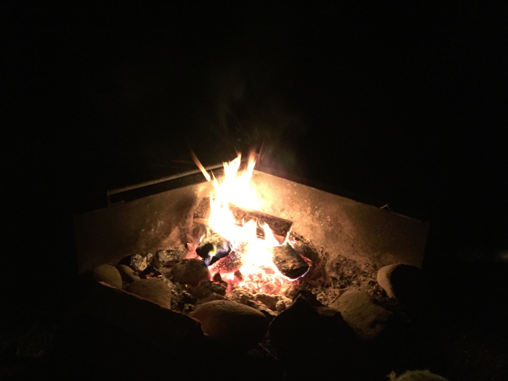
And breakfast is served!
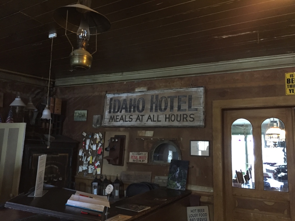
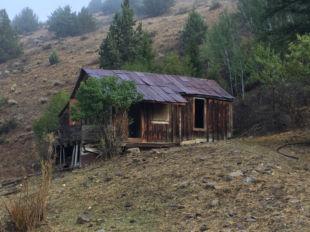
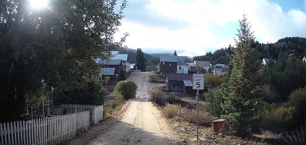
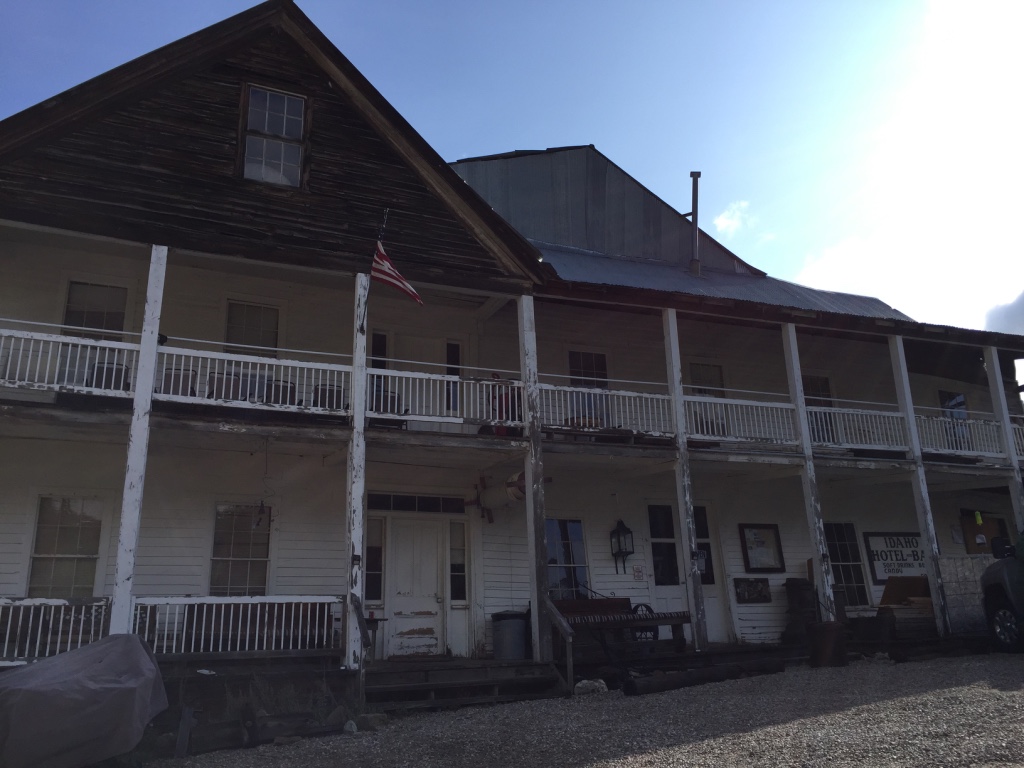
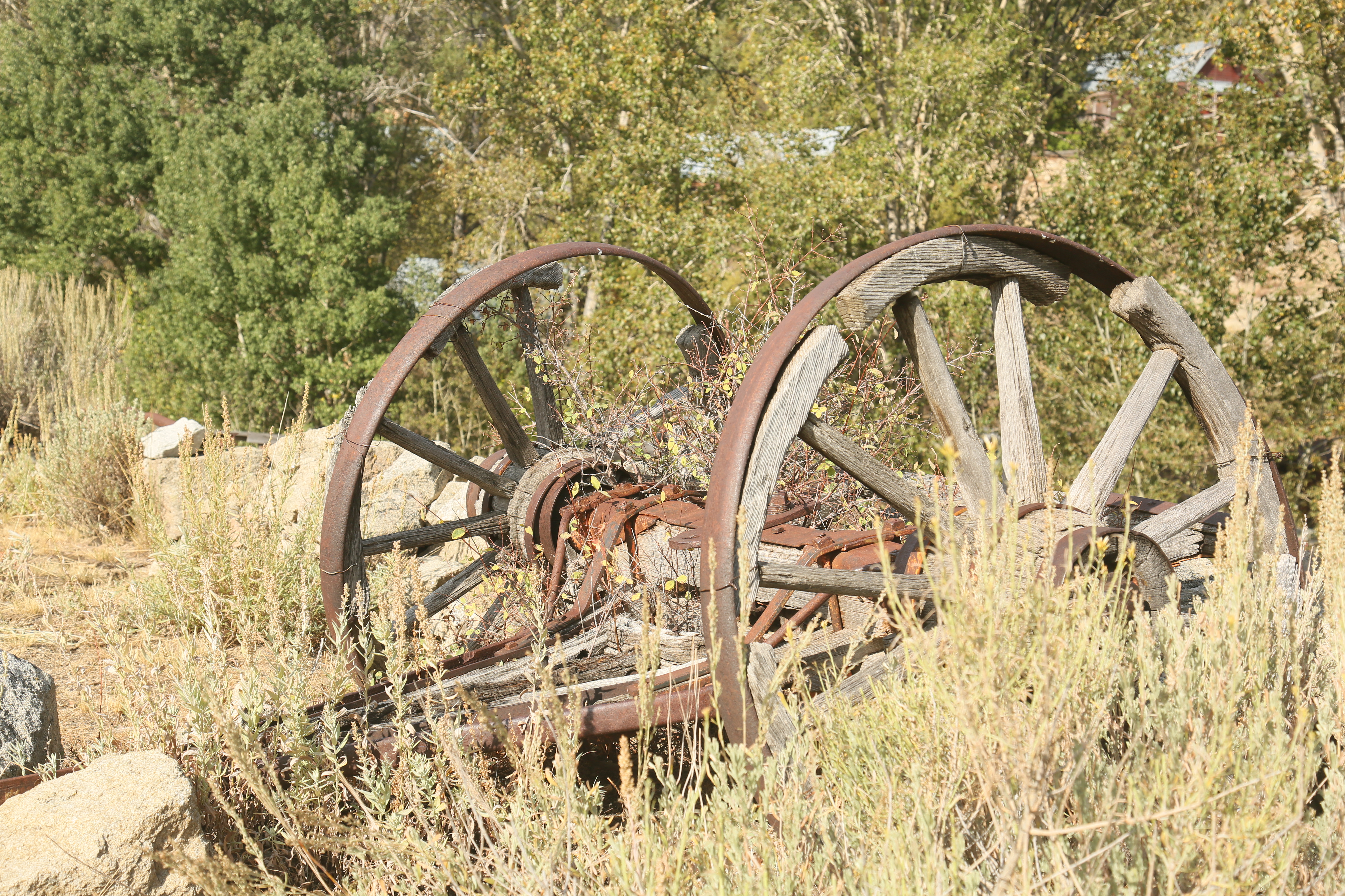
Silver City is a boomtown that sprang to existence in 1865…
with the discovery of silver ore on War Eagle Mountain.

So we knocked on the door of opportunity…

and ushered ourselves in.

Prior to 1865, in 1863 placer gold was discovered along the Jordan Creek.
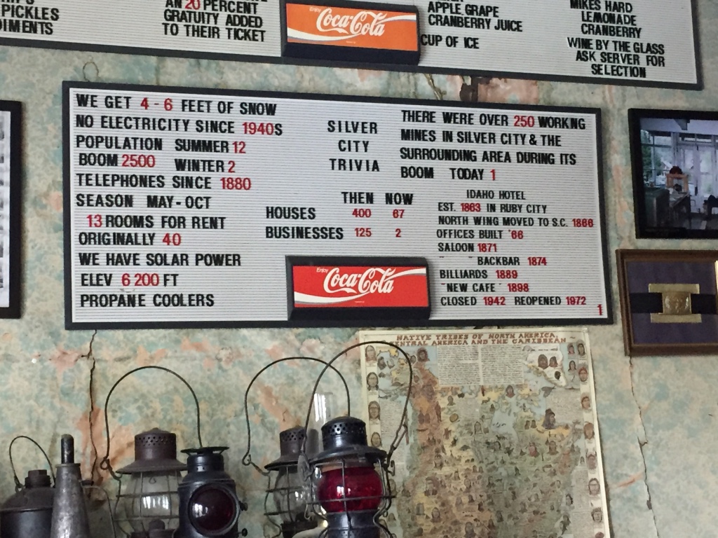
So with the mining activity growing in the region, Stamp Mills were installed at Silver City and it became the county seat in 1867.

In 1875, with the collapse of the Bank of California, which financed most of the mines, work stopped and people moved elsewhere.

Agriculture became the major industry in the lower countryside and the county seat was moved in 1935.

Today,
the remaining buildings in Silver City
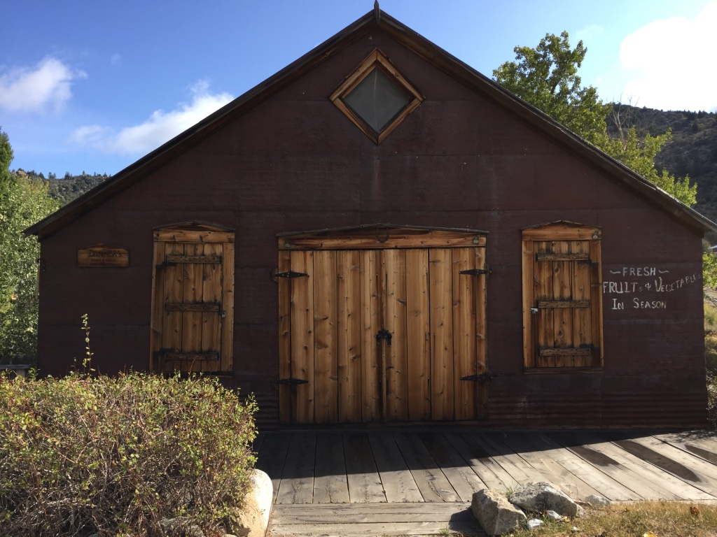
are privately owned.

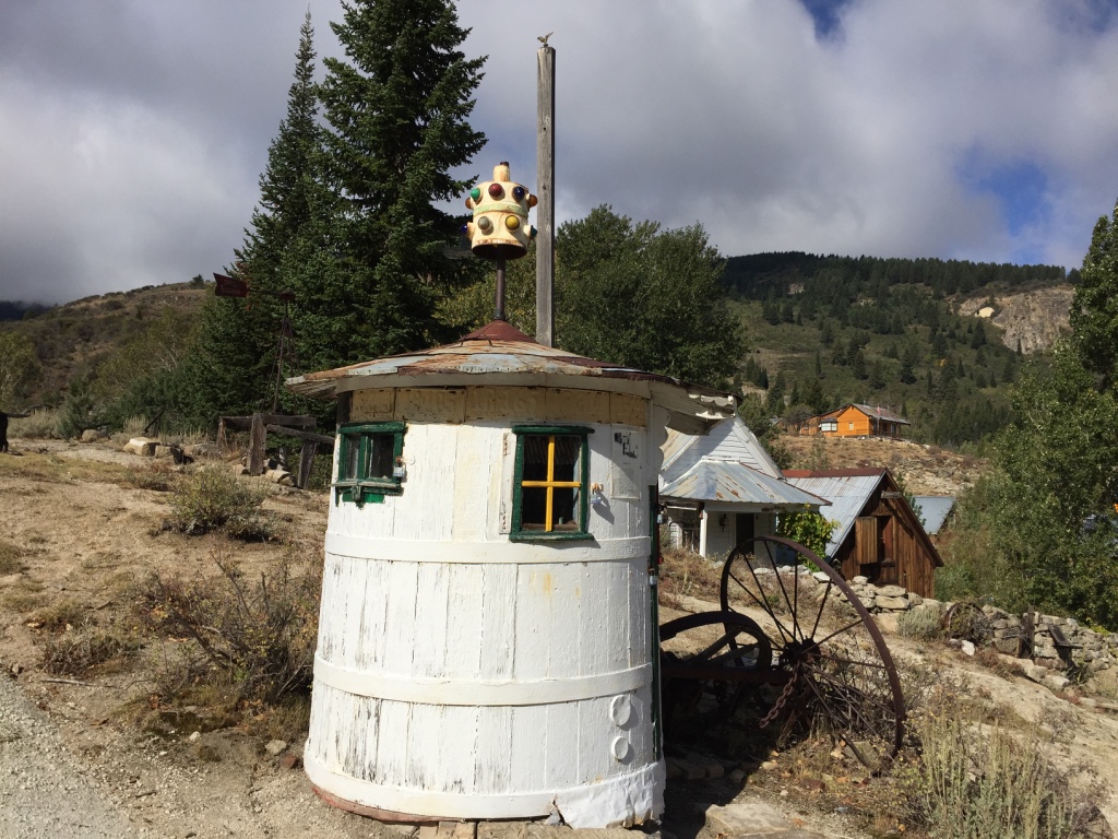
Miners use them while they work their claims…
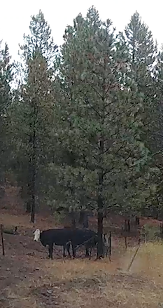
ranchers light as they round up their cattle…
and some just relax in this remote get-a-way.

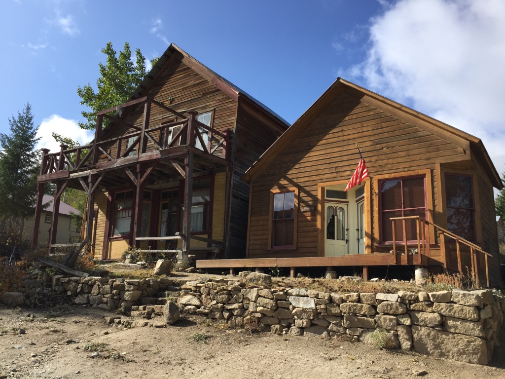
Residence of Silver City carry themselves with a quiet confidence commonly found in The Old West.
You are most welcome to browse.
But don’t try anything!
OR…


Best to leave real
peace-a-ble, like.
No Name City!
I was born under a wand’rin’ , wand’rin’ Star…
Wheels are made for rollin’…
Mules are made to pack.
I never saw a sight that didn’t look better lookin’ back.
Home is made for coming from…
Now, I’m no sagebrush orphan. I’m from the prairie, 153 miles N.E. of Walnut Grove.

And back in ’69 my Pa and me… ya see, Mama sent us on an outing.
So…

Off we went!
And I Loved it!
for dreams of going to…
Funny how dreams are, isn’t it?
Some are just passing thoughts in the night.
Others present themselves with choices.
Or twists and turns.
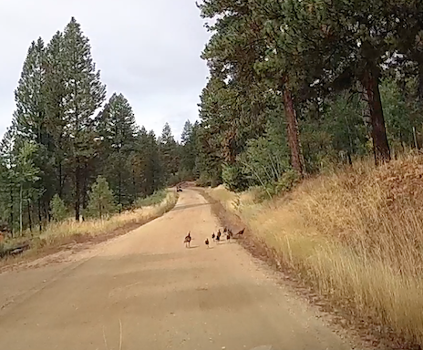
And then we have those for which wild turkeys couldn’t keep us away!
And then, well, there are…
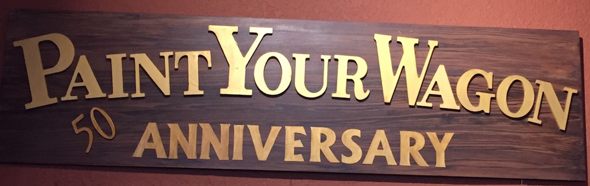
dreams that are fifty years in the making…
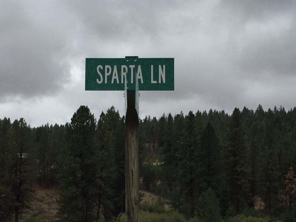
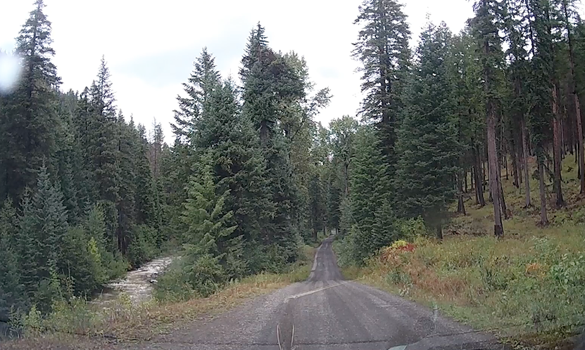
Turn left on Sparta Road. (Dirt surface)
And travel thirteen miles to East Eagle Creek Road.
On the East Eagle Forest Road 70 travel North about six miles.
Find road 7020.
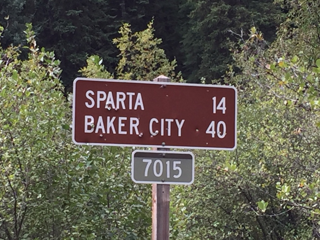
Huh?
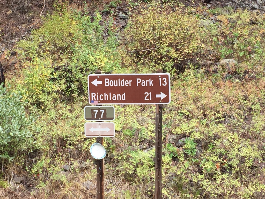
Forest Road 77 for 4.6 miles and cross Eagle Creek…

Then 3.7 miles…


All this gives way
to the Eagle Cap Wilderness area…
in the rugged Wallowa Mountains.

No Name city.

No Name city.
Your reckoning day is near!
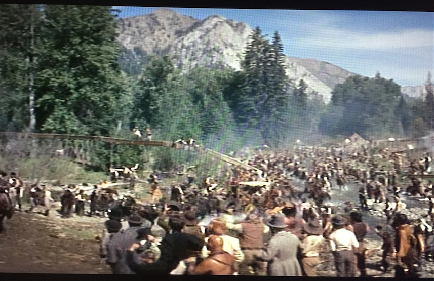
No Name City.
No Name City.

The Lord don’t like it here!
 No Trail Ride for…
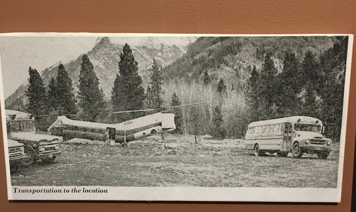
Clint Eastwood and
Lee Marvin to
“No Name City”. They went by Helicopter!
No Name City-
Here it is!
I Mean…
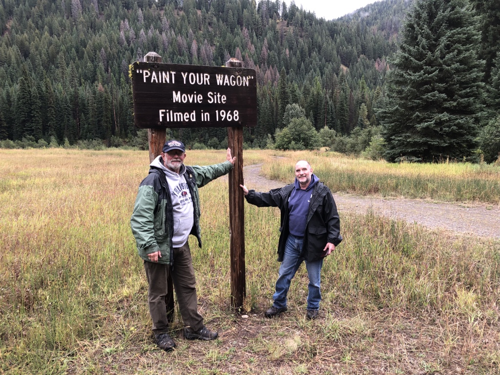
HERE IT IS!!!
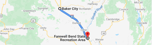
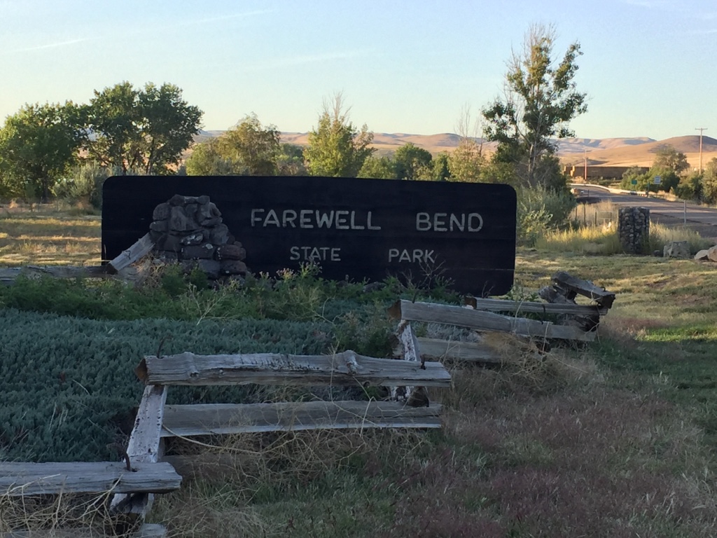
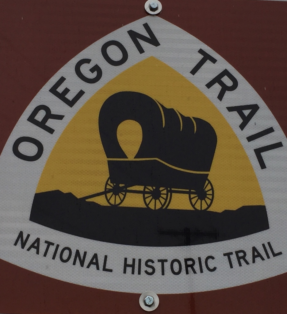
After following the Snake River for 330 miles, pioneers along the Oregon Trail rested here at Farewell Bend.
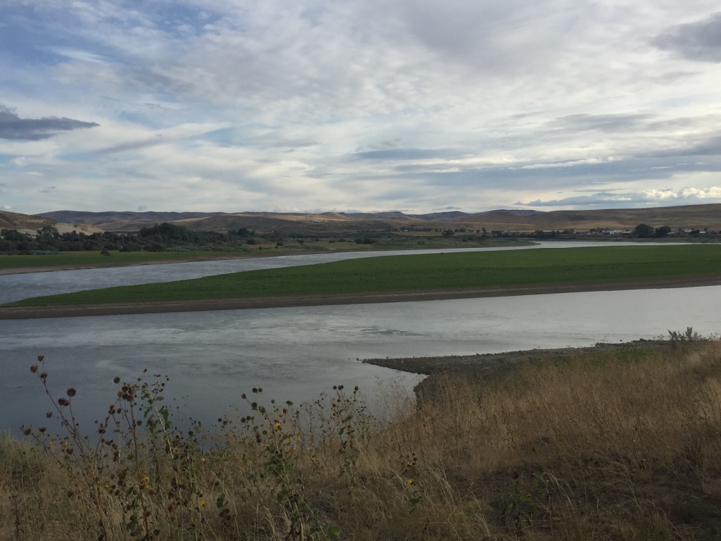
After our adventurous trek along the Oregon Trail and exploration into some of Oregon and Idaho treasures, this was our last stop before returning to the Willamette Valley.
We made some improvements to the wagon…
and look forward to what is around the next corner!
May God Bless you with a wall for the wind, a roof for the rain and a warm cup of coffee by the campfire.
-Will
Great blog. TONS of terrific history!
Hi Will, you really have done a lot with this blog. Very entertaining and informative. I’ll bet you are having fun with this.
Thanks for sharing!!
Very nice blog post. I certainly appreciate this website. Georgena Axe Hershell
Some really great content on this site, saved to my bookmarks. Trula Giraud Garland
Outstanding story there. Take care!| Lonee Melvyn Quent